A week after the Masungi Georeserve adventure in Rizal, I joined my first day hike. I was asked by Jan-J, the hike organizer, if I would like to join their group, and without thinking, I just said 'Yes'. My office mate who was also joining the hike said to prepare for it, and to bring enough water, and trail food. She also mentioned to bring with me a flashlight since we are most likely to start the hike when it is still dark.
I wanted to be prepared, so I brought with me 4 liters of water, a lot a trail mix, and a miners flashlight. I did not realize then that bringing more than a liter of water to a long hike is an extremely bad idea. I tell you, I wanted to literally die and give up after 2 kilometers of walking with 4 liters inside my bag. So lesson learned, bring only enough water, not more than 1 liter is preferred, and you can just do a refill when you're in the mountain. There are rest stops in Tapulao where you can get some water, which by the way is absolutely refreshing.
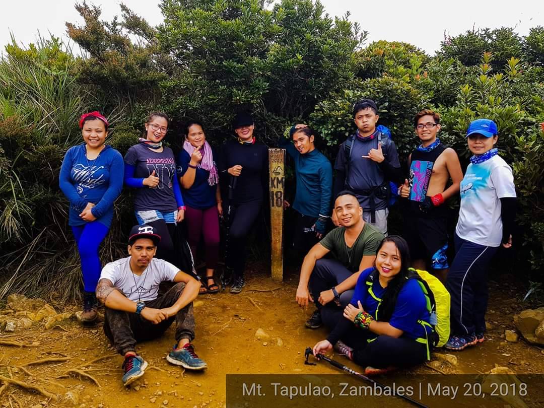
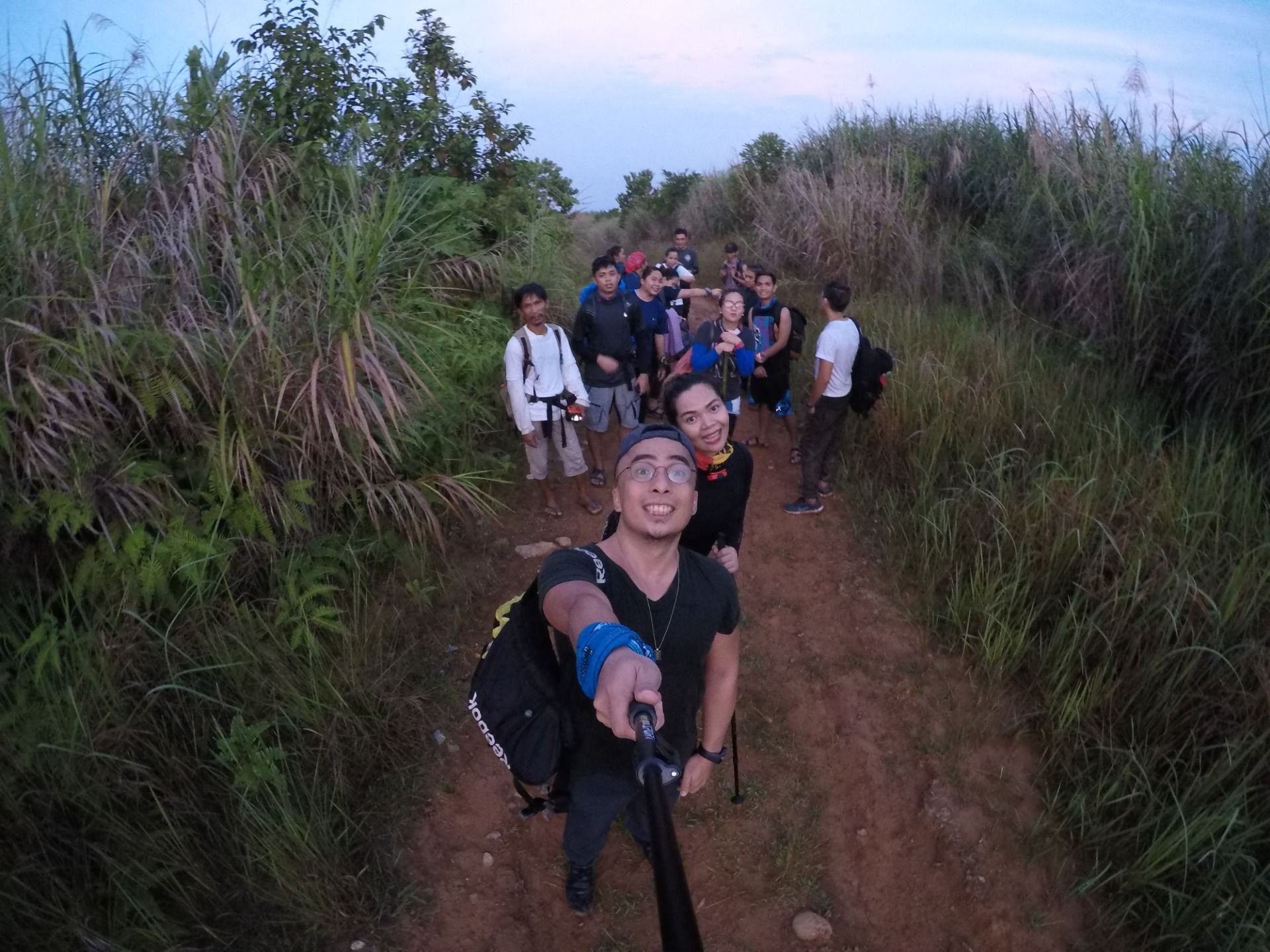
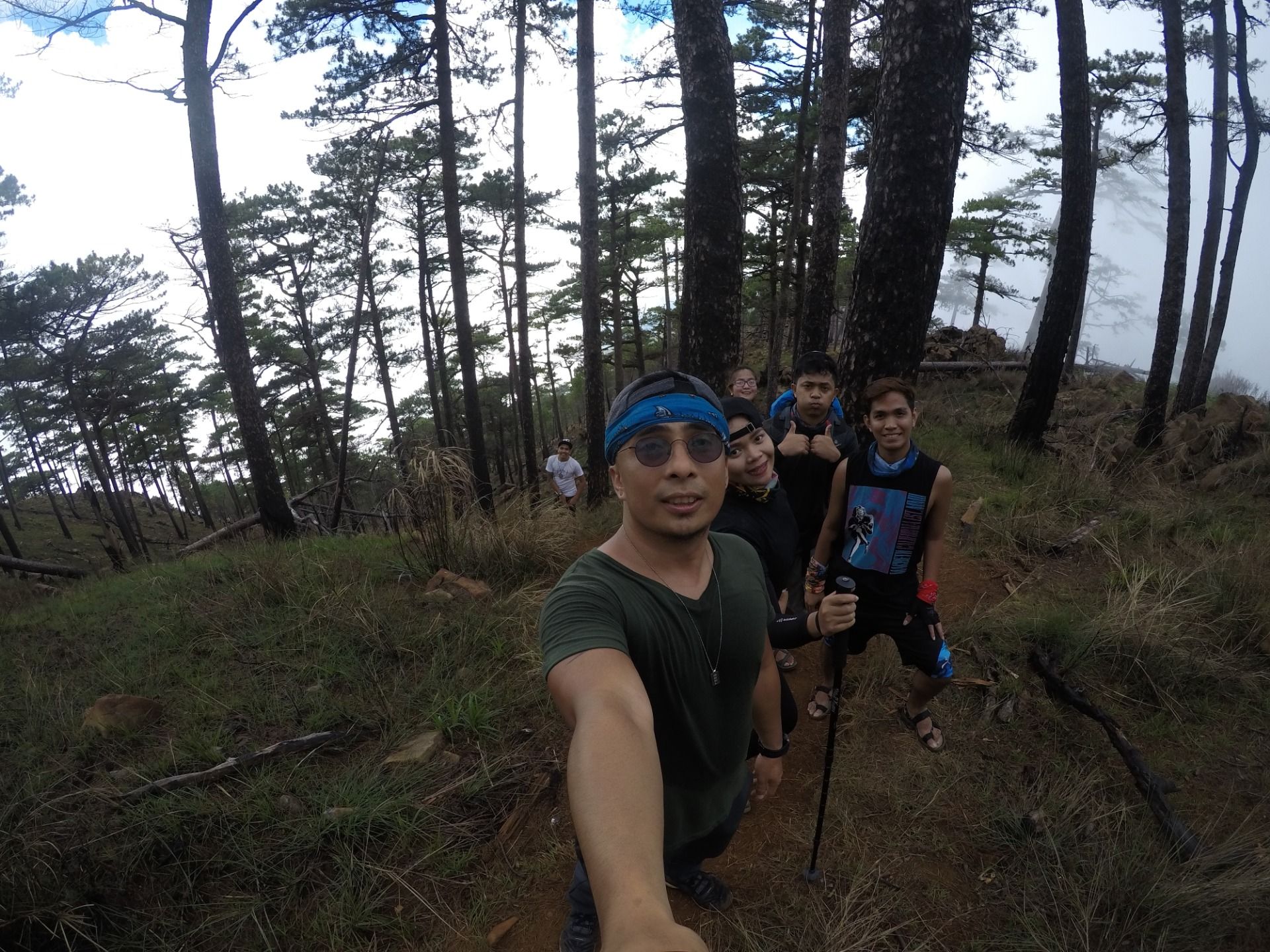
We arrived at the Jump Off point in Zambales at 4 in the morning. We were asked to register, and Jan-J our organizer gave us a quick orientation on rules and how to keep everyone safe during the trip to the summit. A few minutes later, we were all ready to start. And, mind you I have not realized yet how difficult the hike is going to be.
We started walking on paved road. The slope however is too inclined that walking up to the end of the pavement is a struggle. And remember, I have 4 liters of water in my bag. When we reached the end of the paved road, we started walking on gravel which turned to a muddy road. Mud were sticking on our sneakers, making it heavy. During this time, my legs were ready to give up. So I had to give up my 2 liters of water, otherwise, I will not be able to continue the climb.
After losing some of the weight I am carrying, walking up the mountain became more bearable. Still it was quite a struggle because the mud is making the climb very difficult, and we were just on the first 2 to 3 kilometers to the summit.
The group endured the mud, and was rewarded with a flat terrain. But the relief was short lived because after a few minutes of restful walk, we were rewarded with more than an hour of assault. Our legs were screaming mad. The flat terrain and assault alternated for hours until we reached the 10th kilometer walk where we rested for a bit, took some pictures, and ate some trail food. I was too thirsty I wanted to drink a lot of water but realized I have to save some since I was unsure when we can get a refill, and I was too shy to ask for water from my fellow hikers. So I just took a sip.
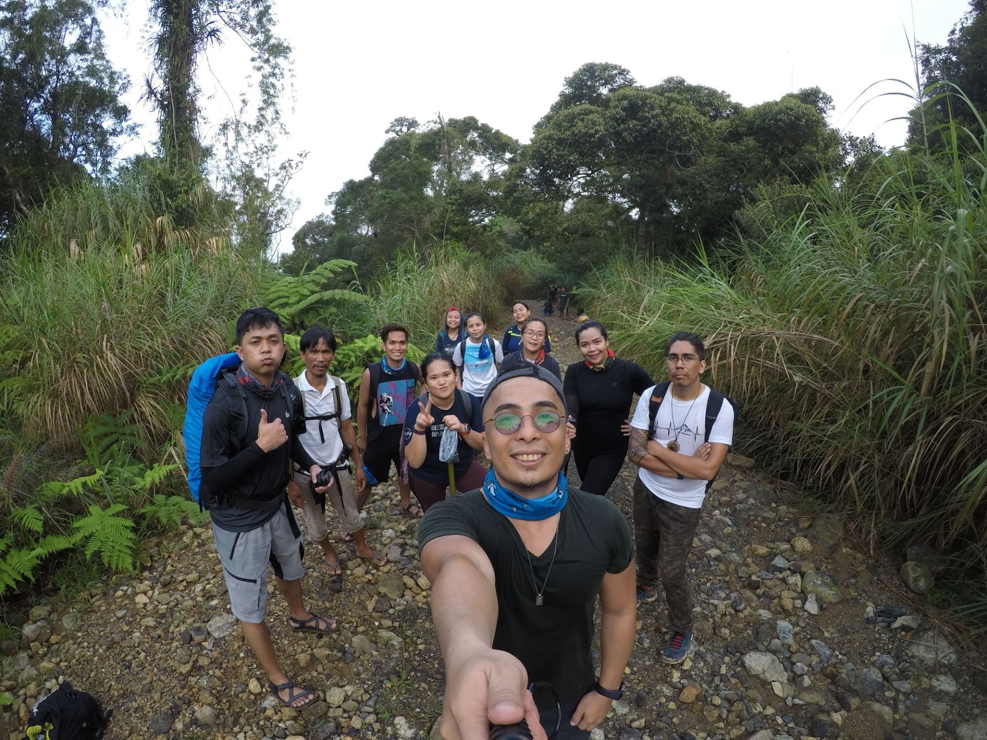
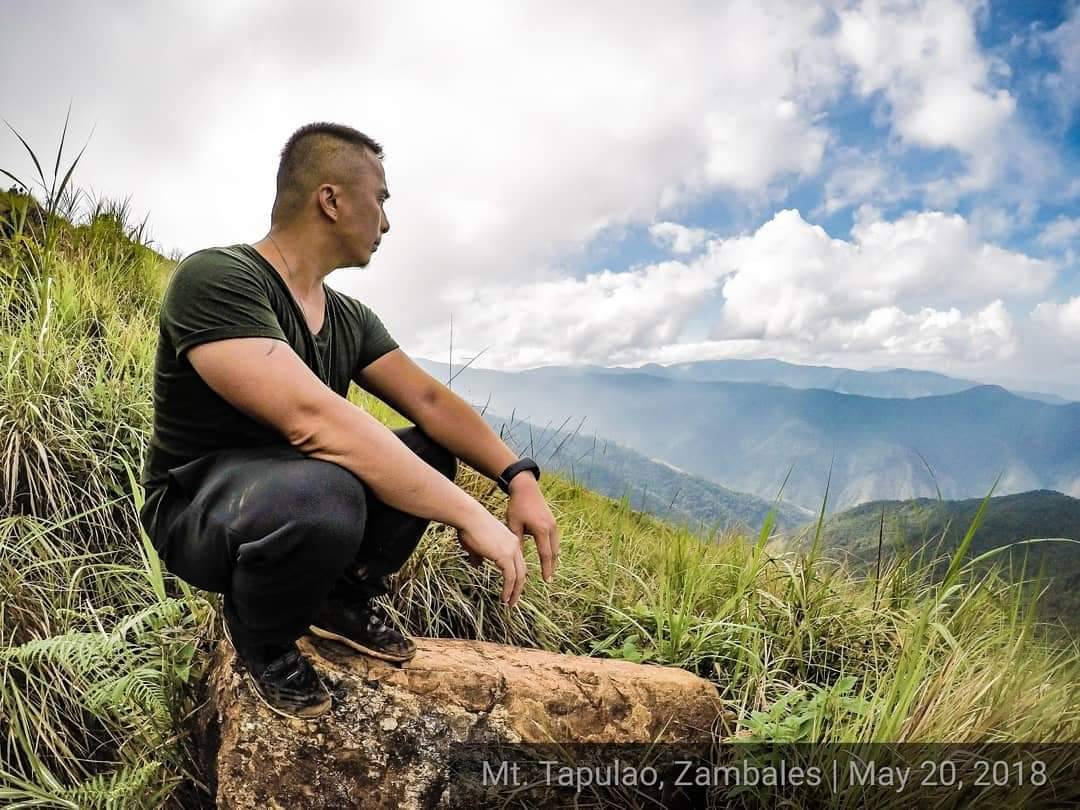
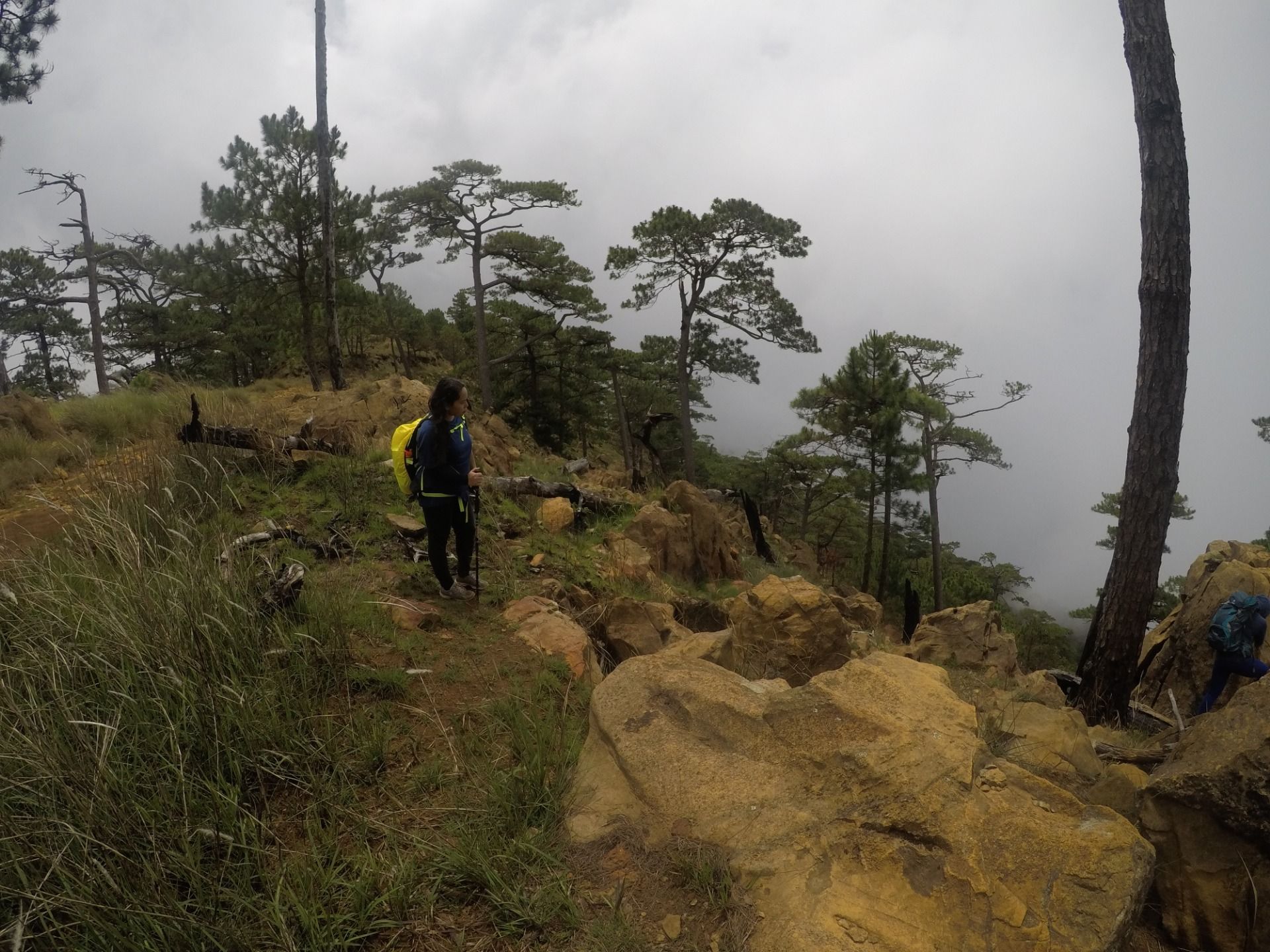
The 11th to 14th kilometer walk was mostly flat, with some assault, and the view of the mountain and the forest was absolutely majestic. I took in much of the view, and felt energized after.
Ready to Blog & Earn?
With TravelFeed, easily start your own travel blog and earn as you go. It's the smart platform for travelers who want to profit from their passion. Create a free account
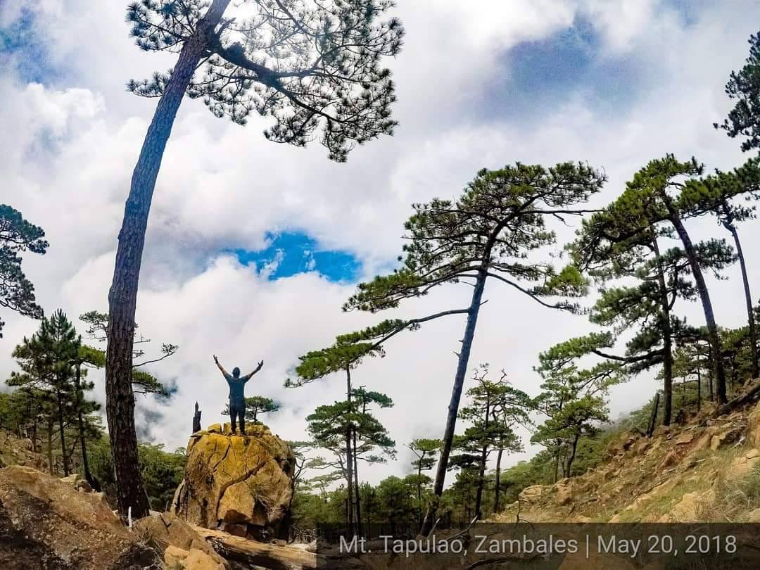
When we were on the 15th kilometer walk, we started seeing huge boulders of rocks that we had climb. Messages of encouragement and some humor where written on the faces of these rocks that added to the fun. Kudos to those who wrote the messages, it did help us endure the climb.
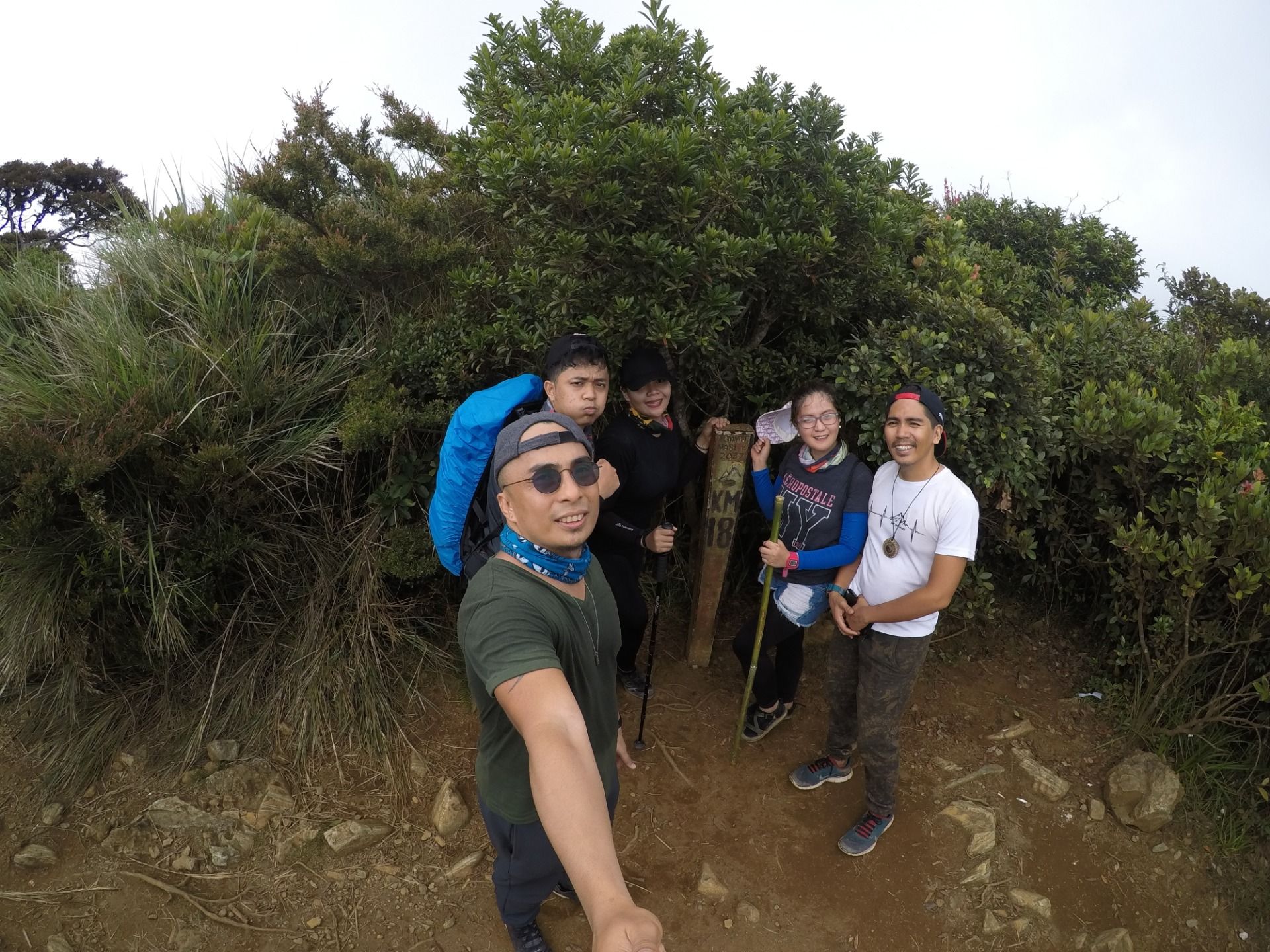
We rested for an hour when we reached the camp site. We were told that the we were already near the summit, and that it'll just be a 30 minute climb through the mossy forest. Yes, you read it right, we had to go through the mossy forest to get to the summit. The trek was almost mystical, and felt more like we were going through the forest of the evil witch. It was a bit creepy. I wonder if people would hike through the forest at night. I did not ask.
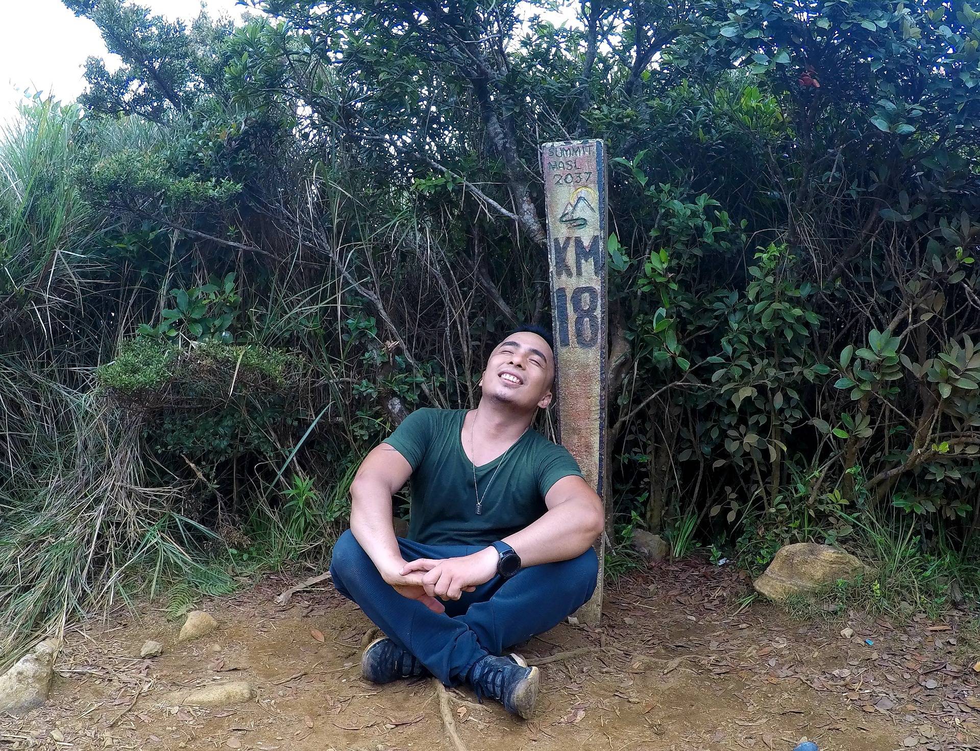
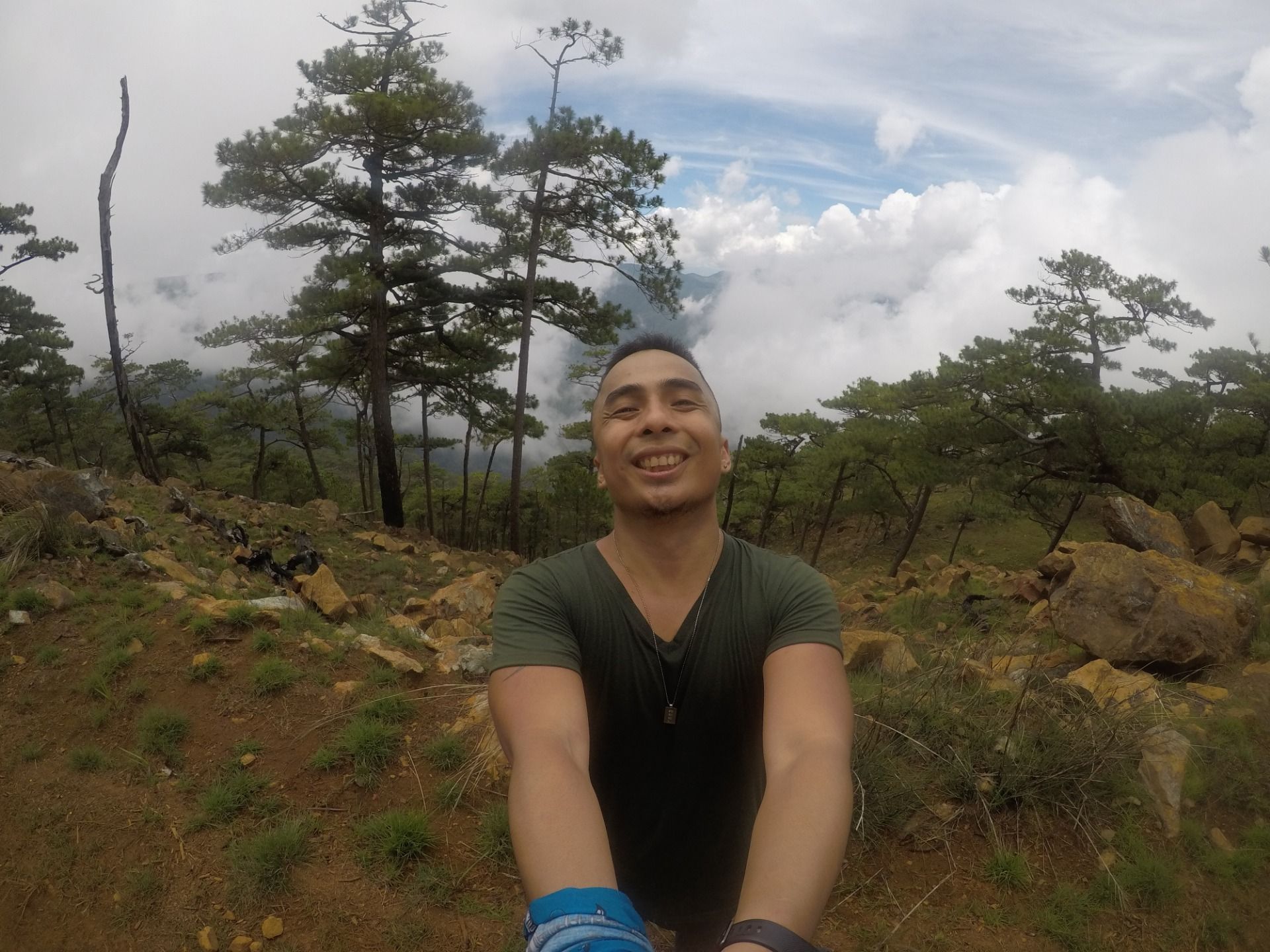
After almost an hour of walking, we finally reached the summit. And it was not at all like your usual hike where you get to see the grand view of a clearing. Unfortunately, the summit of Tapulao is covered with thick ravines and more trees, and you will not really see the foot of the mountain from the summit. So other than the marker that says you've reached kilometer 18, the top of Mt. Tapulao does not at all feel like you're at the summit. But hey, I took a picture of myself with marker as proof that I survived the 18 kilometer hike. And what's next is to walk back to the jump off point. And, yes my friend, we had to walk back on the same day. You can imagine how that is like because we were already dragging our feet to walk during this time.
Don't Forget: Get Travel Health Insurance!
To make your trip a worry-free experience, TravelFeed recommends SafetyWing Nomad Insurance. It provides comprehensive health coverage while you travel, so you can focus on exploring, not the unexpected. Get a quote here
Fast forward, we were almost down the mountain, and only a few more kilometers to the jump off point. Imagine me literally dragging myself to finish the hike. My legs were almost numb from the hike, and it was already 9 in the evening. So imagine us walking from 4 in the morning to 9 in the evening. I promise you, the only thing that was on my mind during this time is that I do not want to give up now because we are almost done, and It would be too embarrassing to collapse when you only have less than 3 kilometers left. So I endured it all.
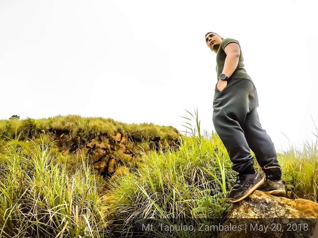
It was at the jump off point when a fellow hiker congratulated me on finishing a Major Hike. And the hike is not at all recommended for first timers. And, I was a first timer. I was damn proud of myself. I walked the most number of steps on that day at 69,313 recorded steps, and climbed the most number of floors says my Smartwatch at 246. Both were new records which until now have not been beaten. All thanks to the 36 kilometer stretch trail with 2037 MASL elevation climb of Mt. Tapulao, Central Luzon's highest mountain. With me were amazing people, and together our strength, patience, and endurance were tested. We definitely can say that "We conquered Tapulao!"
Travel Resources for your trip to The Philippines
Recommended by TravelFeed
Flights: We recommend checking Kiwi.com to find the best and cheapest flights to The Philippines.
Accomodation: Explore the best places to stay in The Philippines on Booking.com, Agoda and Hostelworld.
Travel Insurance: Medical emergencies abroad can be pricey, but travel health insurance is not. We always use SafetyWing for affordable and reliable coverage.
Car Rental: For hassle-free car hiring, DiscoverCars is our trusted choice with a wide selection of vehicles.
Internet: Got an eSIM compatible phone? Airalo is perfect for reliable internet access during your trip. Just install it before you go, and you're set!
Day Trips & Tours: We recommend GetYourGuide for a variety of well-organized and enjoyable activities.
Travel Planner: Need a hand planning? Our free travel planner chatbot is your personal guide to The Philippines. Chat now.
Disclosure: Posts on TravelFeed may contain affiliate links. See affiliate disclosure.
