
Lengenfeld is a small village with around 1.400 inhabitants near Krems an der Donau in Lower Austria. The small village has established some nice hiking trails, including some circular hiking trails, for example to the Spiesberg mountain.
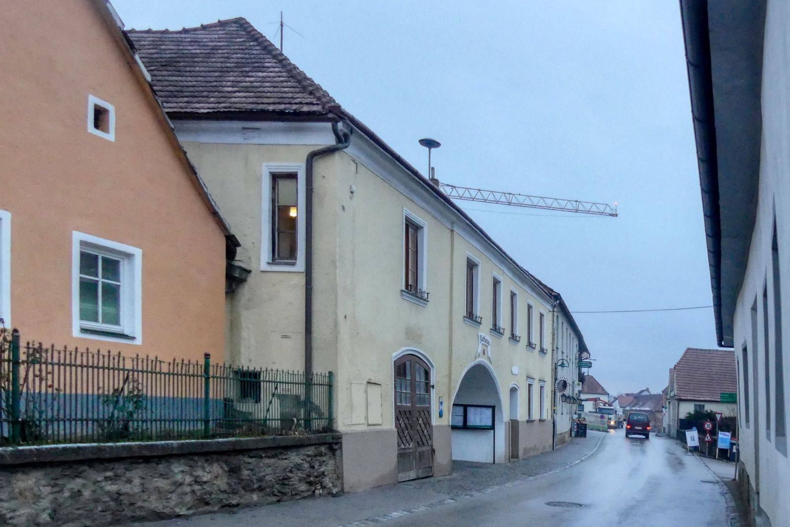
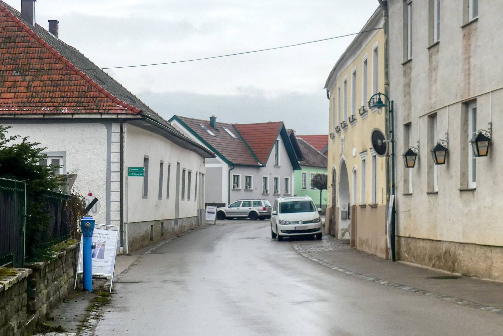
All hikes start at the municipal office of Lengenfeld

For the "Spiesberg Wanderung" you have to walk through the courtyard of the municipal office.
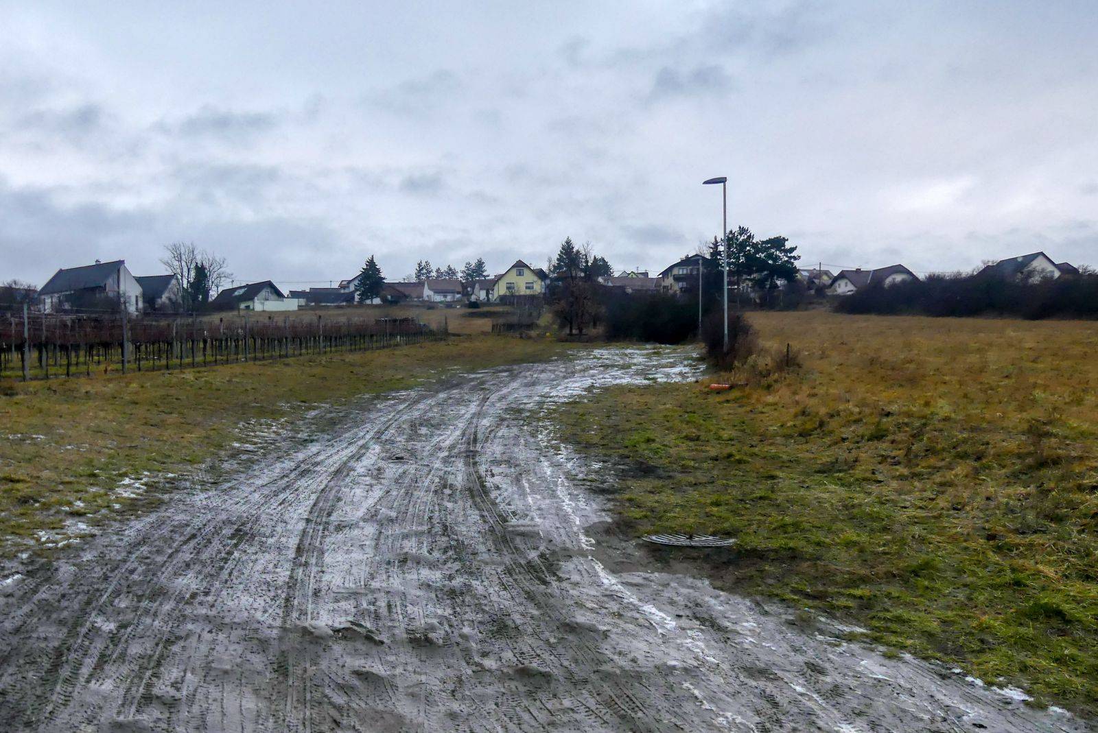
Then you cross a street called "Hofstatt" and continue your walk over a pasture.
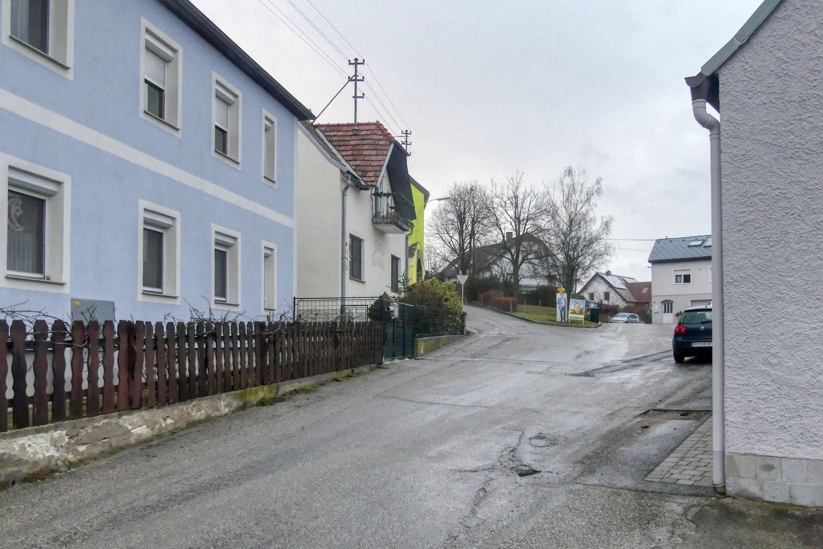
You will then reach a street called "Kollerweg" and turn right into this street, some meters later you have to turn left into the "Schickenberggasse".
At the next crossroads you have to take the left road.
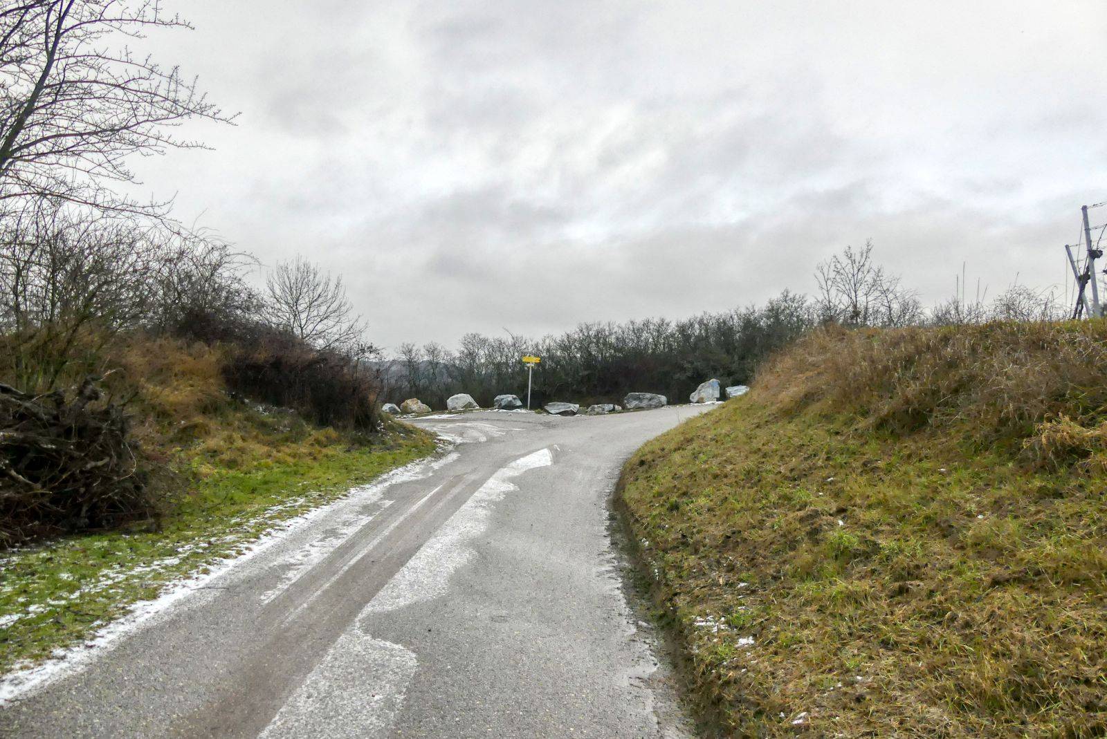
And at the next crossroads the right road. Then you continue walking straight ahead for a while.
Then you reach the main road L7030 and turn right into this road.
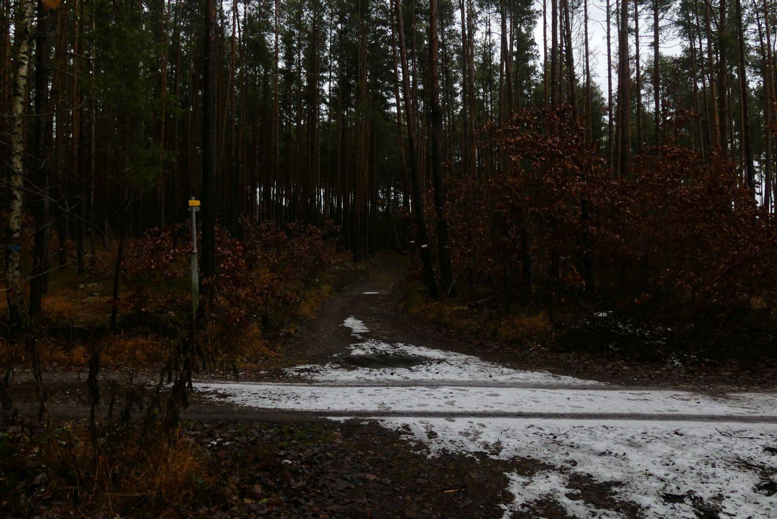
After 300 meters turn right into the wood and walk the path through the wood.
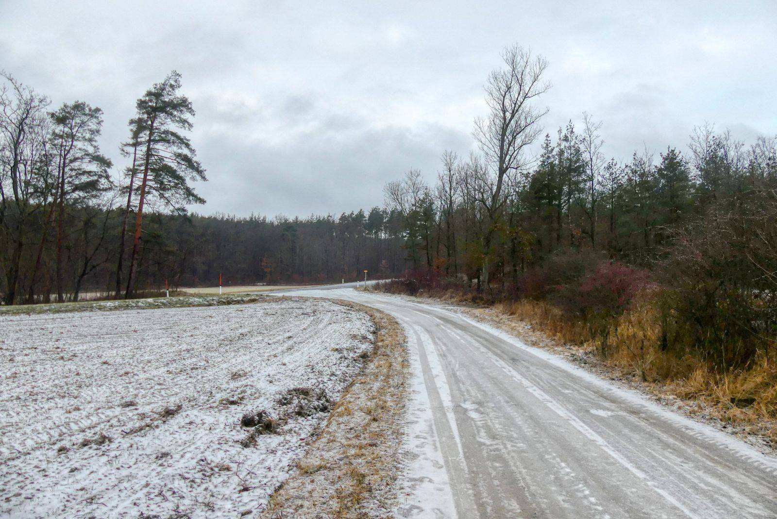
After 300 meters walking through the wood you will reach the main road L55 "Gföhler Strasse". Cross this road and walk again through the wood.
Follow this road for about 2 kilometers.
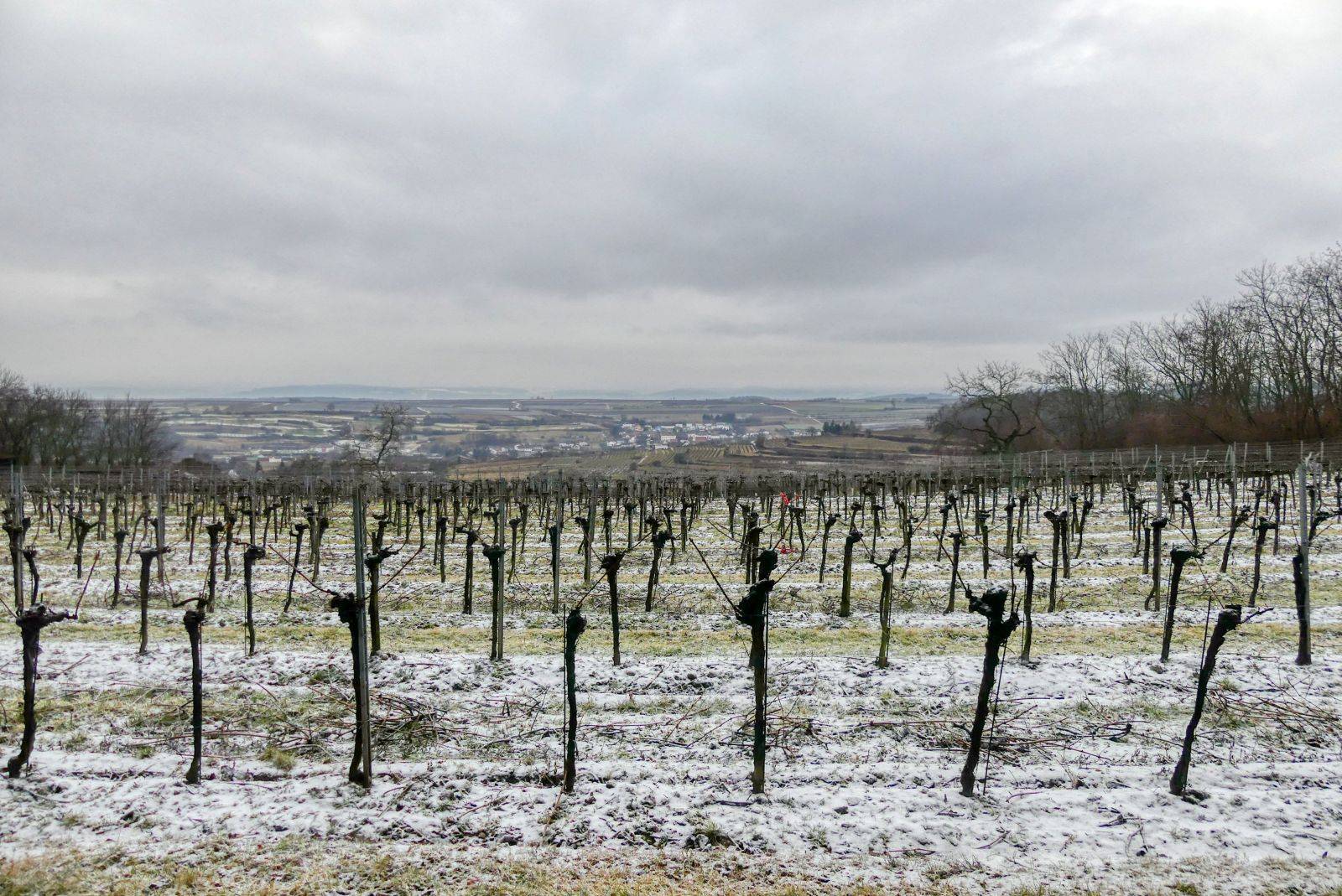
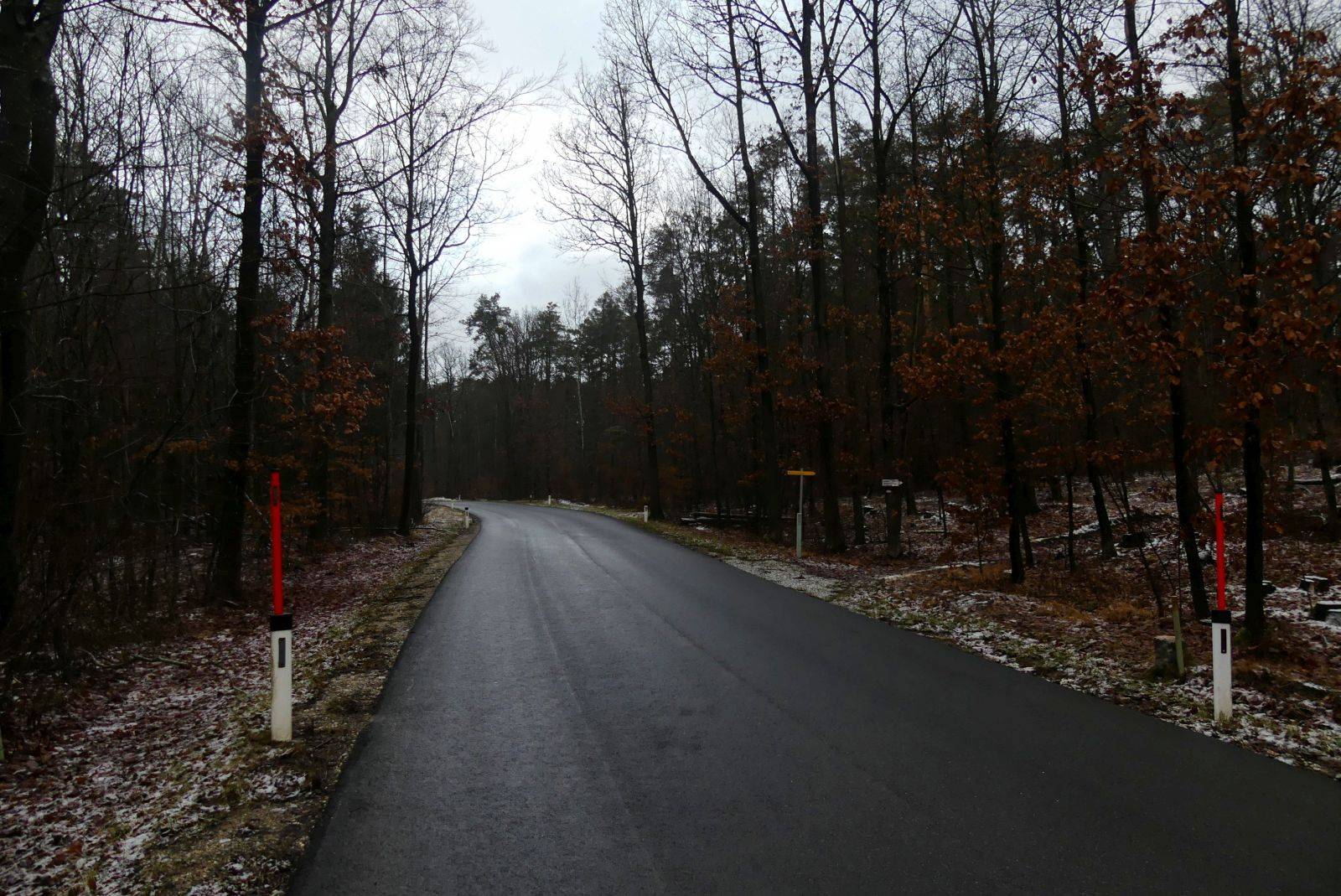
Now the bad news: The hiking trail won't lead to the "summit" because the summit is surrounded by trees and doesn't offer a beautiful view. But: sometimes you will have vineyards on your right side and from there you can look down to Lengenfeld.
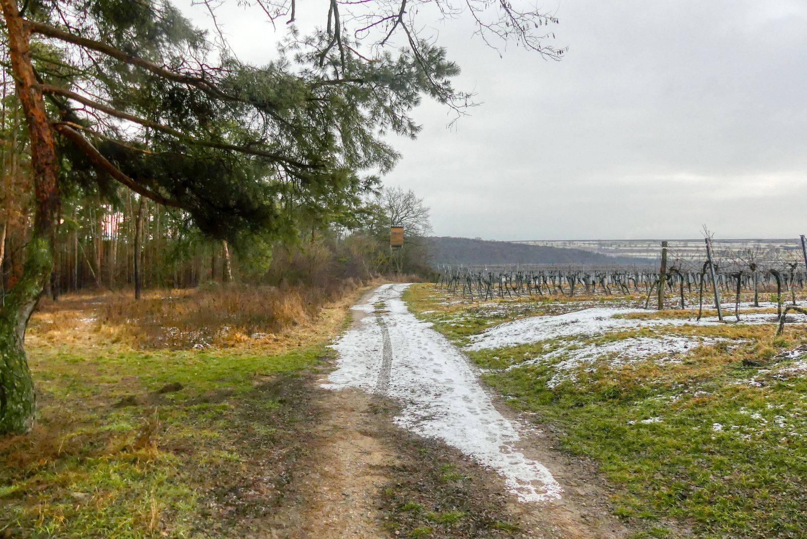
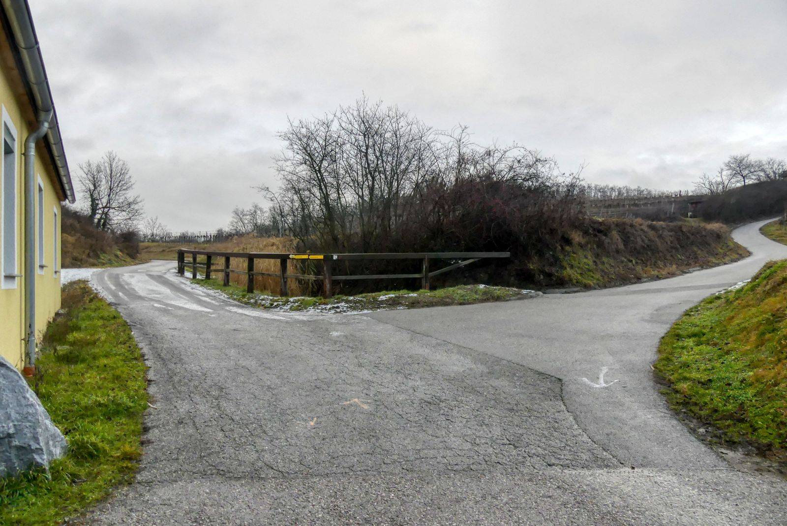
After 2 kilometers you will finally leave the wood and the road will make a right-turn.
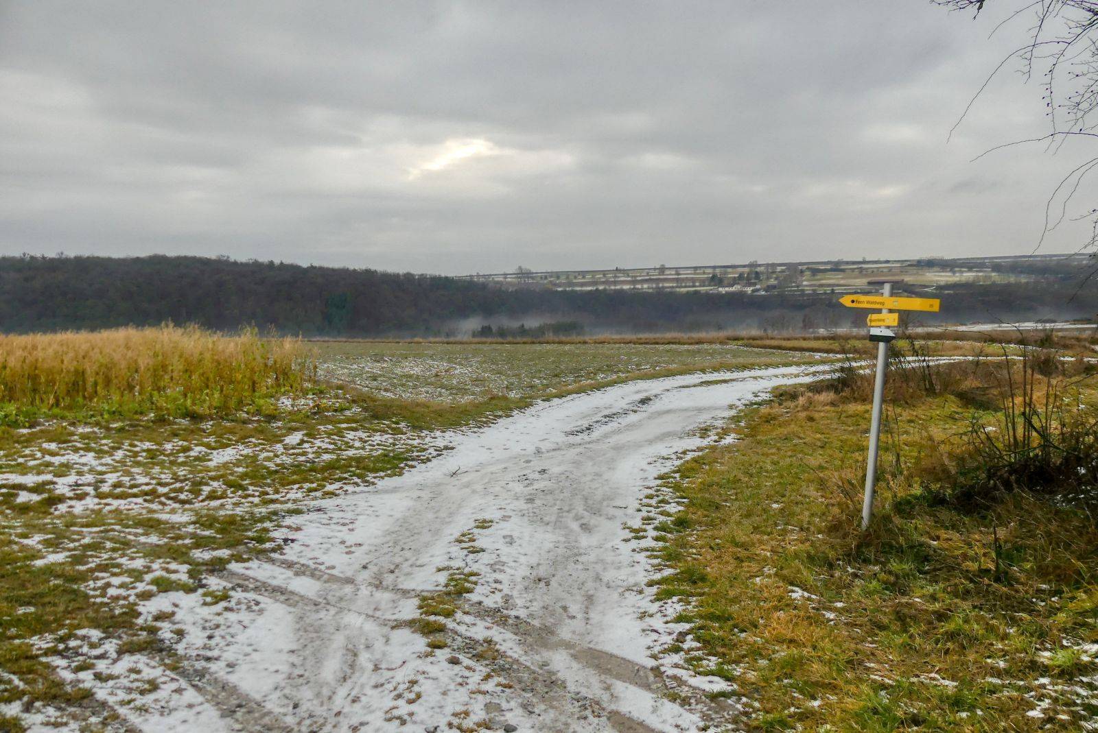
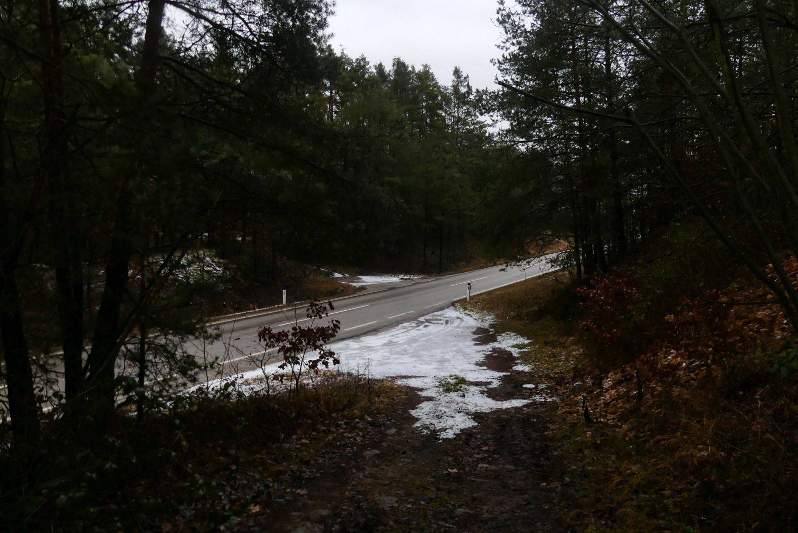
200 meters later you will have to turn left and again 200 meters later you have to turn right (see photo).
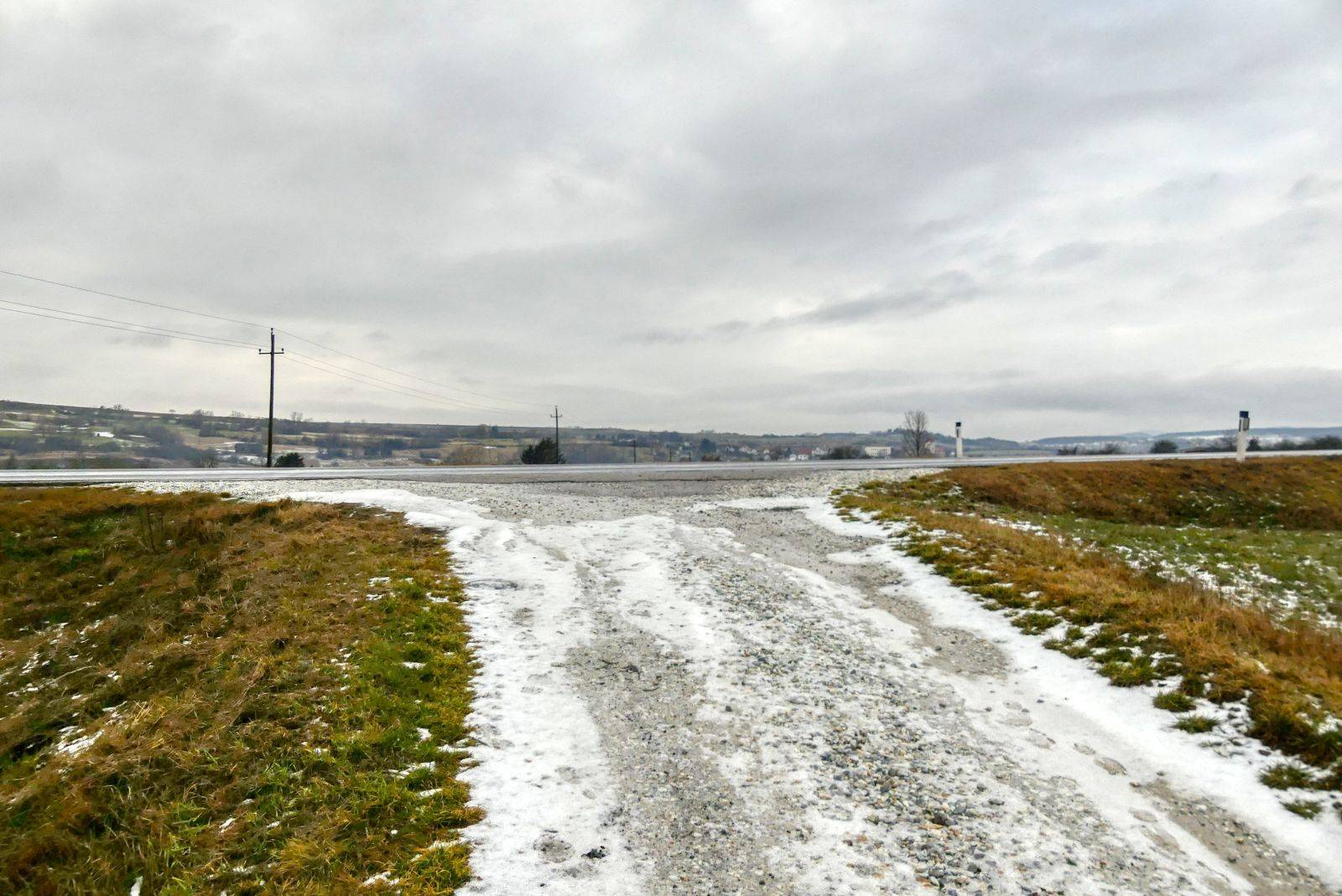
After walking straight ahead for 400 meters you will reach the L55 "Gföhler Straße" again and cross this road again.
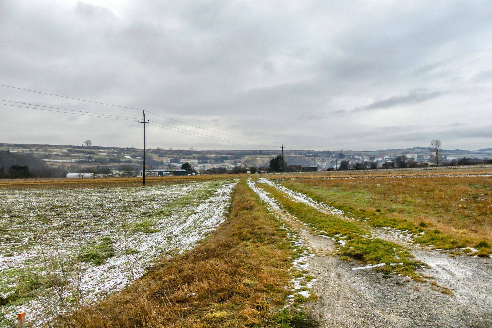
Then walk straight ahead through the fields.

Ready to Blog & Earn?
With TravelFeed, easily start your own travel blog and earn as you go. It's the smart platform for travelers who want to profit from their passion. Create a free account
The path through the fields will become broader by the time and finally become a street called "Mühlfeldgasse".
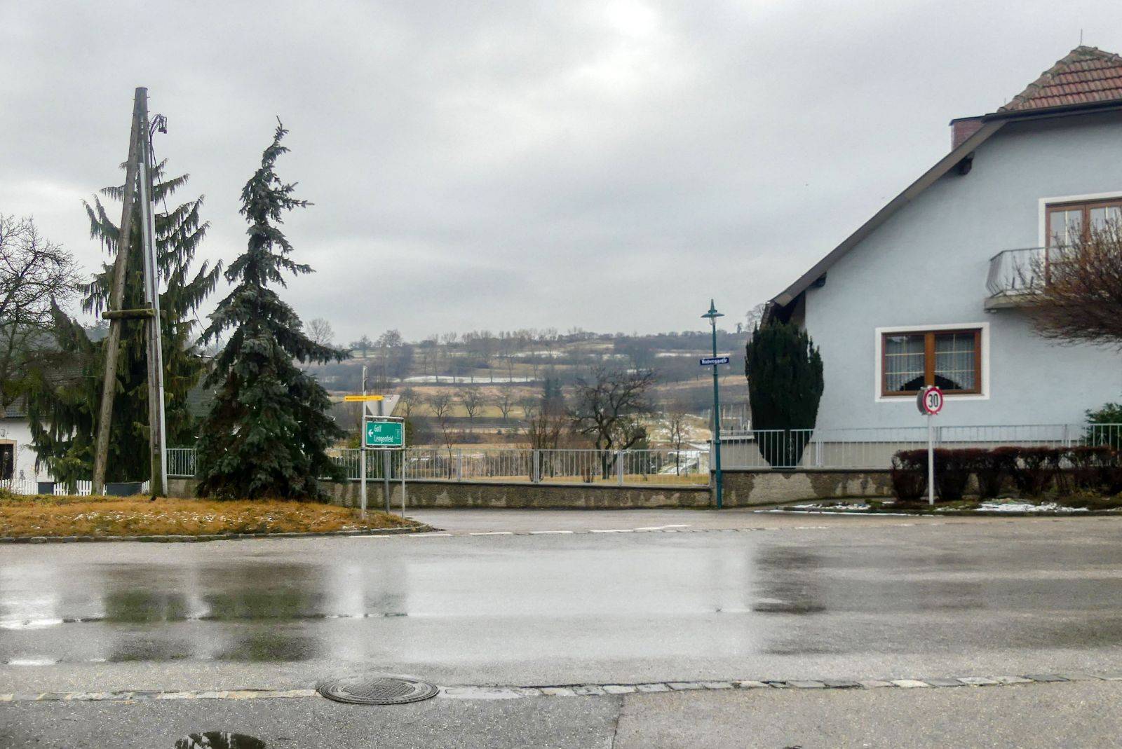
Finally you will come to the "Langenloiser Straße". Turn right into this street and walk in western direction.
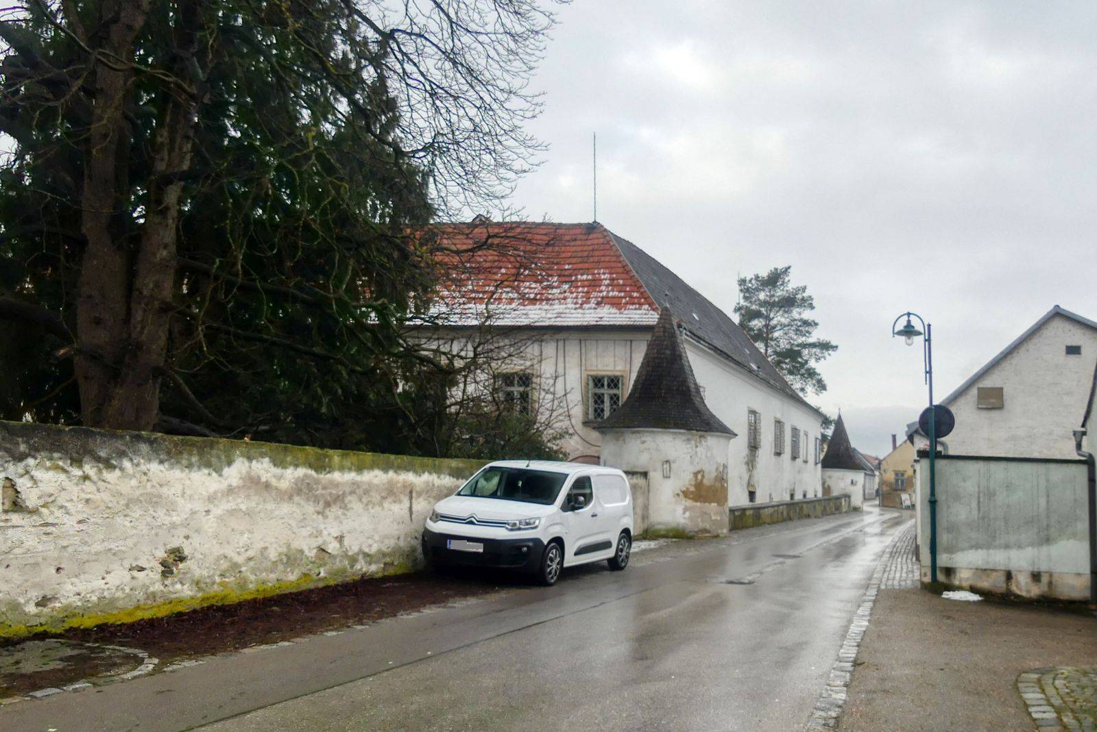
Walk along the old castle of Lengenfeld.
Don't Forget: Get Travel Health Insurance!
To make your trip a worry-free experience, TravelFeed recommends SafetyWing Nomad Insurance. It provides comprehensive health coverage while you travel, so you can focus on exploring, not the unexpected. Get a quote here
Finally you will come back to the municipal office.
The whole hike has a length of 6.7 kilometers and you will need approximately 1 houre and 45 minutes. GPS data can be downloaded from bergfex.at and you can find a detailled description with more images and a map on my blog schmatz.blog.
It is a quite easy hike that offers different road surfaces. I can also recommend this trail for Nordic Walking!
Travel Resources for your trip to Austria
Recommended by TravelFeed
Flights: We recommend checking Kiwi.com to find the best and cheapest flights to Austria.
Accomodation: Explore the best places to stay in Austria on Booking.com, Agoda and Hostelworld.
Travel Insurance: Medical emergencies abroad can be pricey, but travel health insurance is not. We always use SafetyWing for affordable and reliable coverage.
Car Rental: For hassle-free car hiring, DiscoverCars is our trusted choice with a wide selection of vehicles.
Internet: Got an eSIM compatible phone? Airalo is perfect for reliable internet access during your trip. Just install it before you go, and you're set!
Day Trips & Tours: We recommend GetYourGuide for a variety of well-organized and enjoyable activities.
Travel Planner: Need a hand planning? Our free travel planner chatbot is your personal guide to Austria. Chat now.
Disclosure: Posts on TravelFeed may contain affiliate links. See affiliate disclosure.
