
"tut gut" is an initiative started by the government of Lower Austria with the aim to support the health and well-being of the citizens. One of the actions of this initiatives is helping municipalities to create and promote hiking trails.
Until now, a total of 72 municipalities created hiking trails. The average municipality created three routes. The shortest of them is usually around 1 hour long, for the longest route you might need three or four hours.
I decided to walk some of these "tut gut" hiking trails in municipalities in the vicinity of my home town during autumn and winter.
The first hike took me to an interesting place with a macabre history. It is the route no. 4 in the municipality of Grafenegg that leads to the "Fünfeckiger Stein" ("pentagonal column").
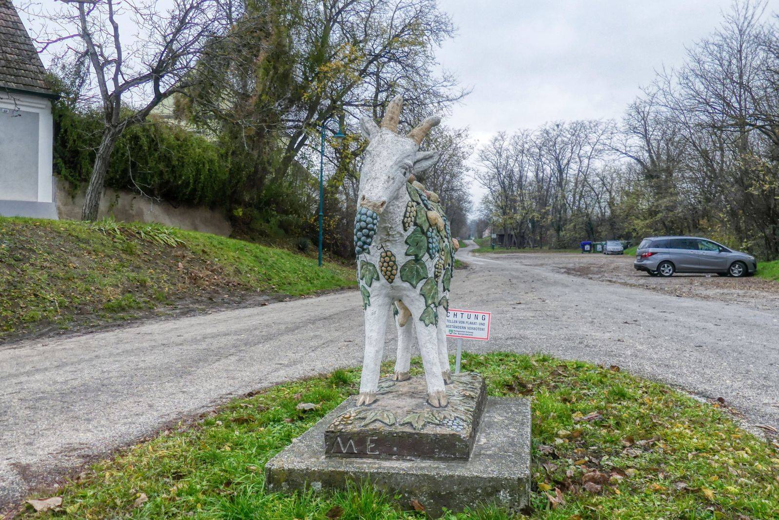
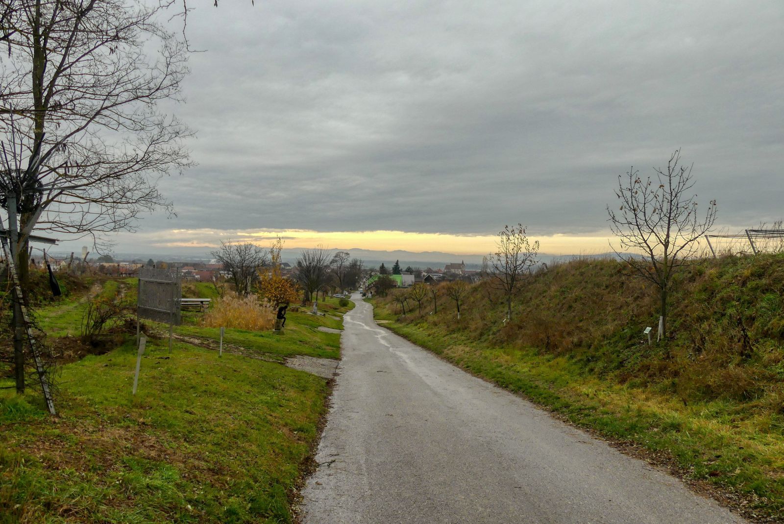
The hike starts at the parking at the "Weinberggeiß" ("vineyard goat") in the cellar alley "In der Trift" in Etsdorf am Kamp, a catastral community that belongs to the municipality of Grafenegg. The statue of a goat decorated with grapes is a symbol of fruitfulness. At the parking you can find a big information board with a map of all hiking trails and a box with free printed maps.
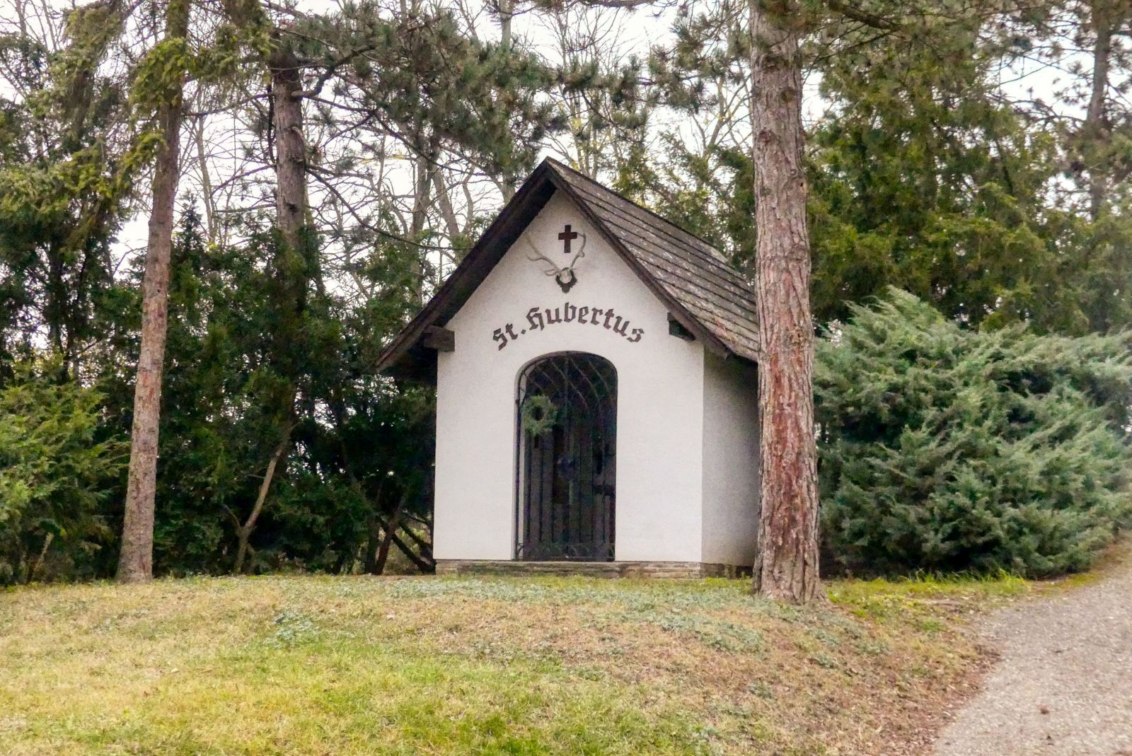
After 15 minutes you will reach St. Hubertus' chapel. Saint Hubertus is the patron saint of hunters. Therefore, you can find small chapels sacrified to Saint Hubertus in many forests in Austria.
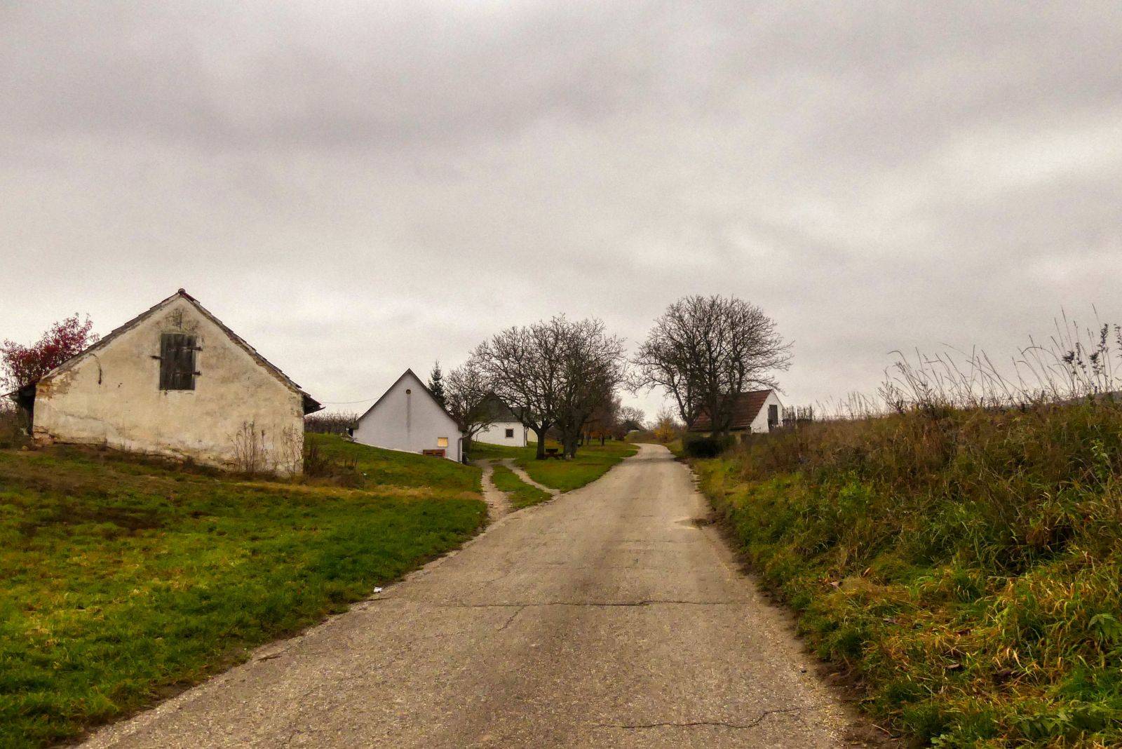
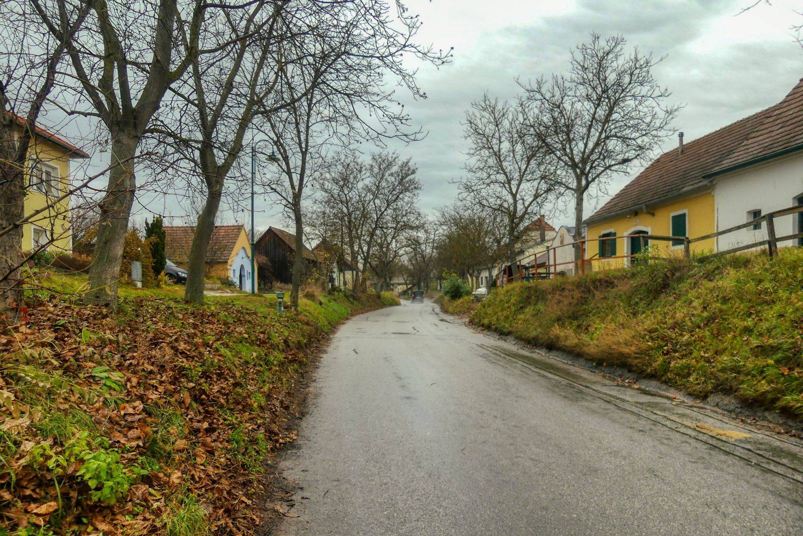
Again 10 minutes later, you pass some wine cellars.

Then you come to a triangular crossing with a tree and a small wayside shrine in the middle. There you take the left path.
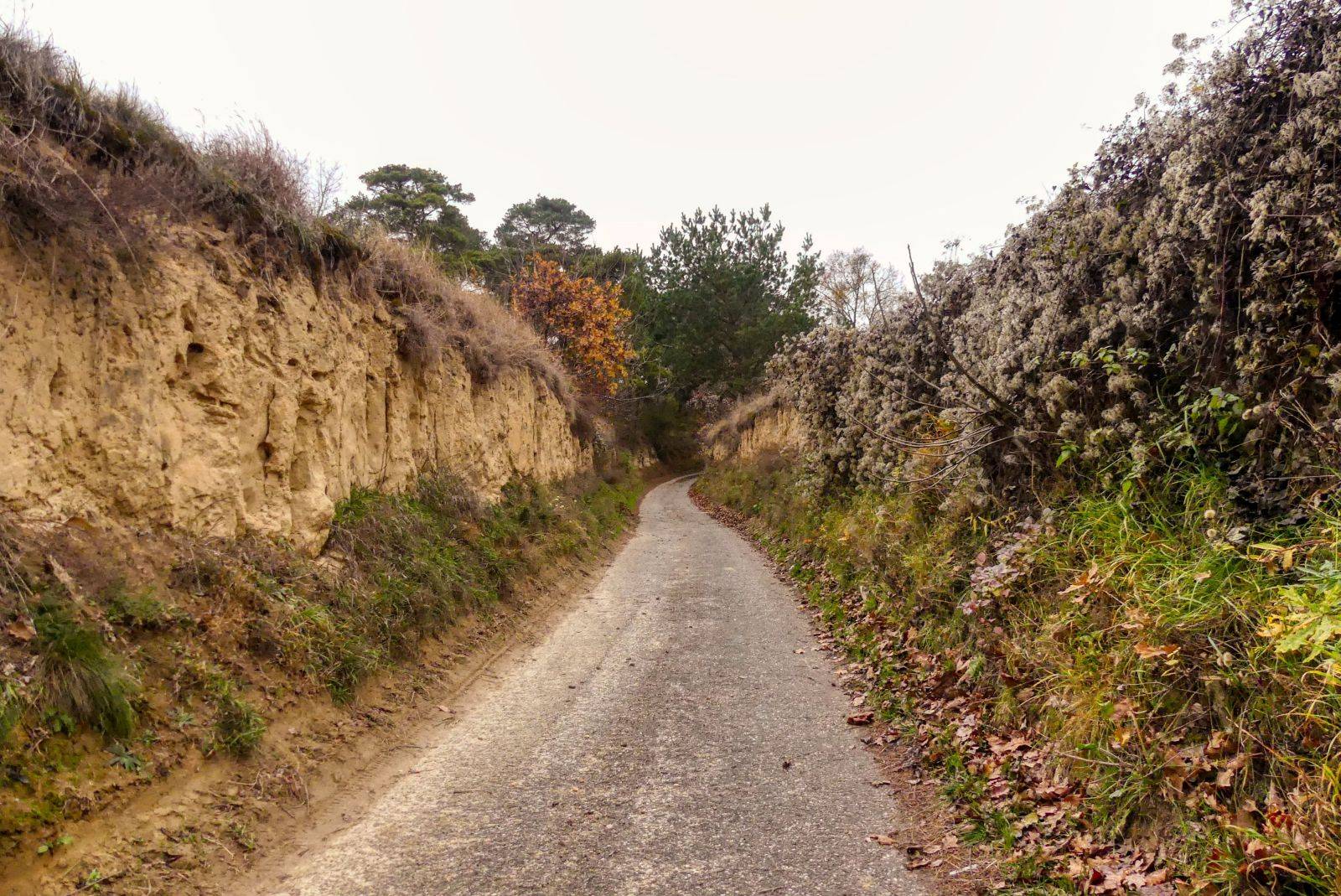
This path leads to the "Wolfsgruben" ("wolfs ditch"), a hollow way through the vineyards.
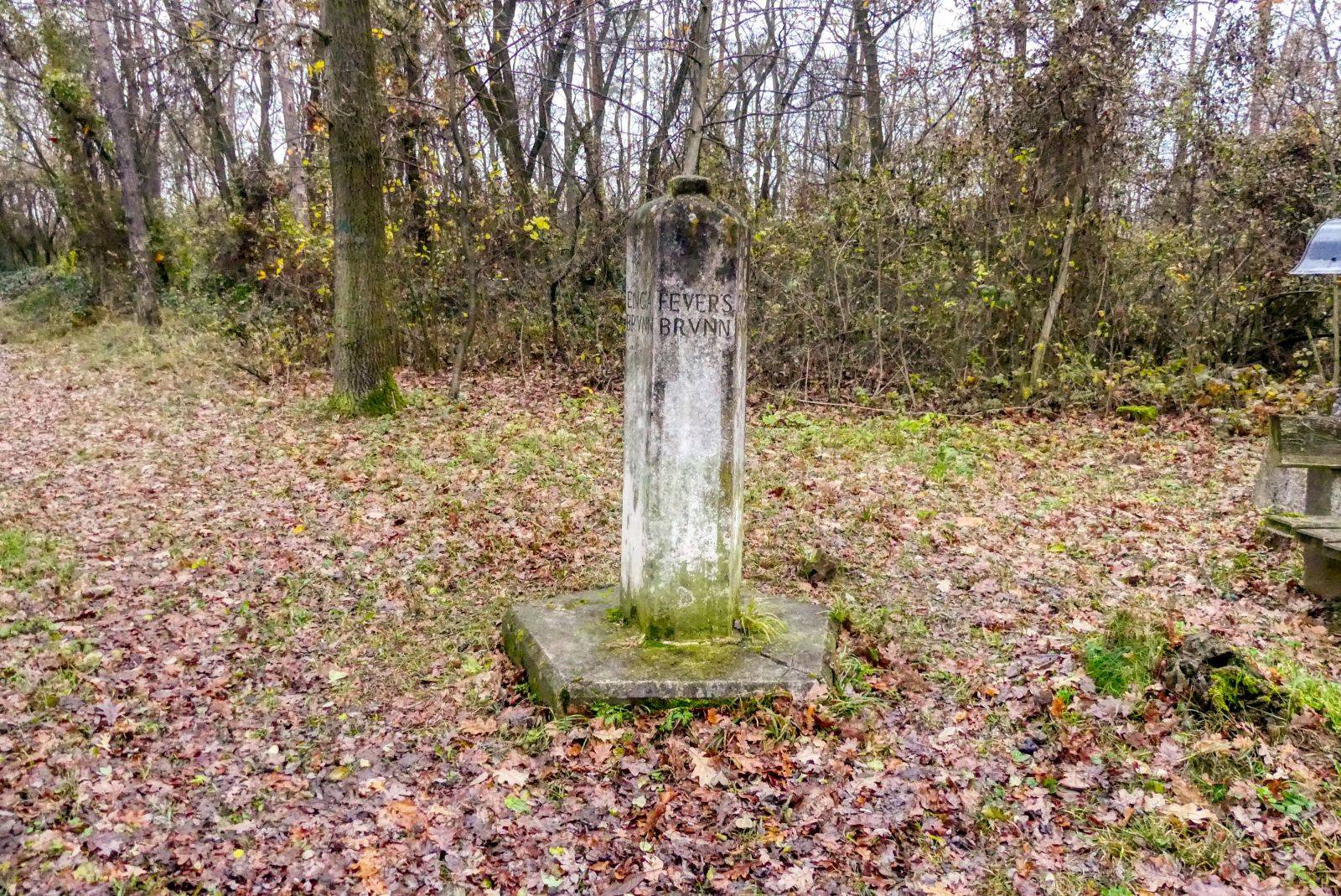
Finally you reach the destination of this hike. The "Fünfeckiger Stein", a pentagonal pillar that indicates the border of five cadastral communities, four municipality and two districts:
- Feuersbrunn (municipality of Grafenwörth, district of Tulln)
- Gösing (municipality of Fels am Wagram, district of Tulln)
- Straß im Straßertale (municipality of Straß im Straßertale, district of Krems)
- Etsdorf am Kamp (municipality of Grafenegg, district of Krems)
- Engabrunn (municipality of Grafenegg, district of Krems)
On February 17, 1676 two men, Lorenz Altmann and his son, have been found murdered at this place. It was not clear in which of the five communities they have been murdered and none of the five municipalities wanted to be responsible for the investigation of this case. So it was decided to erect this pentagonal column so that the borders of the communities are clearly visible. The column was inaugurated on May 14, 1678.
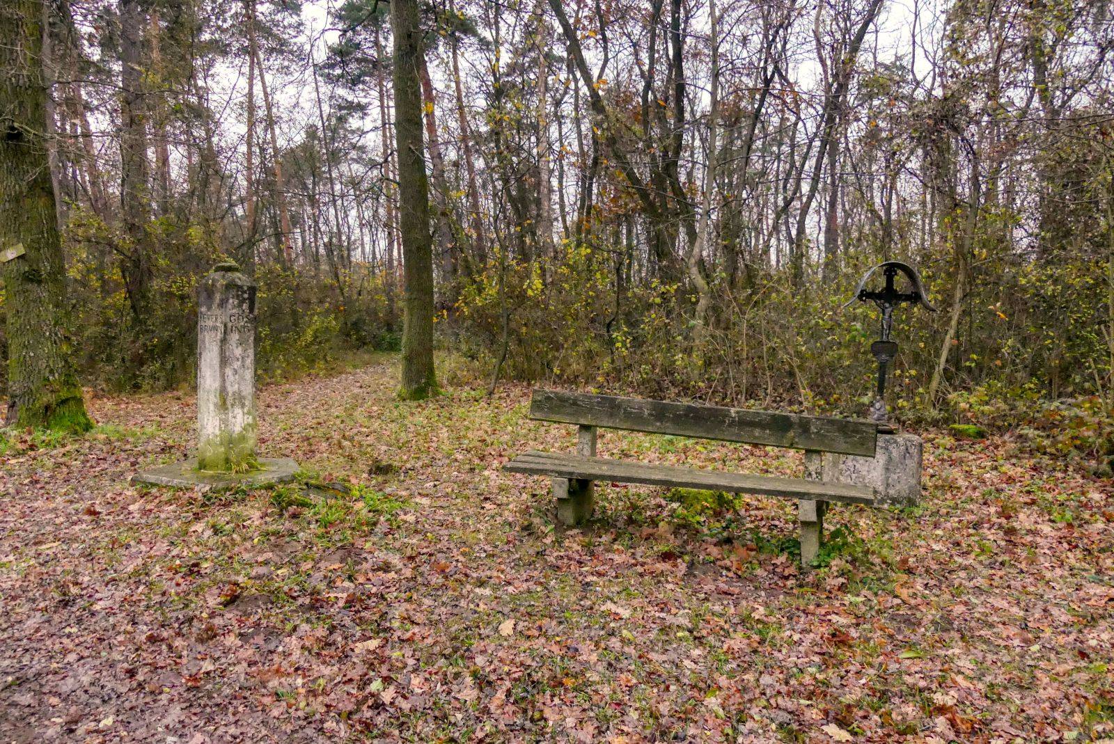
Next to the column you see the "Pichlerkreuz", an iron cross that used to be mounted on the column before. It is said that someone once hanged himself on this cross.
You walk back the same way for some minutes but then turn left.
You cross again the triangular junction and turn left and take a different way again.
Later, you come to the "Weg des guten Gesprächs" ("way of good talks") and the "Skulpturenriede" - I have already described them in a story that I published on Steemit respectively on TravelFeed.
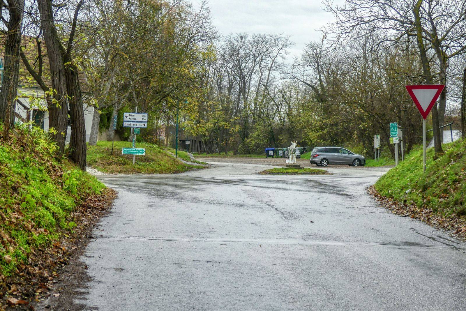
This street leads to the community of Engabrunn.

Ready to Blog & Earn?
With TravelFeed, easily start your own travel blog and earn as you go. It's the smart platform for travelers who want to profit from their passion. Create a free account
You walk through the village, along the medieval church and lateley underpass the bypass road B34.
You will then walk a street that's parallel to the B34 and finally reach the cellar alley that you follow to the north.
After underpassing the B34 again you reach the starting point of this tour.
Don't Forget: Get Travel Health Insurance!
To make your trip a worry-free experience, TravelFeed recommends SafetyWing Nomad Insurance. It provides comprehensive health coverage while you travel, so you can focus on exploring, not the unexpected. Get a quote here
The description of the hiking trails said that you need about 2 hours and 45 minutes, I needed about 2 hours and 15 minutes.
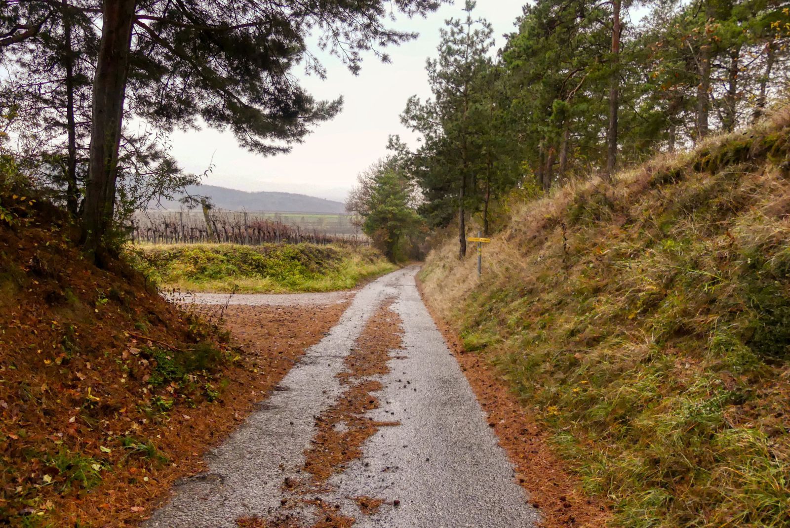
Almost the whole route is asphalted and not very steep. It is great for nordic walking and you can also go by bike easily.
A detailled German description with more photos and a map can be found on my weblog schmatz.blog.
The "official" description can be found on wanderwege.noetutgut.at: Choose "Waldviertel", the "Grafenegg" and finally "Route 4"!
Travel Resources for your trip to Austria
Recommended by TravelFeed
Flights: We recommend checking Kiwi.com to find the best and cheapest flights to Austria.
Accomodation: Explore the best places to stay in Austria on Booking.com, Agoda and Hostelworld.
Travel Insurance: Medical emergencies abroad can be pricey, but travel health insurance is not. We always use SafetyWing for affordable and reliable coverage.
Car Rental: For hassle-free car hiring, DiscoverCars is our trusted choice with a wide selection of vehicles.
Internet: Got an eSIM compatible phone? Airalo is perfect for reliable internet access during your trip. Just install it before you go, and you're set!
Day Trips & Tours: We recommend GetYourGuide for a variety of well-organized and enjoyable activities.
Travel Planner: Need a hand planning? Our free travel planner chatbot is your personal guide to Austria. Chat now.
Disclosure: Posts on TravelFeed may contain affiliate links. See affiliate disclosure.
