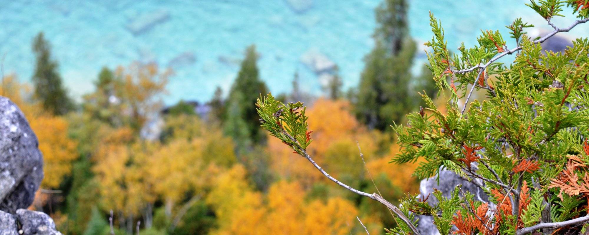
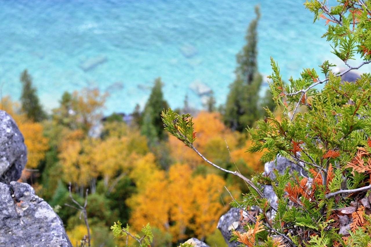
One of the lookout view from the trail (taken using NikonD3200)
I love adventure but I was never a hiking type and I guess am still not after getting lost in those cold woods for sometime .But beautiful pictures of the turquoise water above the limestone cliff lured me into it😁
Last time in the Montreal blog I already told about how difficult it is to find a means of transport off season to tourist place away from the city area. So we decided to jump in when we saw the ad for an organised tour by Park Bus.
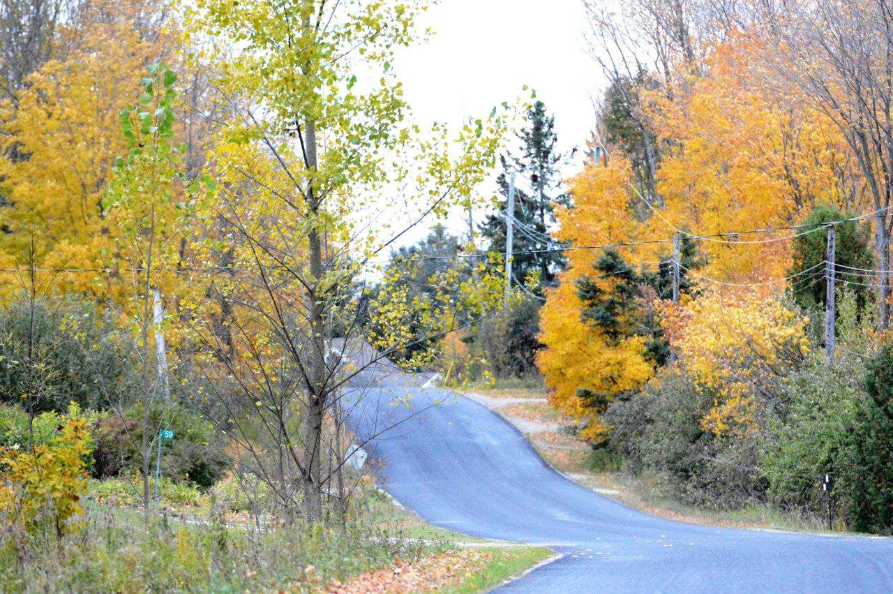
The first thing that I do now a days in the morning is to check the weather and to my horror exactly on the day I decided to go for my first hike there was the first snow flurries of the year. 😼 But luckily the weather at Lion's head was good but a bit windy and no flurries. Check the video I added here to see the transition of snow covered place in between Lion's head town. Weather is crazy at times here.
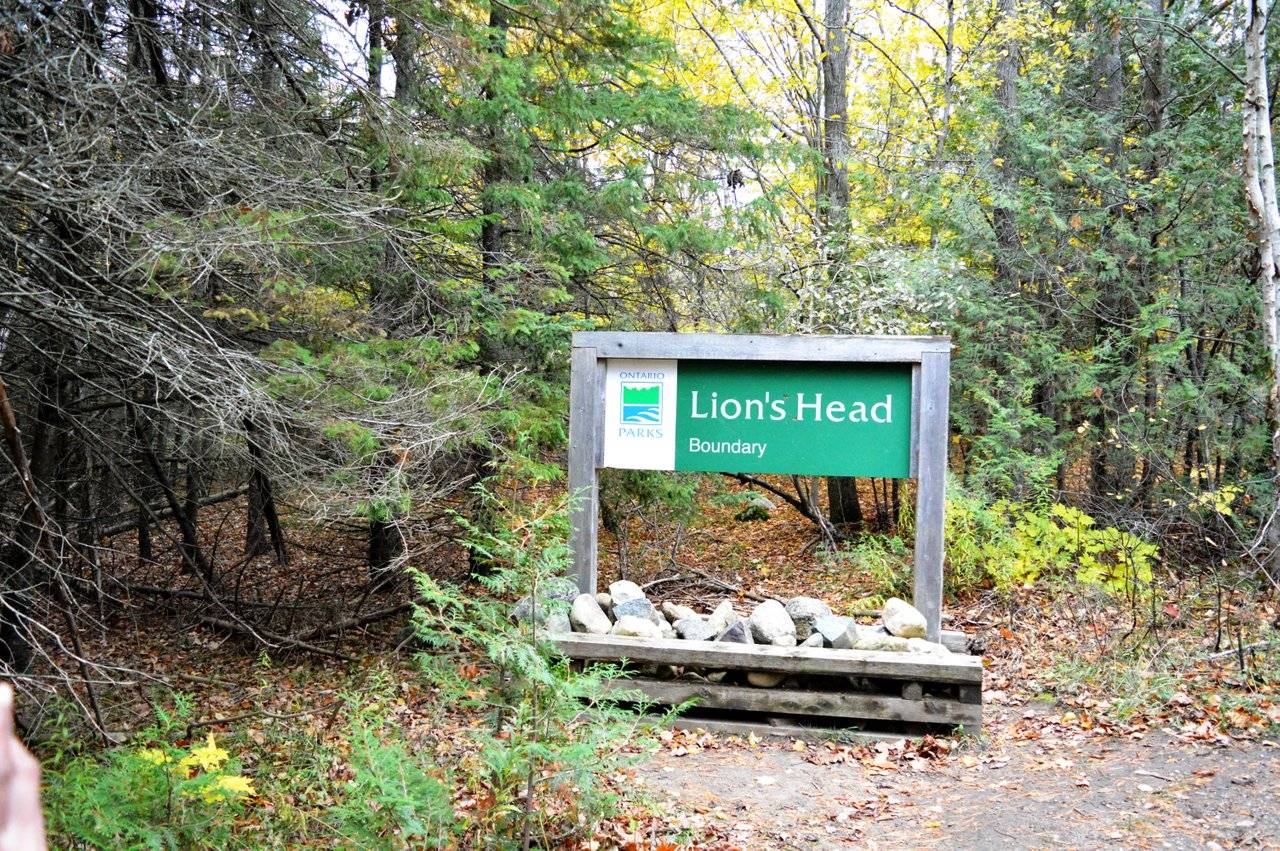
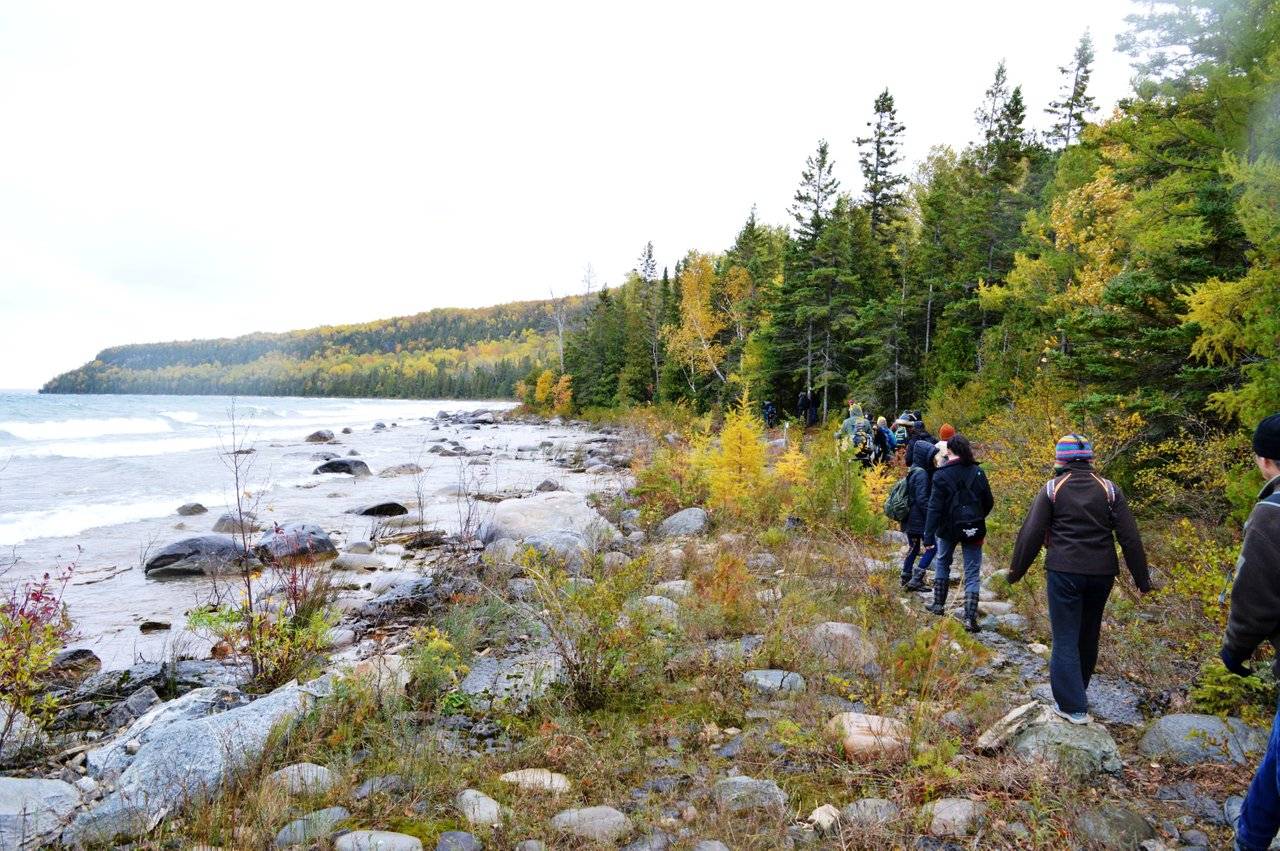
So we had the bus pick up at 6:40am and its a four hour journey from Toronto to Lion's head town. You have to hike through scenic woods of Bruce trail to view the Lion's head. Obviously it got its name as the geological form resembles the head of the lion. It's also a national reserve. Bruce trail is one of Ontario's longest trail that extend from Niagara to Tobermory and have many side trails. Lion's head is one of them. You can decide if you want to take a longer trail or shorter trails. Also we were allowed to hike in group or alone. And they even let us choose the speed in which we want to cover the trail and they had three volunteers. One of them take us on a fast paced longer trail, and another a slower paced short trail and one in between the two.
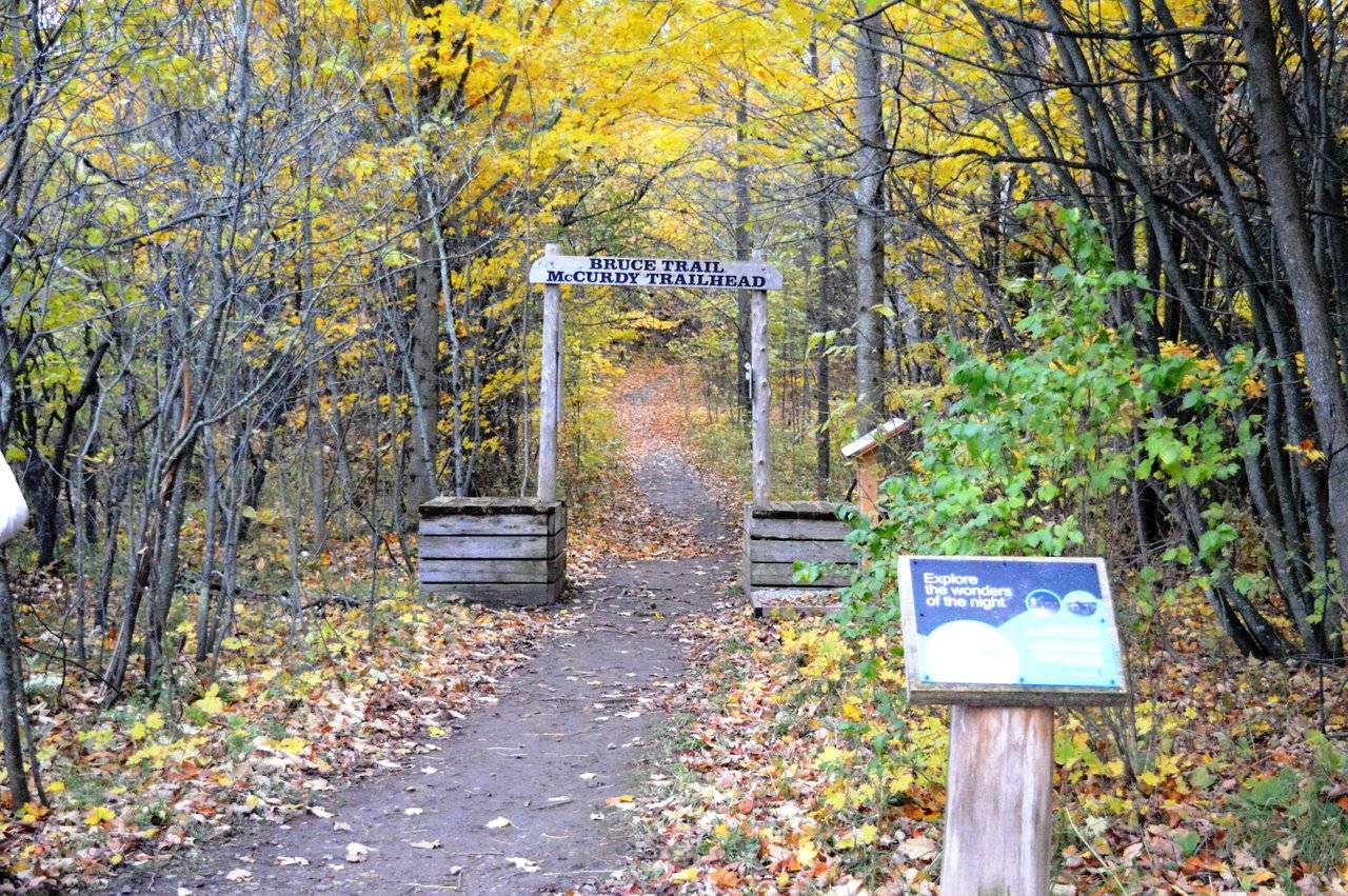
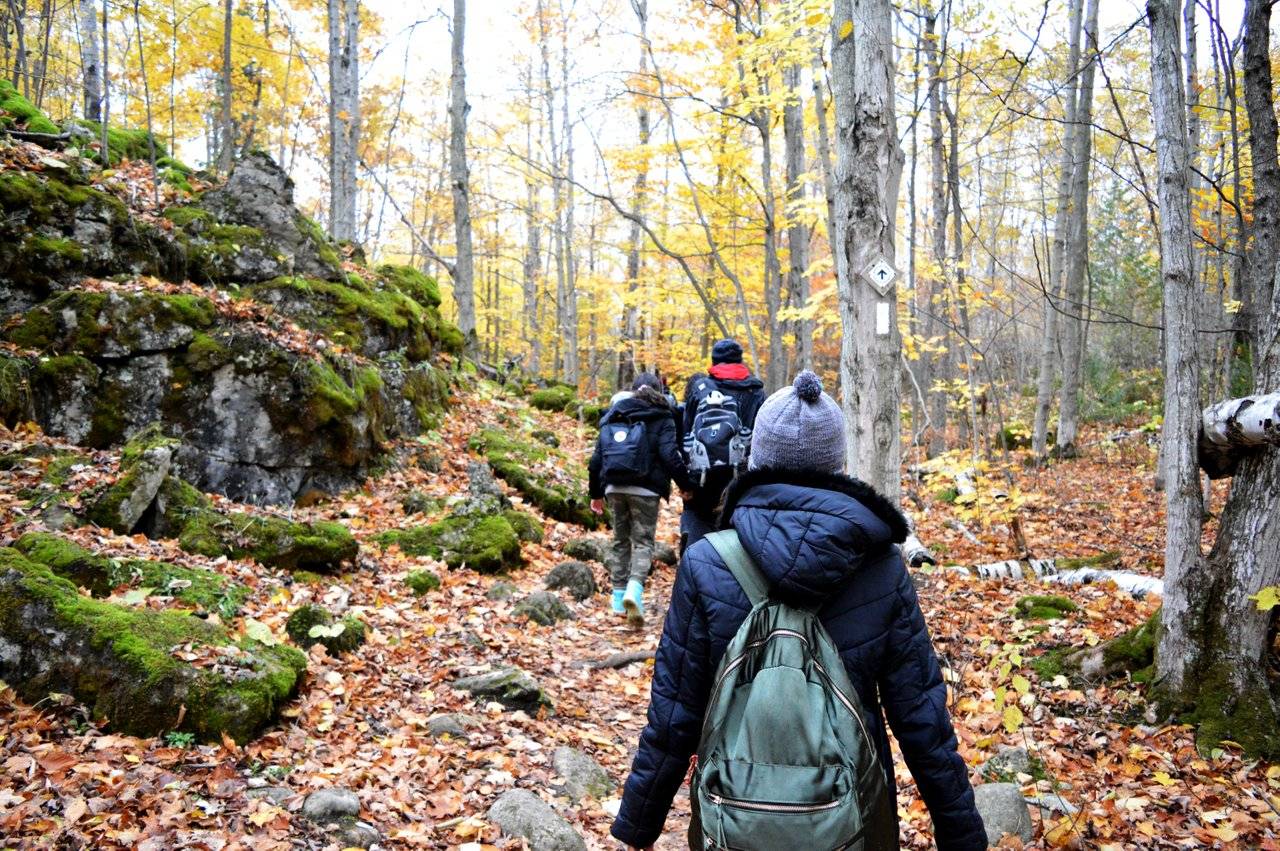
We decided to go a bit slower enjoying all the scenic beauty. The shortest trail was 3.5km. We started hiking by 12pm by the Moore Street entrance. We were to return to a small cafe called Lion's head Inn at 5:15pm were we will be picked up by the bus for return.
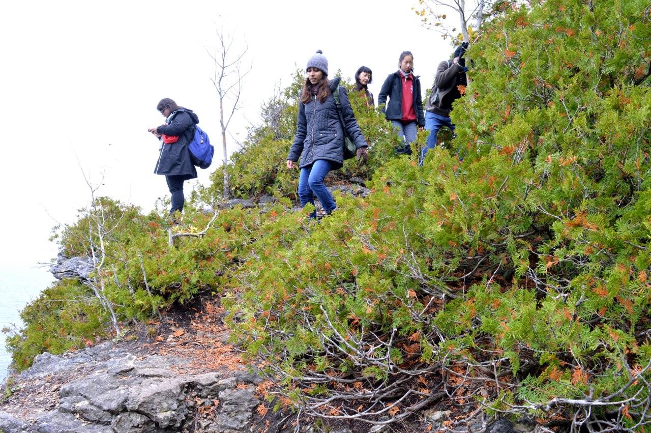
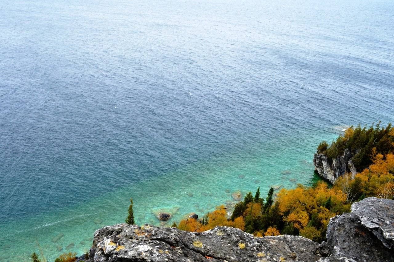
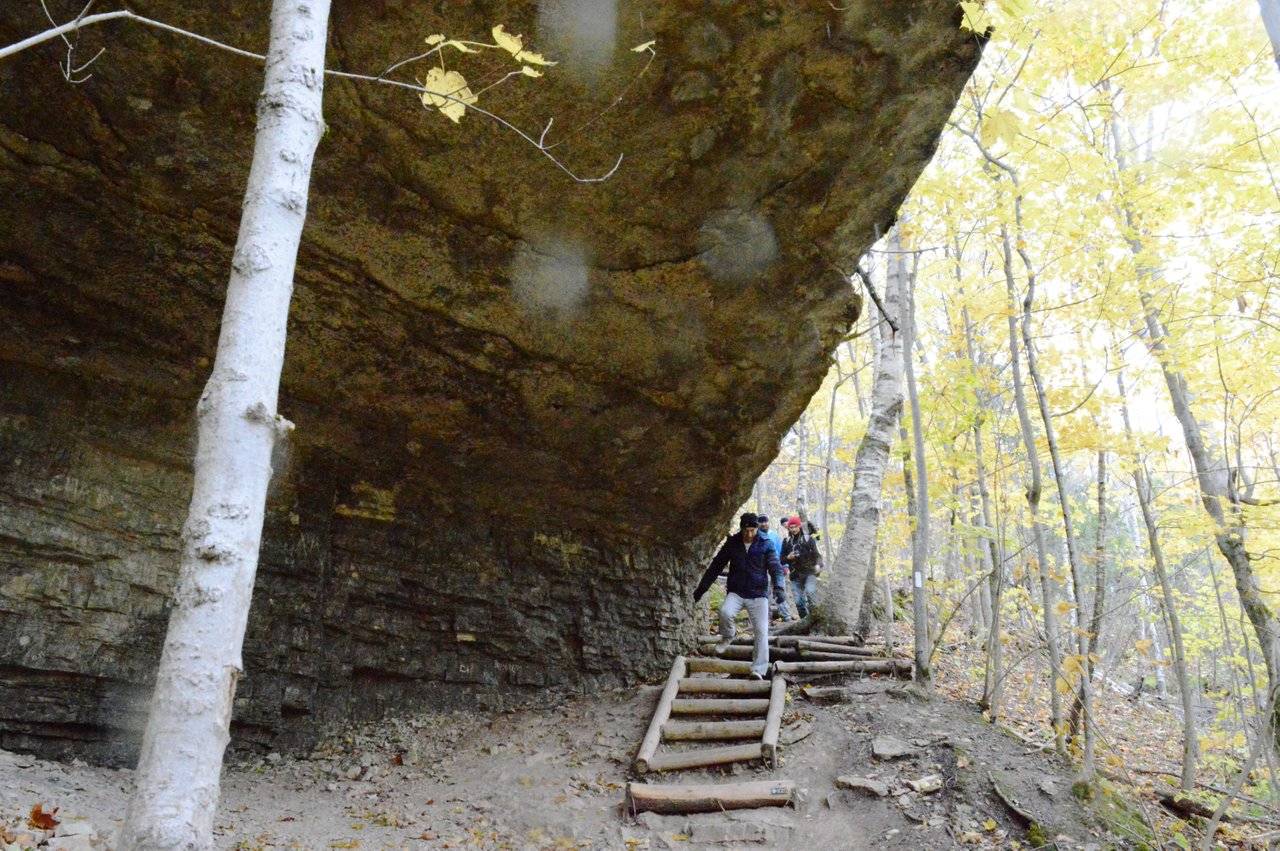
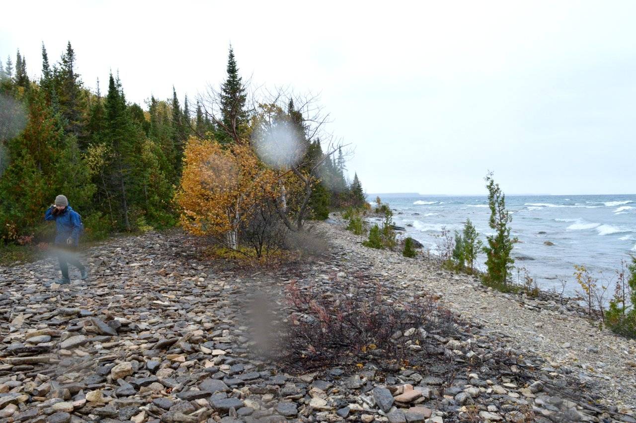
Sometimes the path seemed extremely dangerous like the one above with the steep cliff on one side and the wind tugging us.
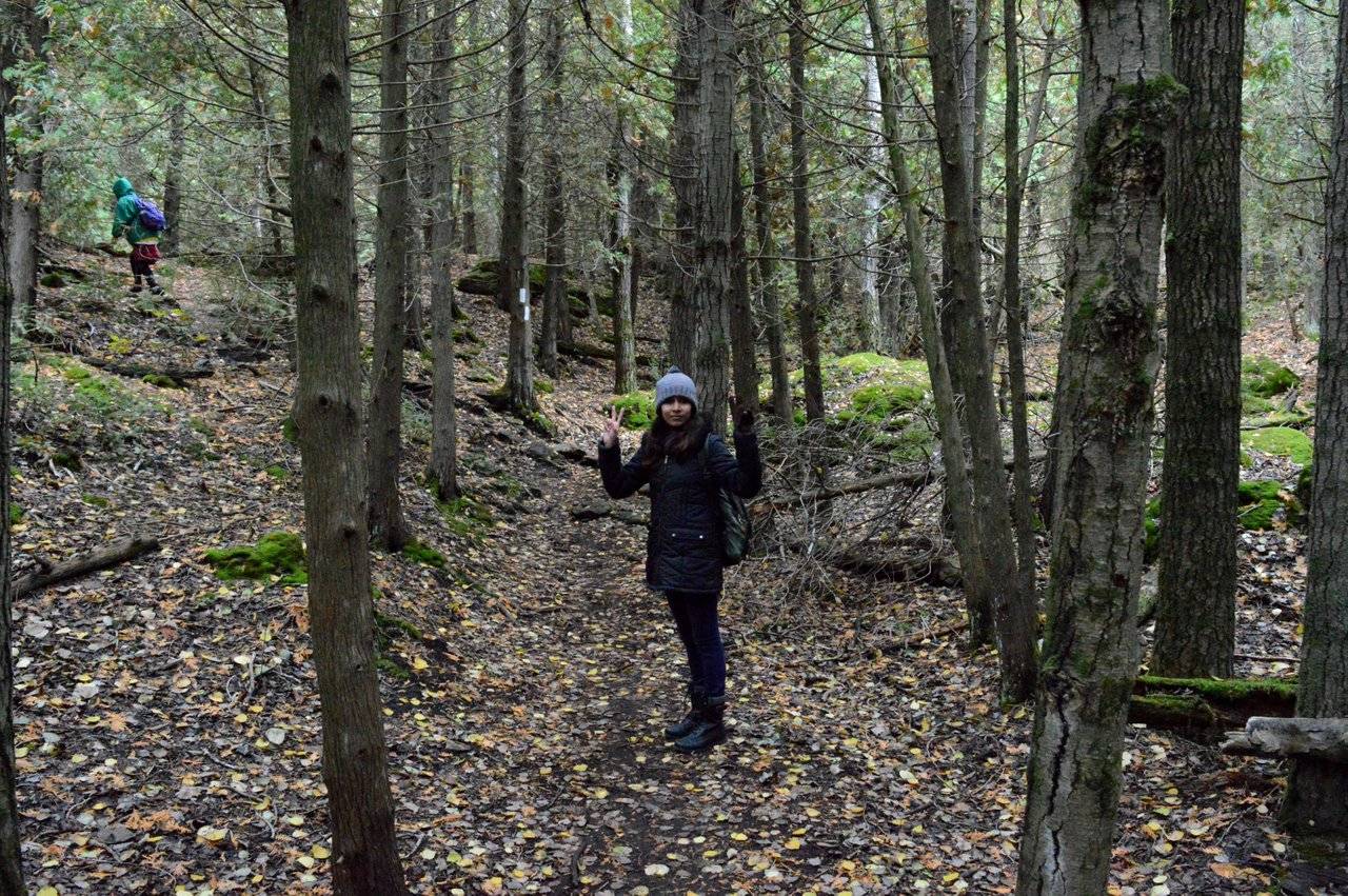
Thats me
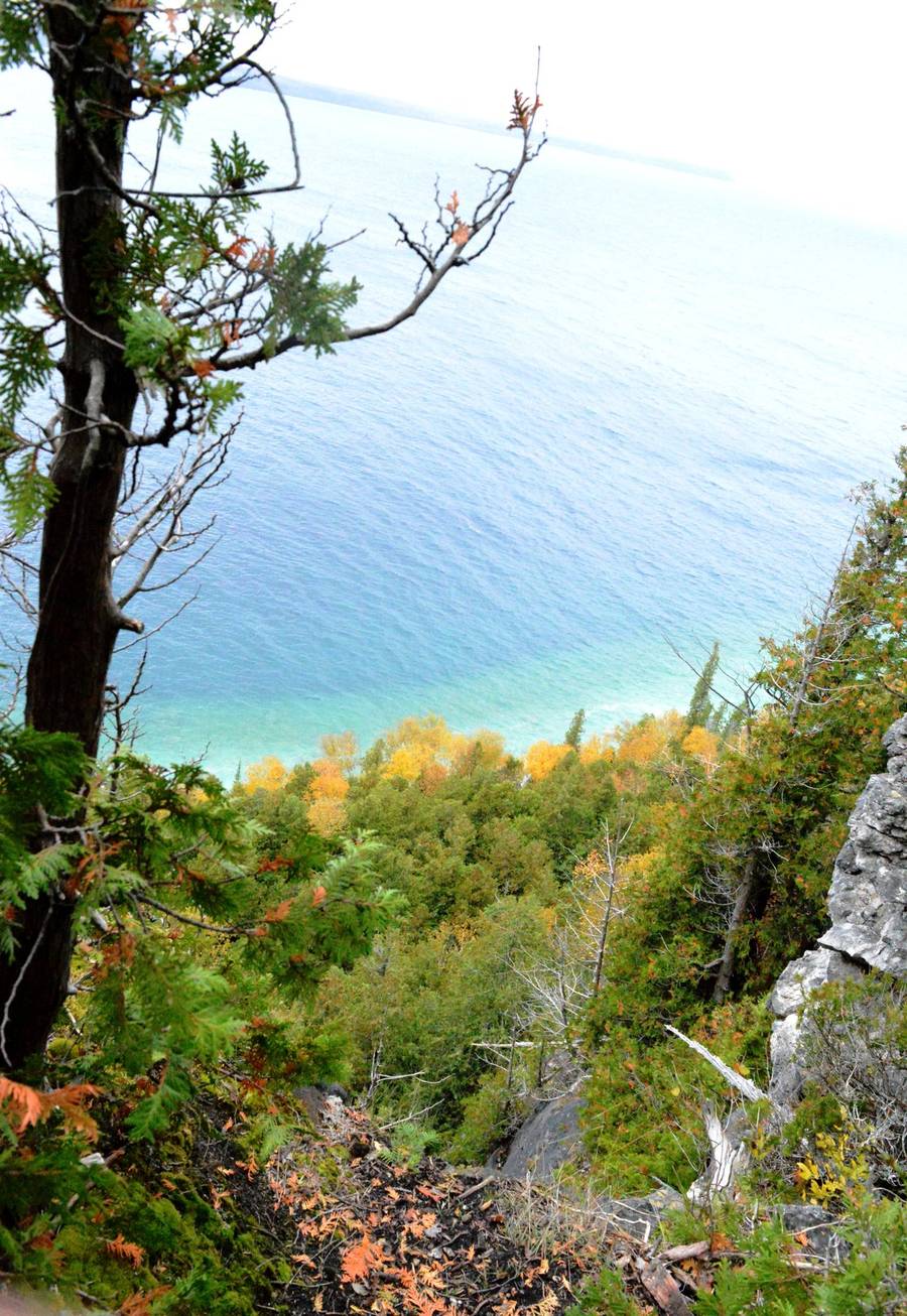
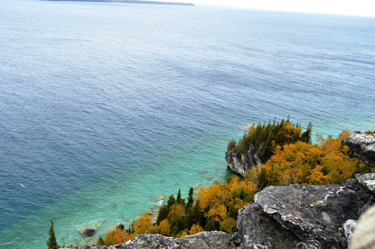
There are many lookout points in between the trails that overlooks the Georgian Bay. It was beautiful. Looked just like a painting from the above.
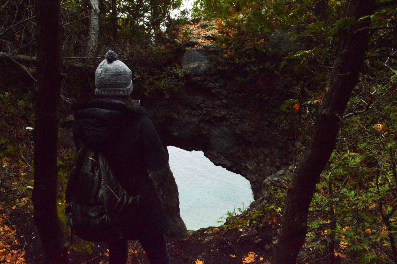
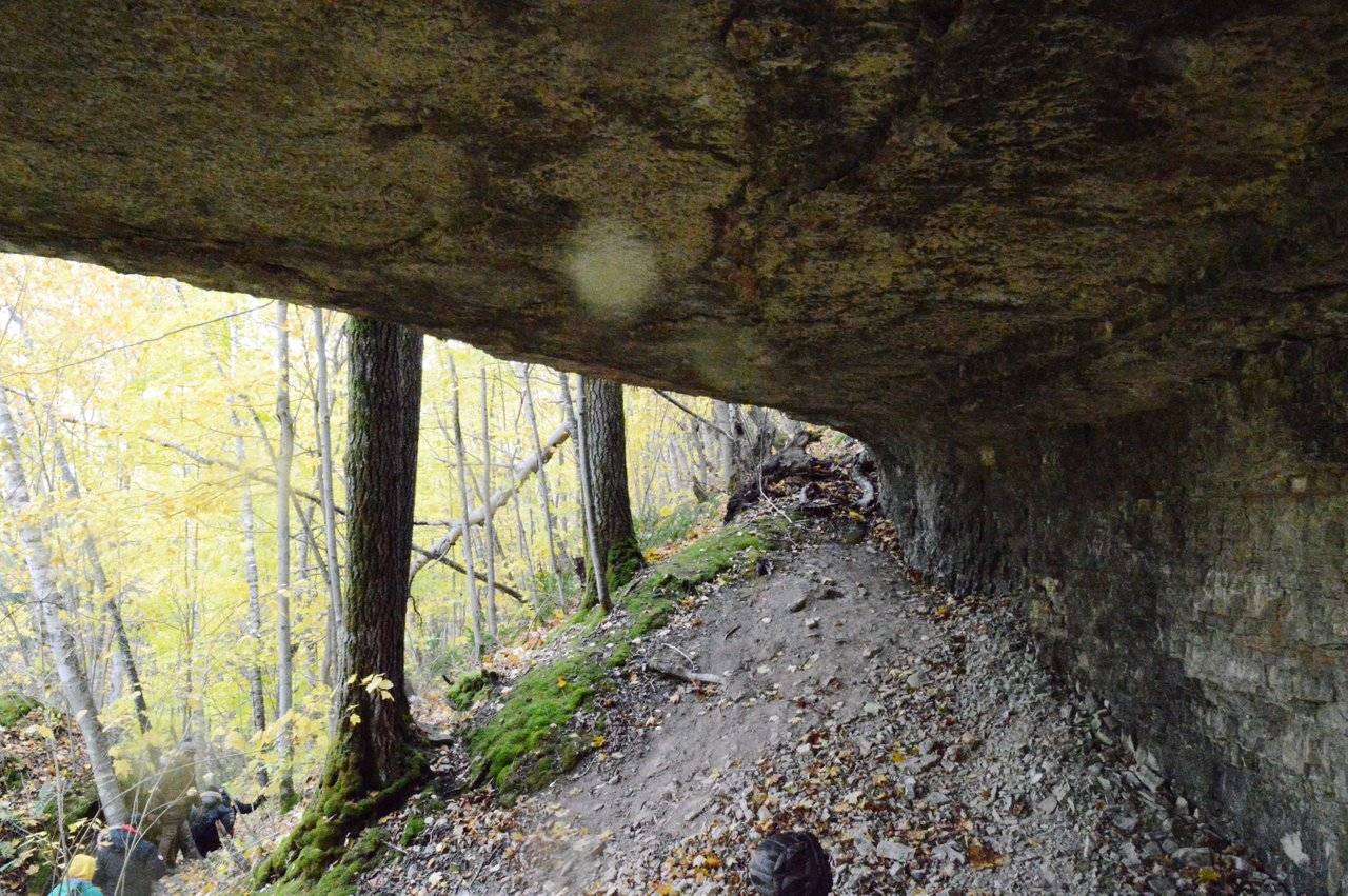
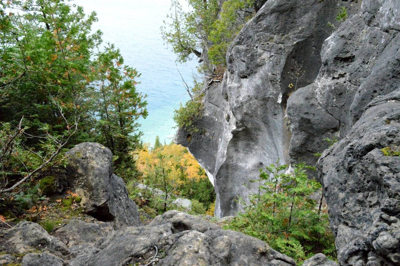
Can you see the hole in the rock which gives you a glimpse of the crystal blue water below. There were many such poth holes in rocks formed by glacial effects.
At one point of the trail we reached to the bottom beach area where it started raining lightly.
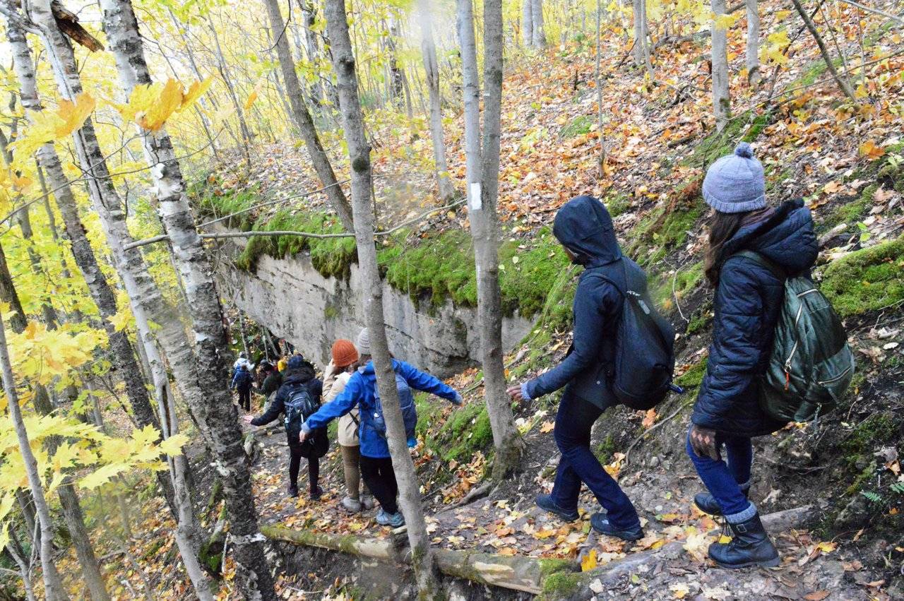
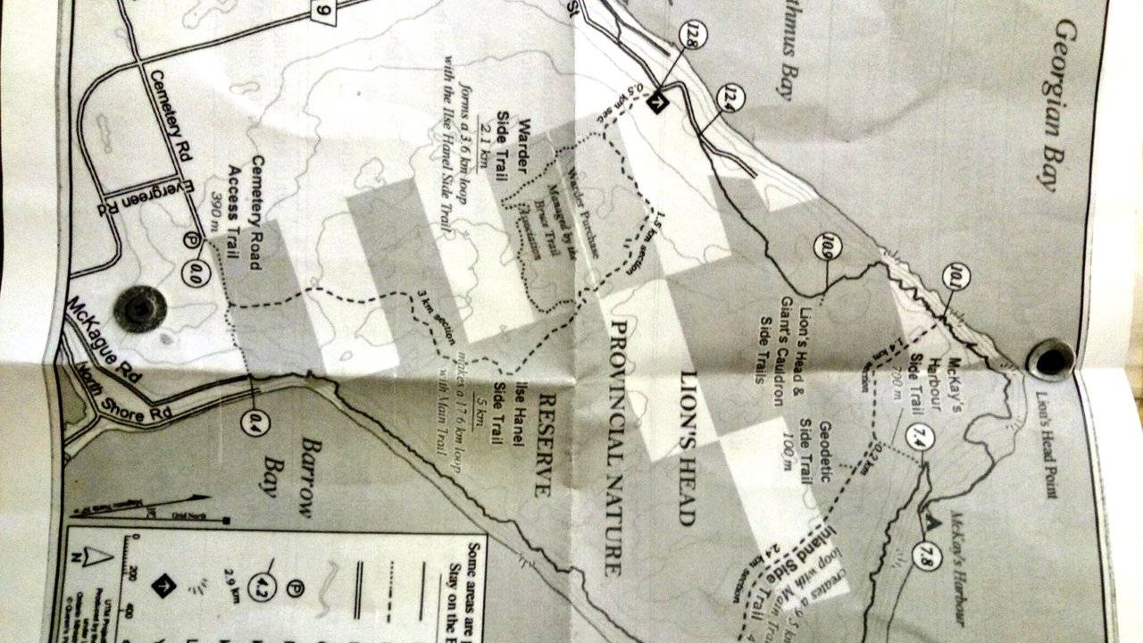
Later we moved from the slow paced group to the fast paced one. It's easy to get lost here with the densely placed trees and the ever curved trail paths. But all the paths are marked by painting trees with white (main trail) and blue (side trails) patches. You just need to follow it. Also they have provided us with a map.(I still had it crushed in one corner of my bag. I am adding a picture of it too😉)
By now there were many sub groups and they were moving forward on their own. We decided to take the Geodetic side trail which leads to halfway between Equator and North pole. The information on the map sadi Lion's head is located on the 45th parallel and exactly between equator and North Pole. We followed the map as well as the tree markings and the small information boards until this happened.
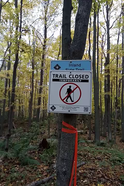
We decided to go backwards and take the trail to the other side. We walked and walked. No one was in vicinity and complete silence. We mixed up the trail and at one point had no idea if we were going forward or backward. I was sure we will get out of the wood somehow and the bus won't not leaving without us but the thought of walking double distance made me exhausted.
After walking a bit we found two ladies who was lost just like us. All the four of us moved together and found the way out finally. The walking was not over yet. It's about 1km on the roads to the cafe we were supposed to be. The other ladies had a car and dropped us to the cafe were a warm pre booked dinner was waiting for us. By the time we reached at around 5 o' clock many groups have returned and were having their meal.
We were asked to bring our lunch to eat in between the trail. Read here to see what happened to our lunch.
The bus came at around 5:45pm. And we were back in the city by 11pm after one hell of a hiking experience.
!steemitworldmap 44.991381 lat -81.258859 long Lion's Head CT d3scr
Here is a short video of clips I took along the trail.
Ready to Blog & Earn?
With TravelFeed, easily start your own travel blog and earn as you go. It's the smart platform for travelers who want to profit from their passion. Create a free account
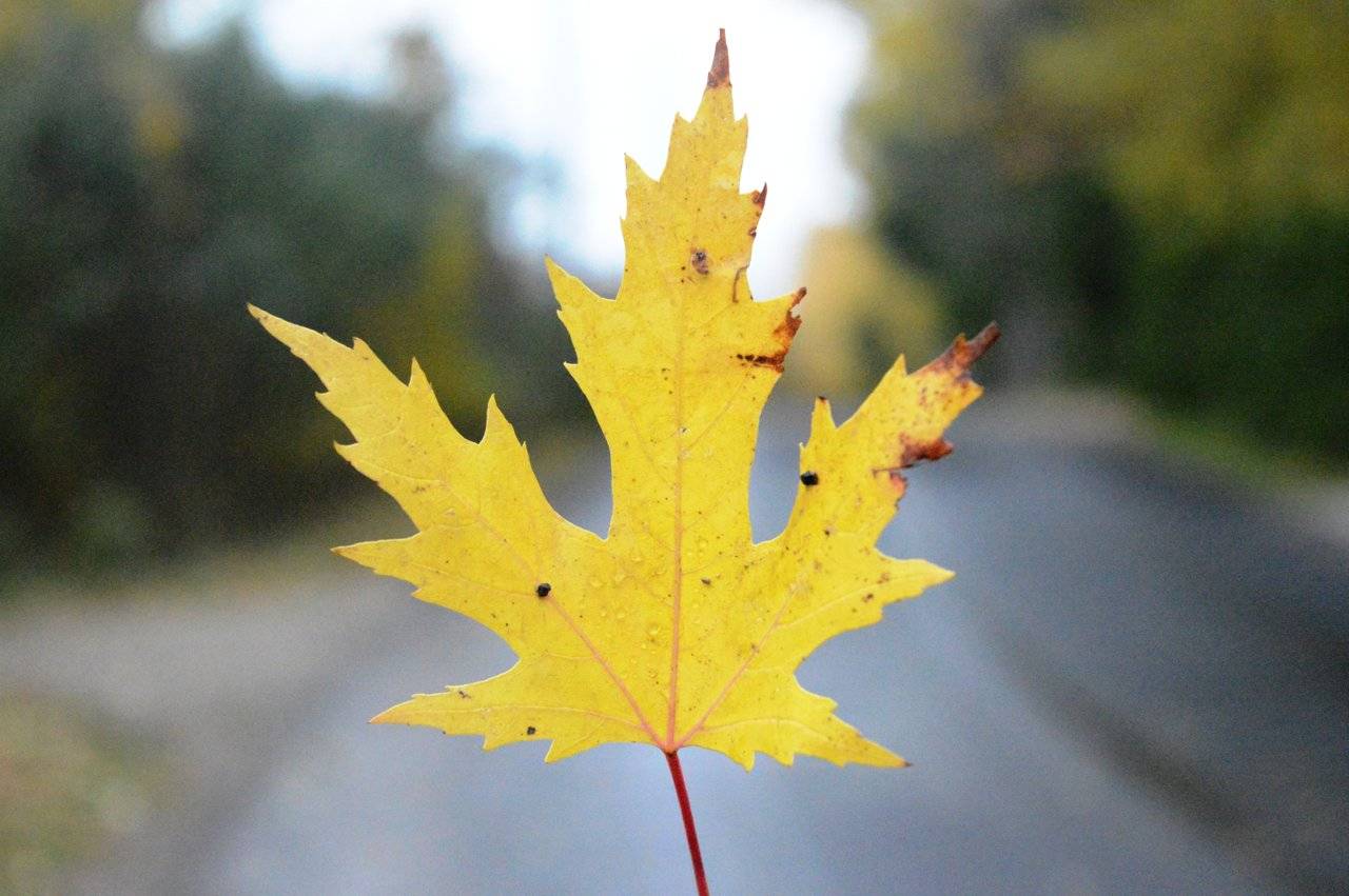
All pictures are mine, taken using NikonD3200
Until next time
@silenteyes
Do read my Montreal Blog here
Don't Forget: Get Travel Health Insurance!
To make your trip a worry-free experience, TravelFeed recommends SafetyWing Nomad Insurance. It provides comprehensive health coverage while you travel, so you can focus on exploring, not the unexpected. Get a quote here
Posted from my blog with SteemPress :http://localhost/wordpress-4.9.8/wordpress/2018/11/07/halfway-between-north-pole-and-the-equator-my-first-hiking-experience-bruce-trail-ontario/
Travel Resources
Recommended by TravelFeed
Flights: We recommend checking Kiwi.com to find the best and cheapest flights .
Accomodation: Find great stays on Booking.com, Agoda and Hostelworld.
Travel Insurance: Medical emergencies abroad can be pricey, but travel health insurance is not. We always use SafetyWing for affordable and reliable coverage.
Car Rental: For hassle-free car hiring, DiscoverCars is our trusted choice with a wide selection of vehicles.
Internet: Got an eSIM compatible phone? Airalo is perfect for reliable internet access during your trip. Just install it before you go, and you're set!
Day Trips & Tours: We recommend GetYourGuide for a variety of well-organized and enjoyable activities.
Travel Planner: Need a hand planning? Our free travel planner chatbot is your personal guide. Chat now.
Disclosure: Posts on TravelFeed may contain affiliate links. See affiliate disclosure.
