It was time for me to take on one of the big boys, or at least the local ones. @bingbabe climbed all three of the Yorkshire Three Peaks just two weeks ago and I had yet to do a single one.
Source
This was to change, and seeing as iFootpath has a walk named ‘Climbing Ingleborough’ which incidentally is one of the three I thought I would have a go.
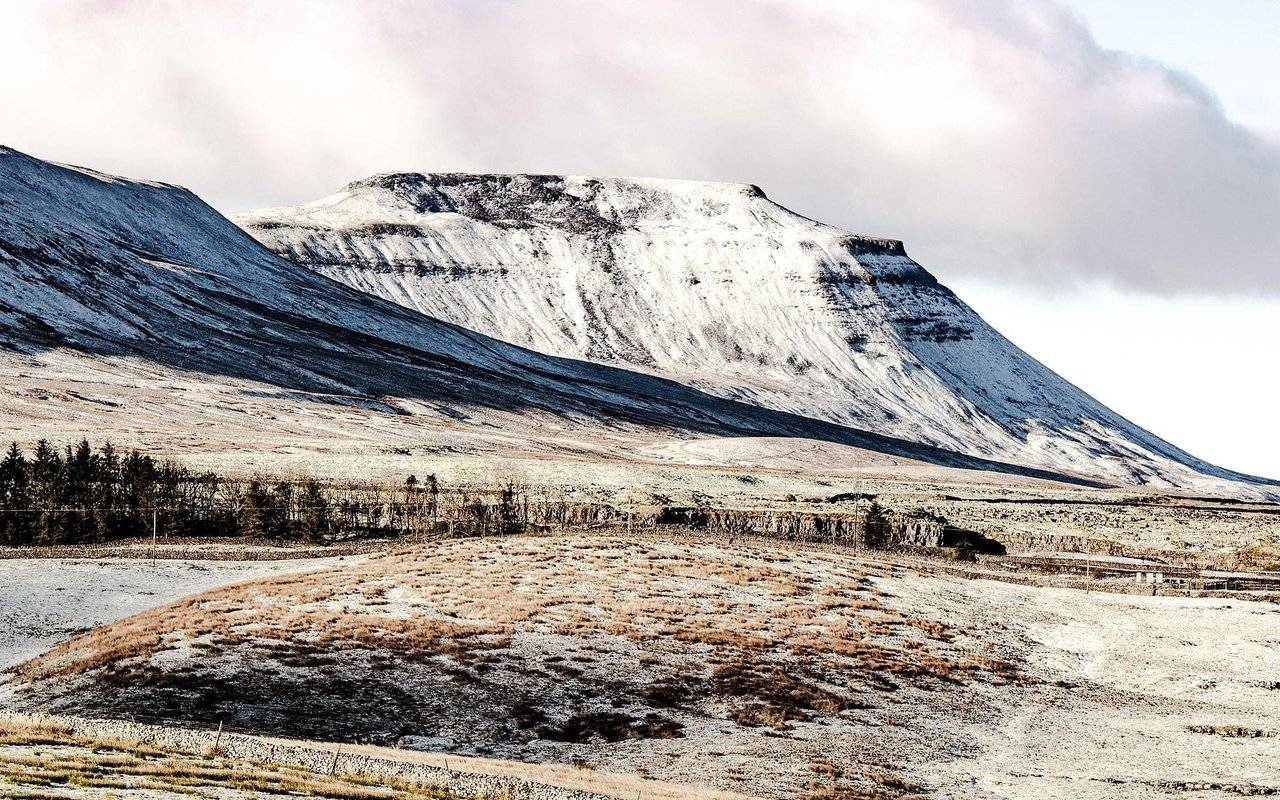
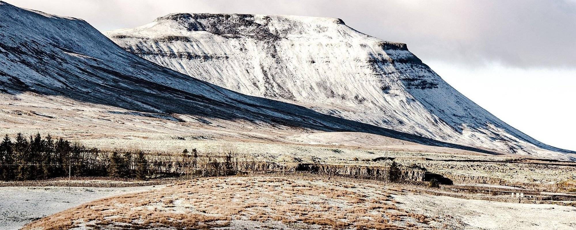
Ingleborough (723 m or 2,372 ft) is the second-highest mountain in the Yorkshire Dales. It is one of the Yorkshire Three Peaks (the other two being Whernside and Pen-y-ghent), and is frequently climbed as part of the Three Peaks walk.
Last month I had a go at climbing Pen-y-ghent and failed, so it was with great expectations that we set out on yet another gloomy day. Where is the sun when you want it?
So what do you do on a Monday morning; Go to work perhaps? @slobberchops went mountaineering and though Ingleborough didn’t look snowy and formidable like in the cover picture it was still quite a daunting project for me to climb this mountain.
This particular hike is described here.
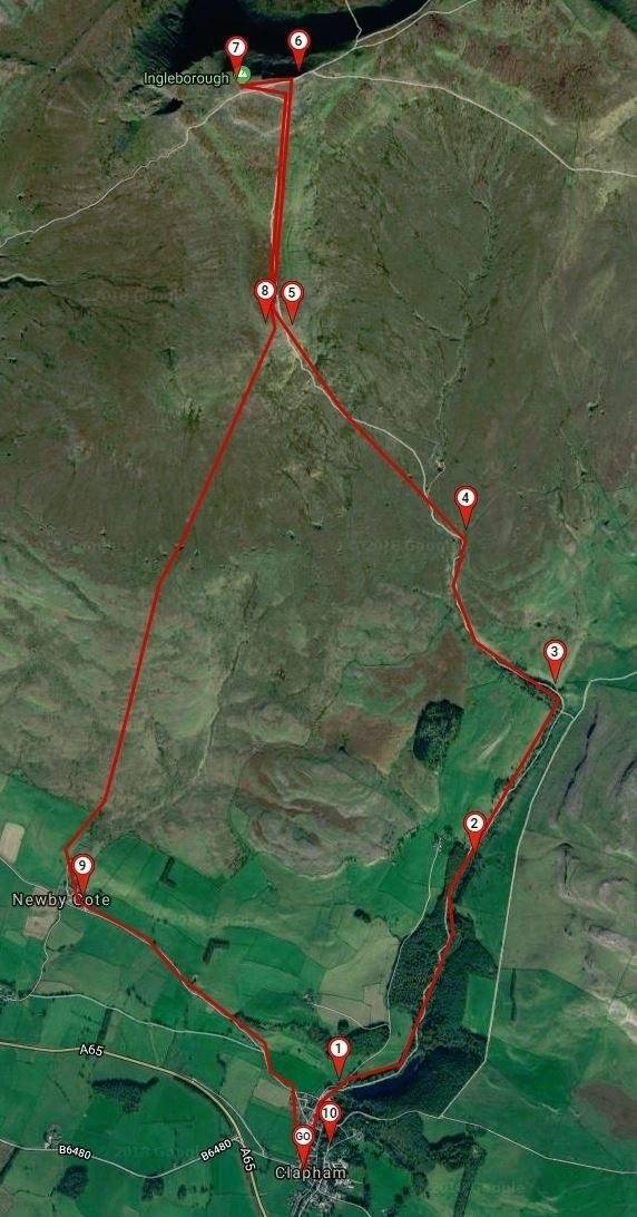
As I have mentioned before, I really don’t like paying to park my car. The walk started in Clapham which is a sleepy village but boasts a massive National Parking paid car park.
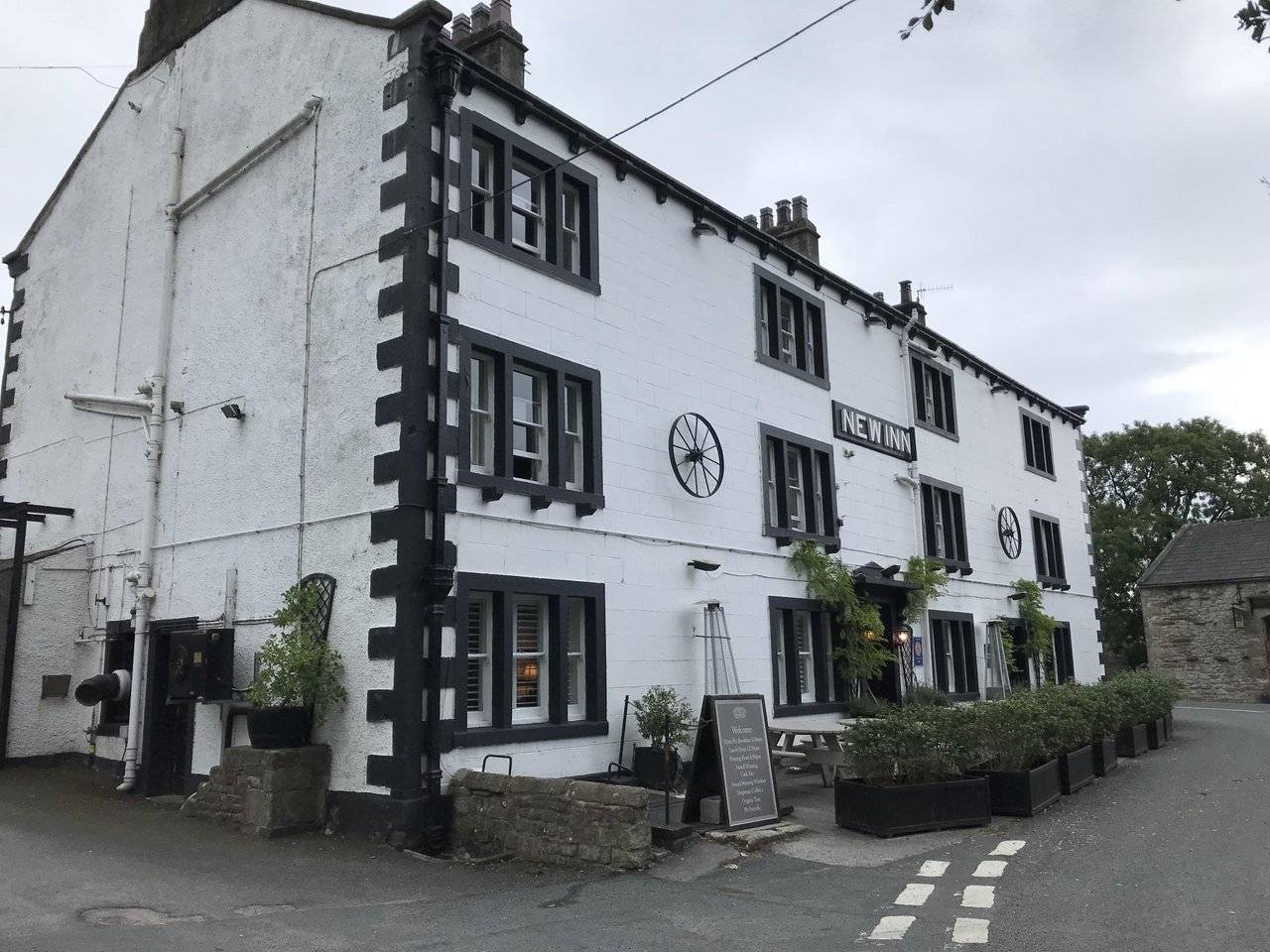
Well I’m not paying the stupid car park fees! We got there quite early and even so there was only a single spot left in the New Inn pub car park, perfect.
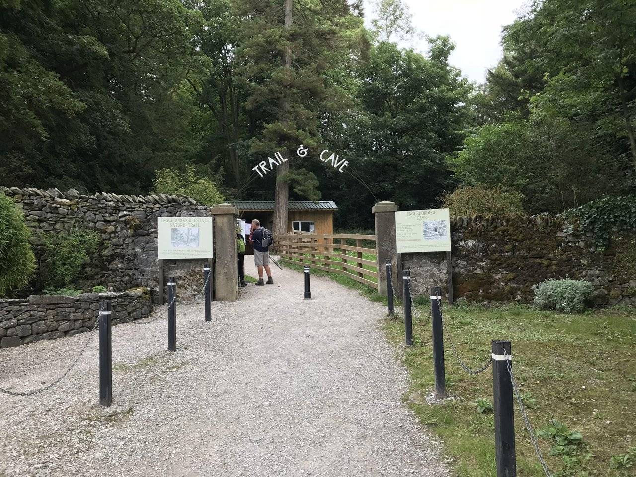
A walk through the village took us up to Ingleborough trail entrance. Some of the houses have been discarded and appear boarded up. Hard times comes to some I suppose.
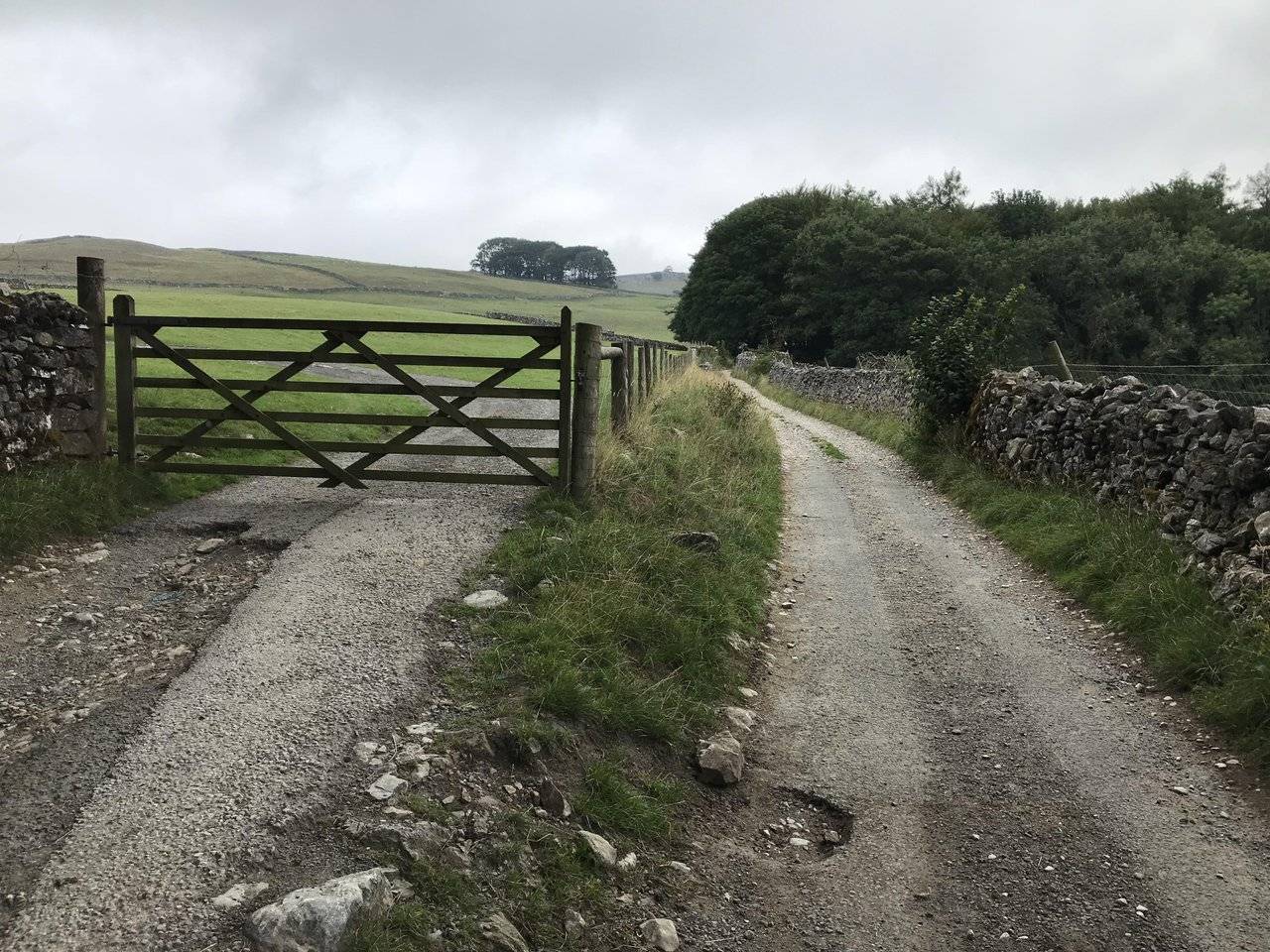
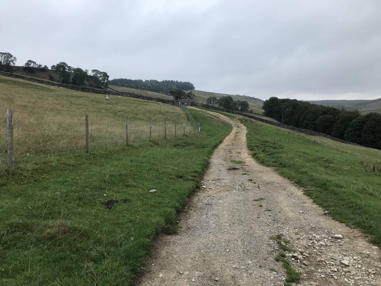
Things went wrong from the start with the map telling us one thing, and common sense another. We avoided the trail only to find ourselves walking up a farm track which was the wrong way, damn this guide.
As a consequence we missed Ingleborough Trail and all its sights. It will be something to revisit in the future I suppose.
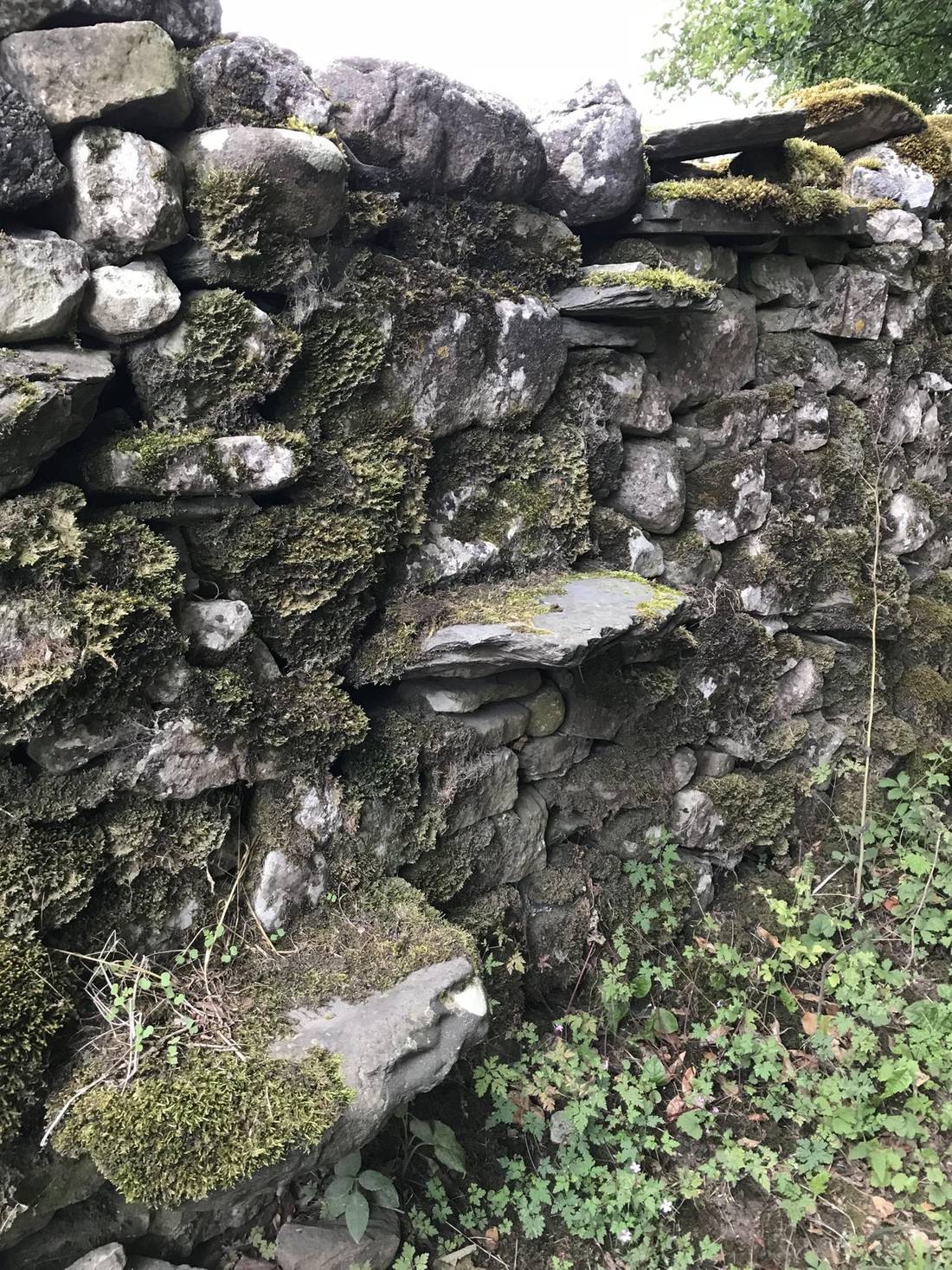
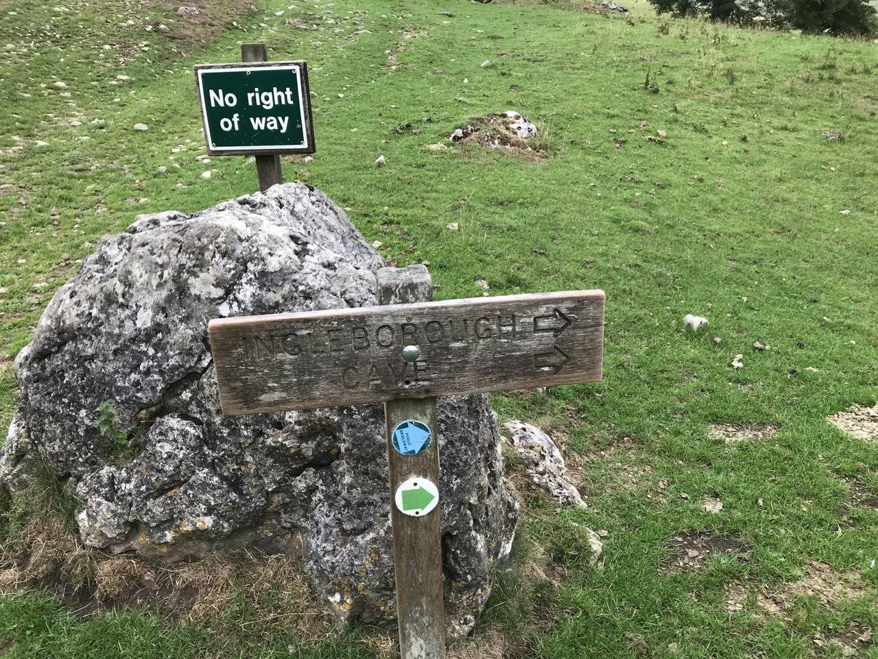
This wall had stepping stones with heavy moss attached. Was it a public footpath? I don’t think so; the other side had heavy barbed wire.
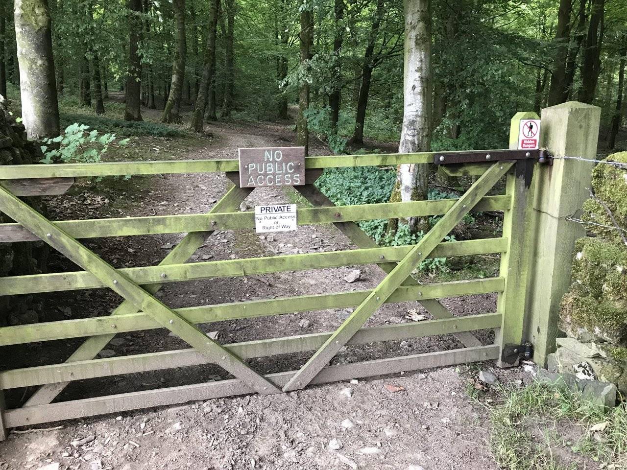
Our walk up the footpath that edged along Ingleborough Trail was full of ‘No right of way’ signs. Is this to stop people going on the trail without paying? This wasn’t the case with us, as at this point I was sure we were on the correct path. Wrong!
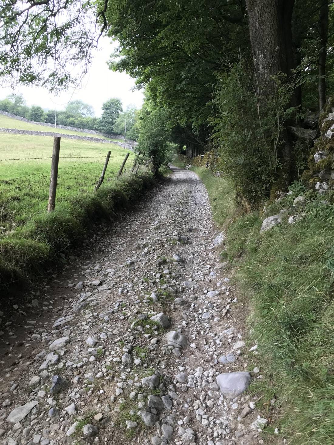
The heavily wooded area to the right of these pictures is where we should have been.
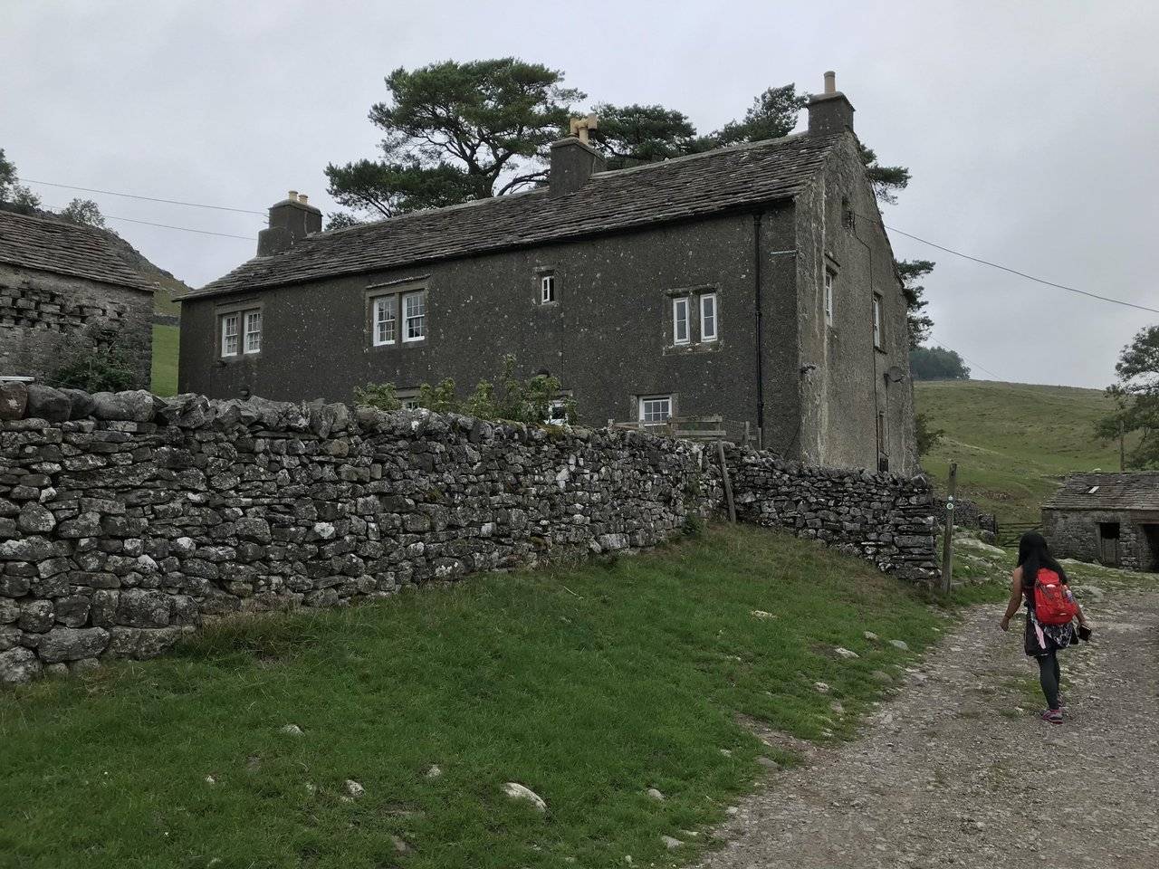
As we approached this farmhouse there was a chorus of dog barks. @bingbabe was getting a little nervous and had visions of a flock of German Shepherds attacking us. It didn’t happen and they were locked away.
On the far side of the farmhouse, we saw a sign for Ingleborough Cave. At last the right way!
Ingleborough Cave (formerly known as Clapham Caves) is a show cave close to the village of Clapham in North Yorkshire, England adjacent to where the water from Gaping Gill resurges.
We could see at this point when re-joining the path our mistake and what we had potentially missed by bypassing the trail. Oh well, the cave was ahead though we had no intention of visiting it today.
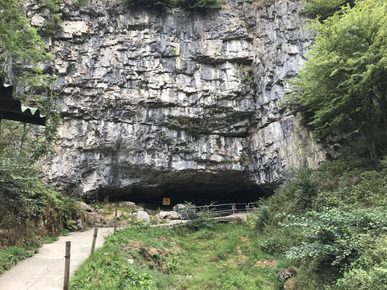
As it happens, it was closed and there were several people waiting for the 10am opening time. We continued on toward Trow Gill.
The trail was deserted as we left the cave, and within another half mile of walking we could hear complete silence.
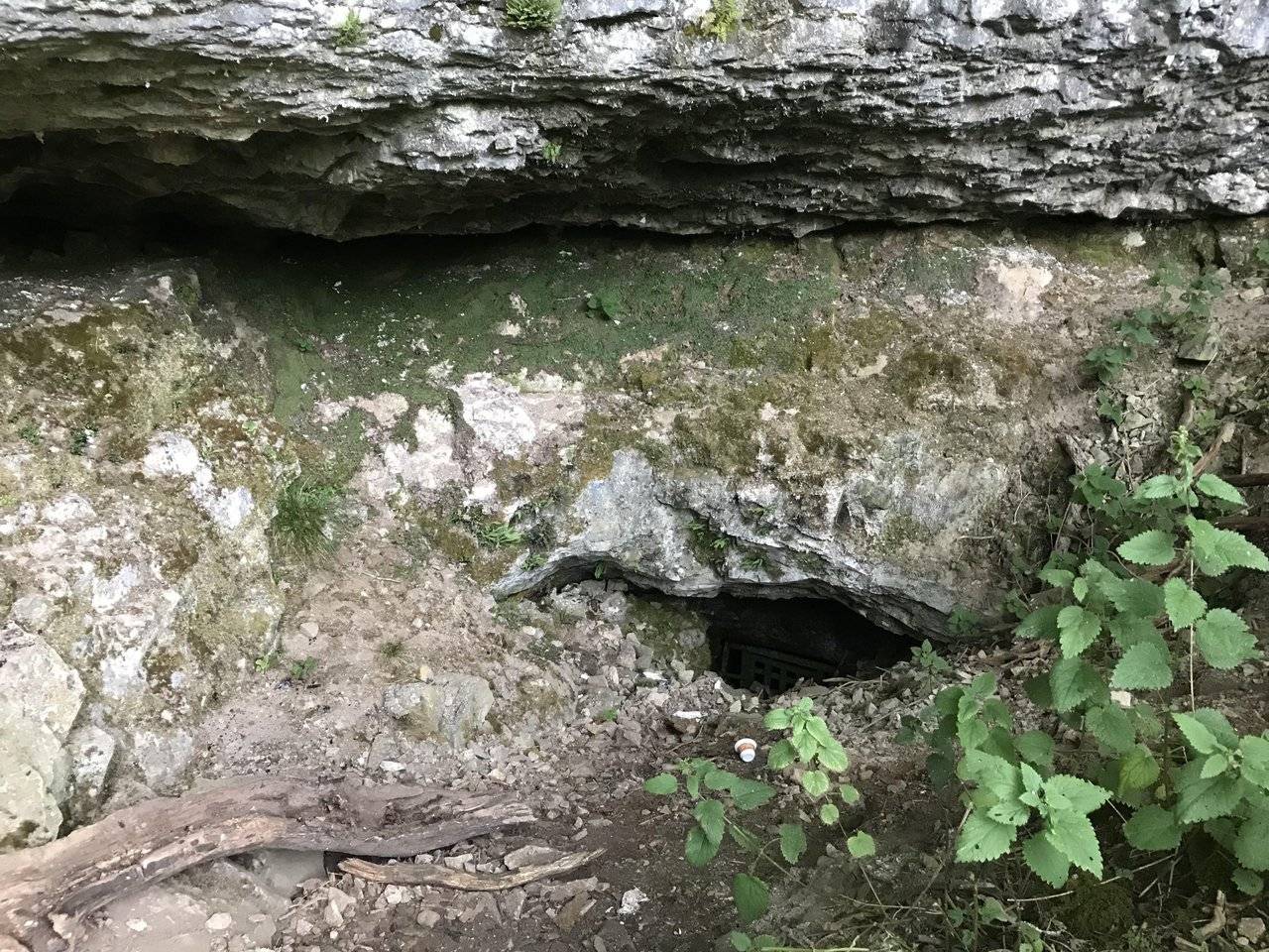
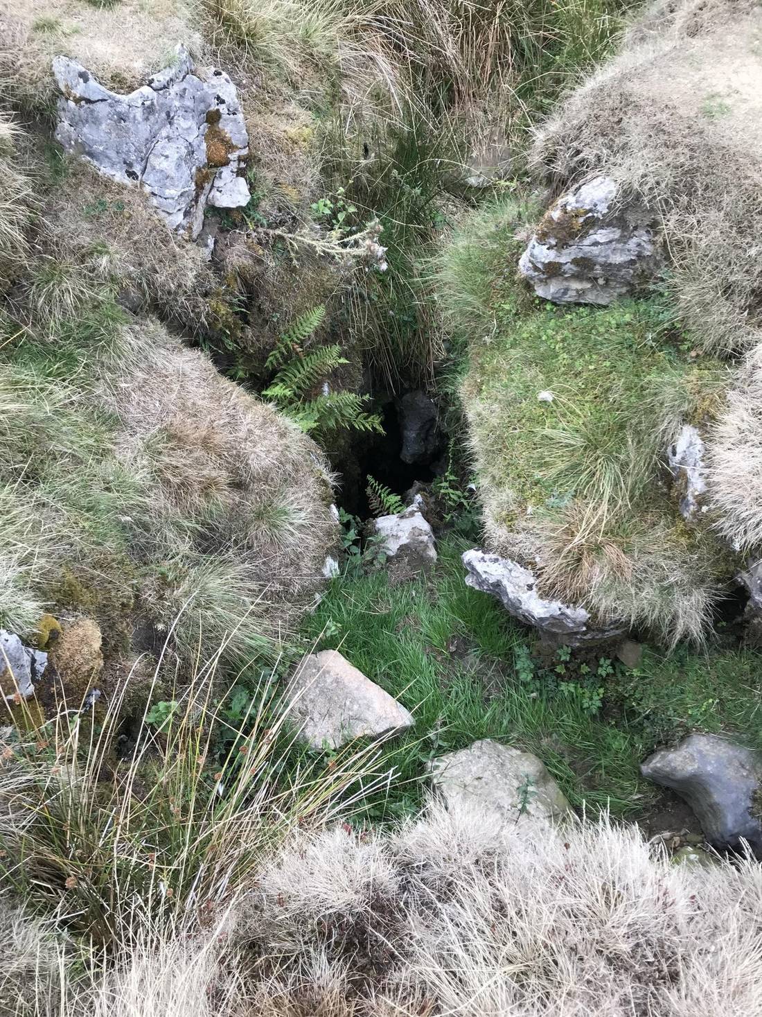
I noticed what looked like a cave off the beaten track and went to investigate. Its was a hole in the ground, one I didnt fancy getting too close too. Despite it's tiny looks, this is large enough for a man to fall down. (note the paper cup and its size).
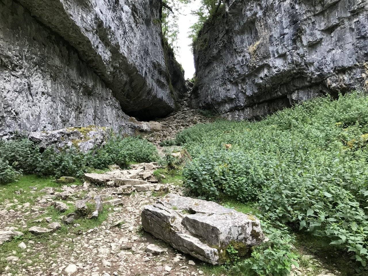
We entered the ravine named Trow Gill which was impressive yet and at the same time quite nettle ridden.
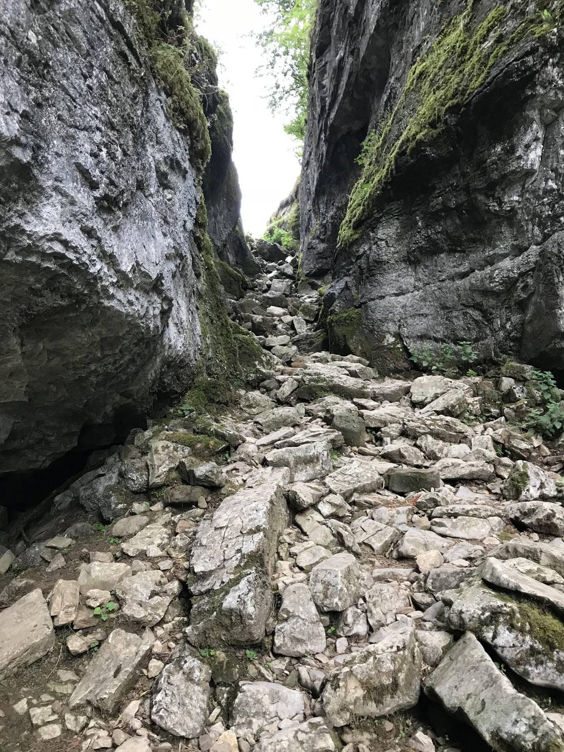
This place could be a great hideout for bandits in ancient times! I play far too many RPG’s for my own good and my imagination runs away with me at times.
The ravine got narrower and narrower and we climbed out via a passage with very uneven stones which were well worn doubtless due to many walkers over time.
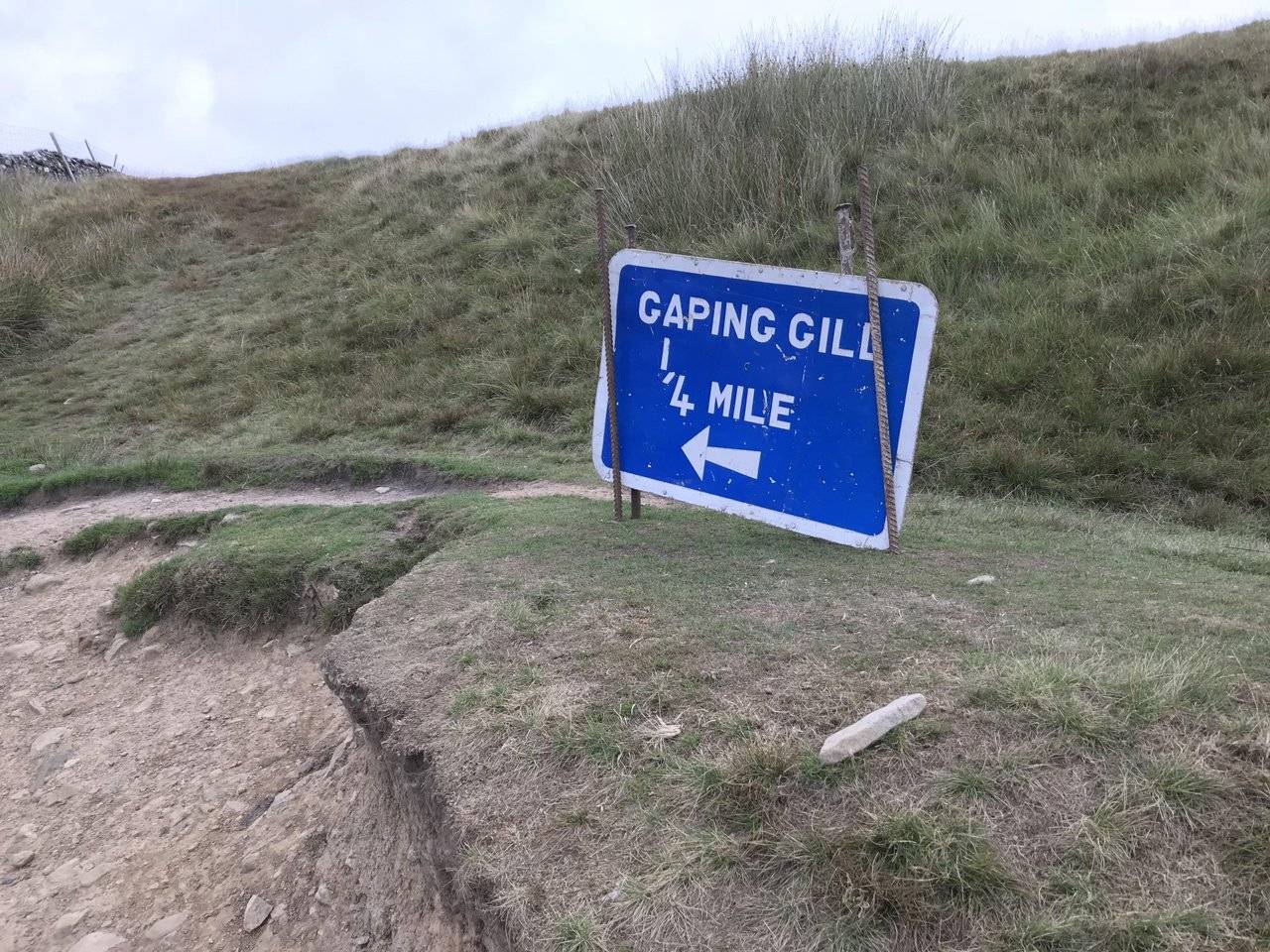
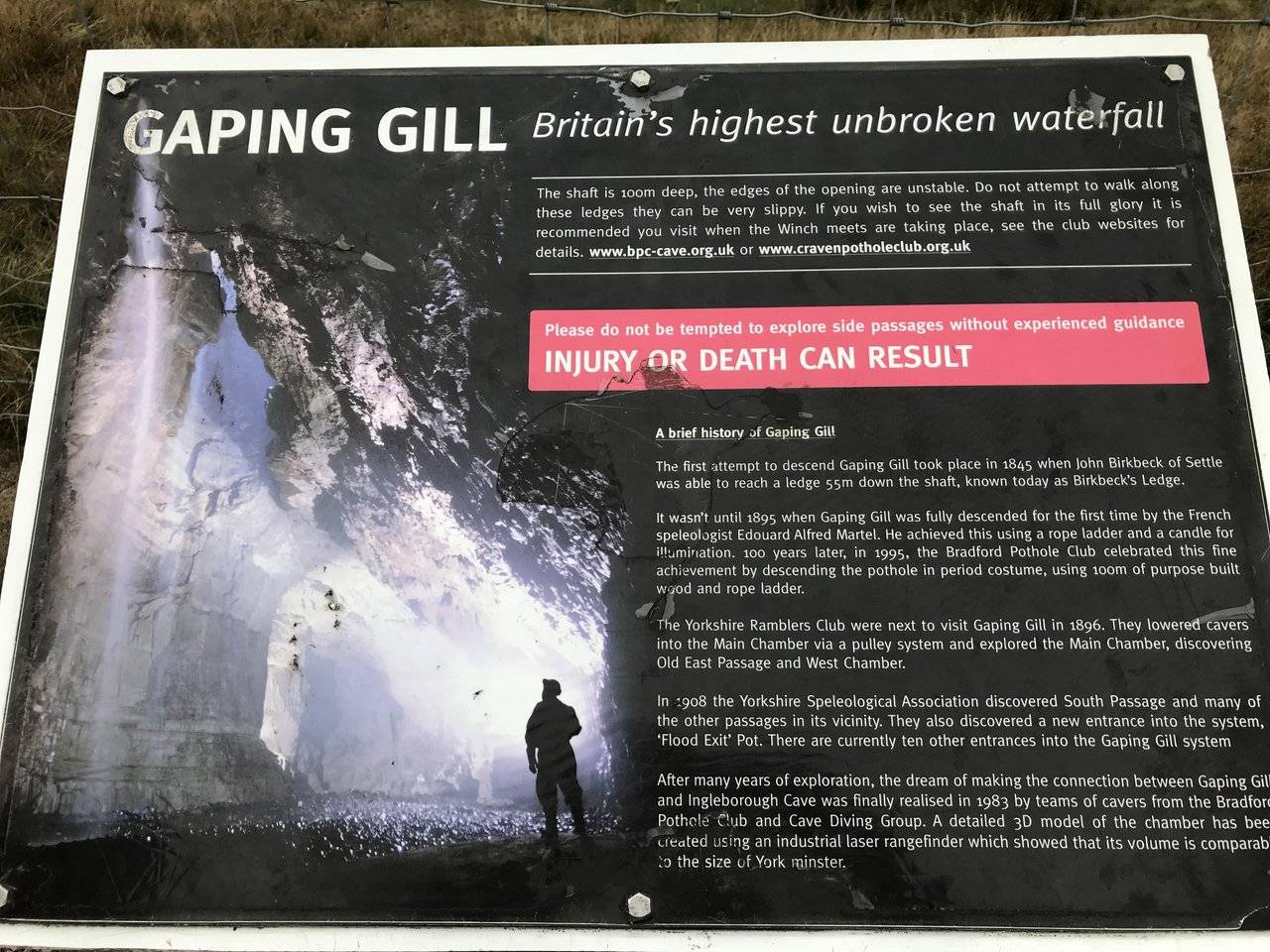
Next was Gaping Gill which is a massive underground chamber. We passed by it and noticed several deep holes in the ground with warnings.
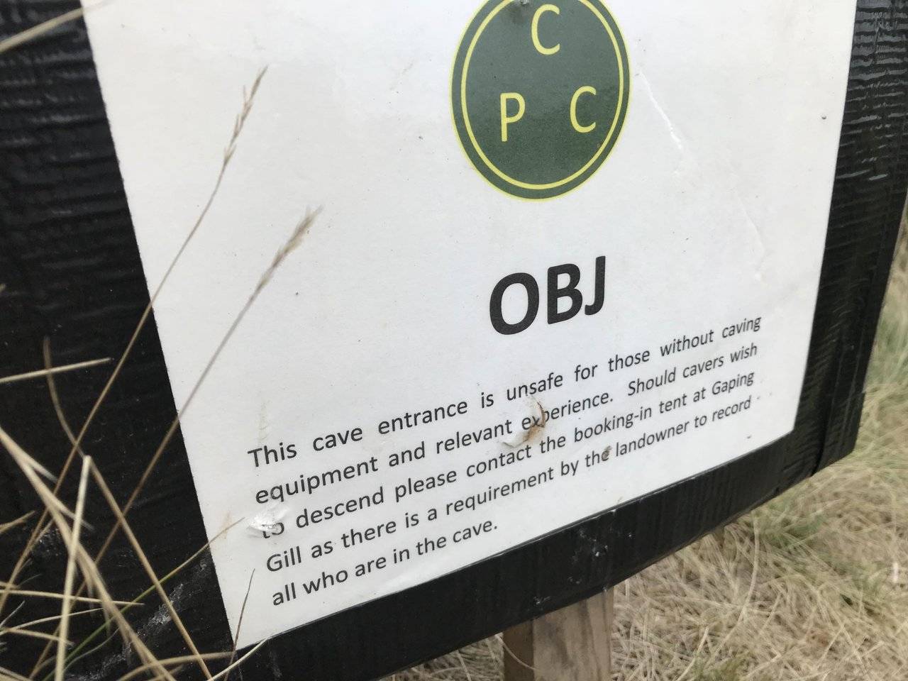
This is pot-holing country and dangerous for anyone going near these. Fall down this and it’s quite probably death.
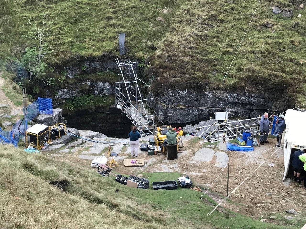
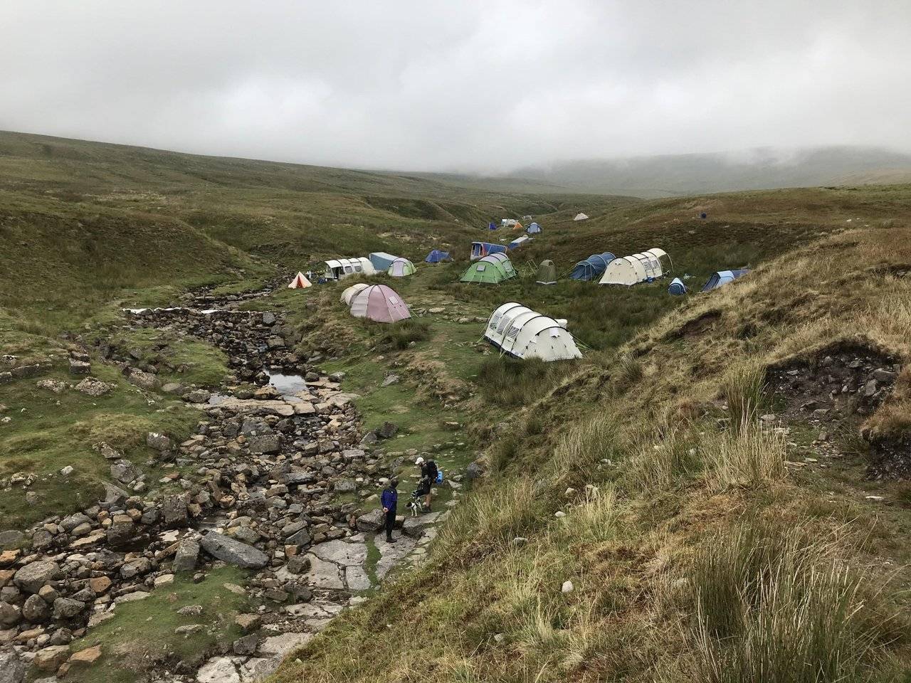
The Gill had many tents camped around it, these people do have enthusiasm! A winch was letting people down the 100m drop to the cavern below. It’s usually just for pot-holing clubs but the public can try it at times.
We made a mental note to descend in the future, as it’s being offered soon at £15 each. Ill have a go at that.
Gaping Gill (also known as Gaping Ghyll) is a natural cave in North Yorkshire, England. It is one of the unmistakable landmarks on the southern slopes of Ingleborough – a 98-metre (322 ft) deep pothole with the stream Fell Beck flowing into it. After falling through one of the largest known underground chambers in Britain, the water disappears into the bouldery floor and eventually resurges adjacent to Ingleborough Cave.
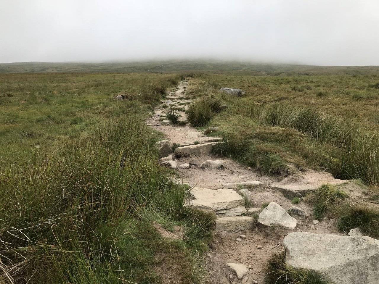
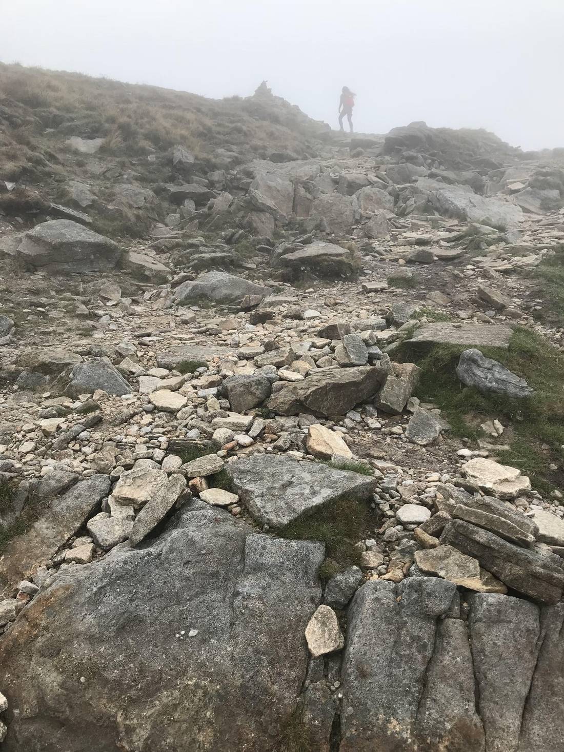
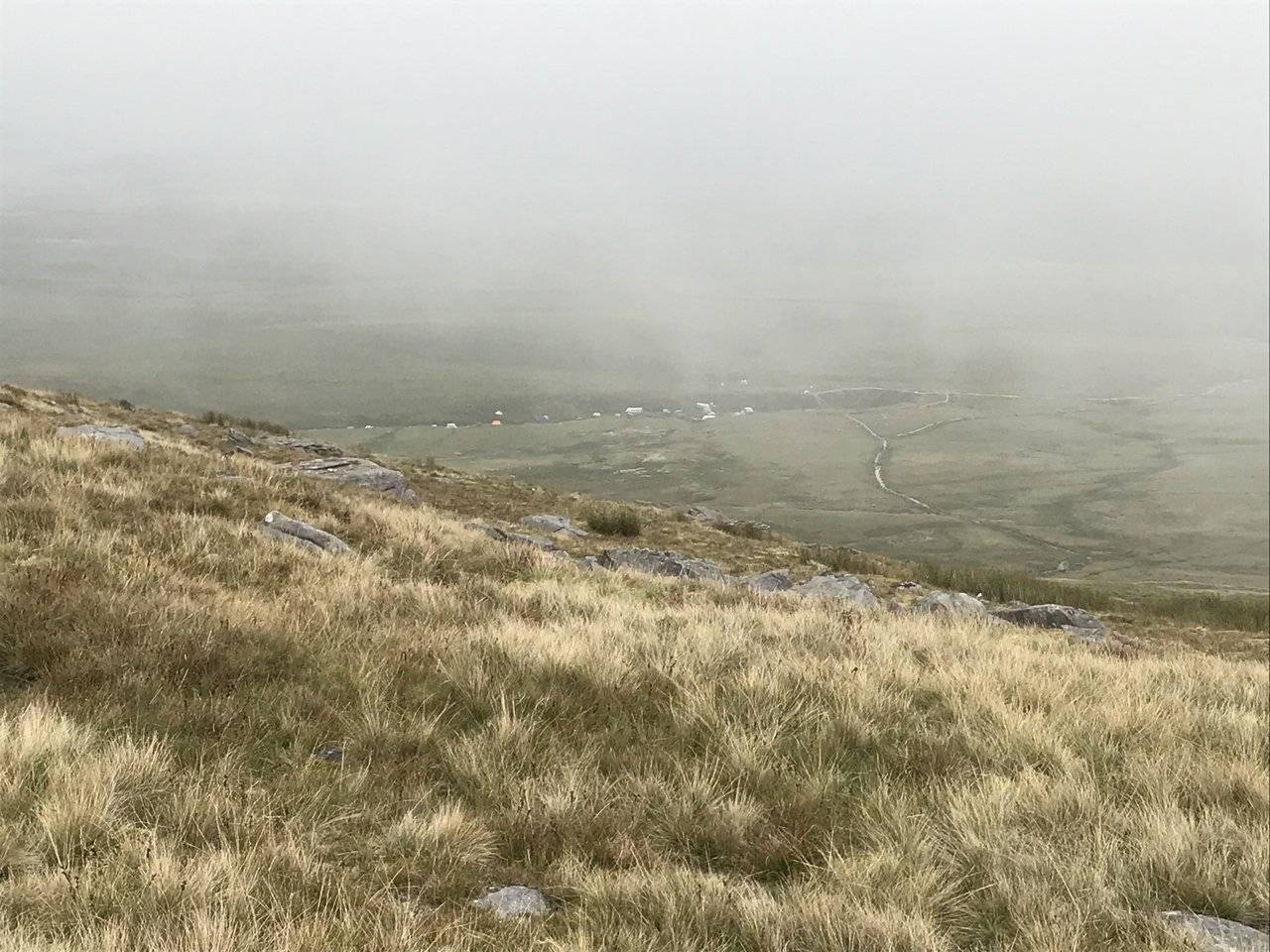
Leaving this big hole in the ground we could at last see the mountain or part of it. The mist and fog was covering most of it, and the uphill climb was about to start.
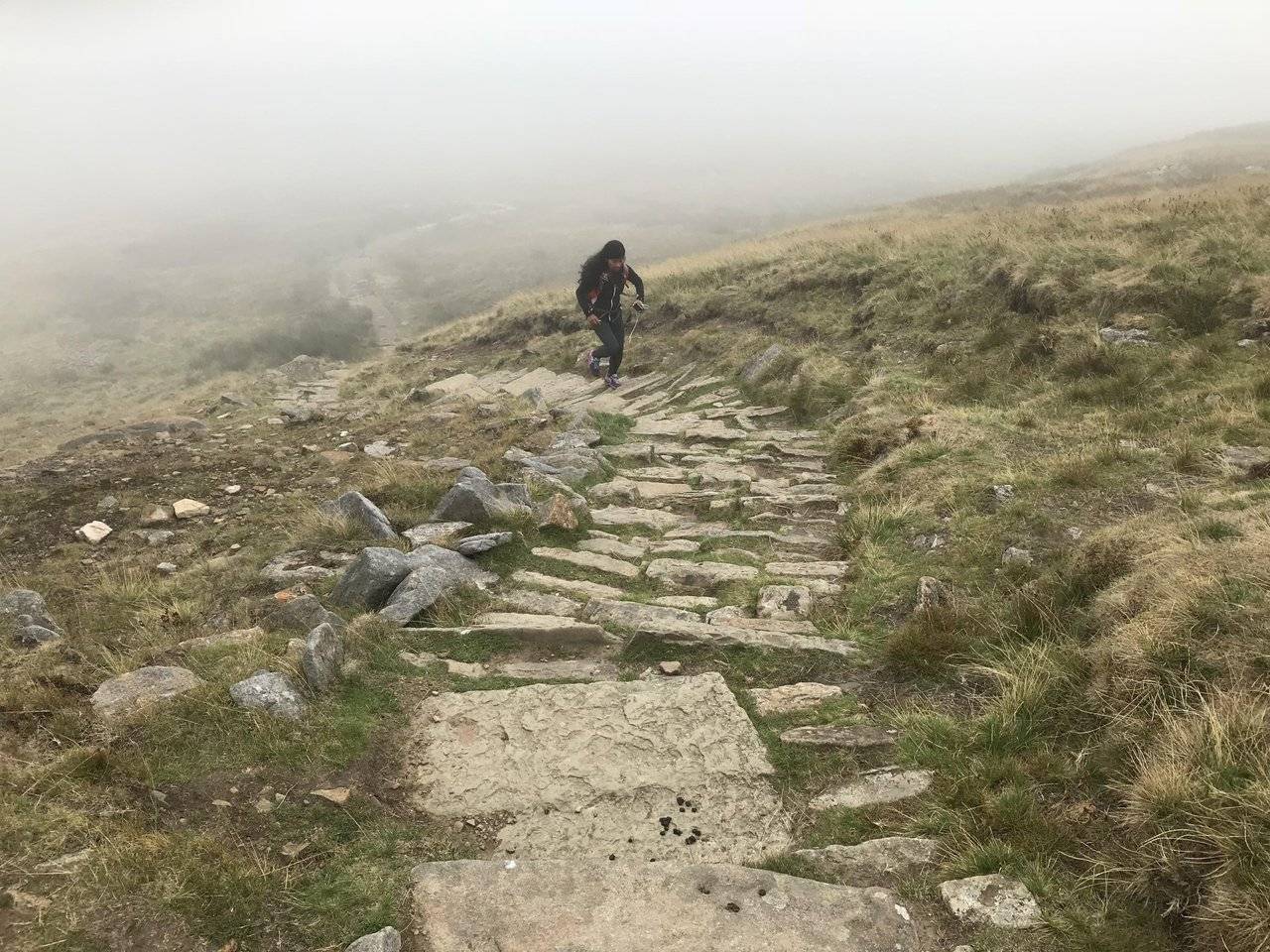
The path seemed to go on forever, getting steeper but not so steep to become a scramble. I had to take it easy as I’m not used to mountaineering, but I managed quite well I thought.
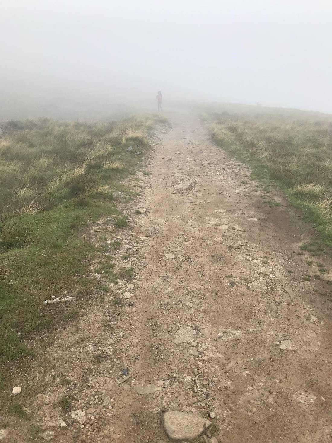
The mist encompassed us, it got a little windy and I was feeling decidedly colder. At times I could barely make out @bingbabe in front of me, so thick was the cloud.
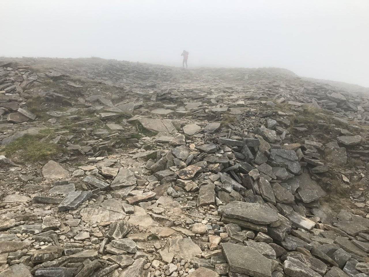
I thought we had reached the summit at this point but I was wrong. More uphill was to come and by the time we did reach the top my hands were very cold and my hair soaked.
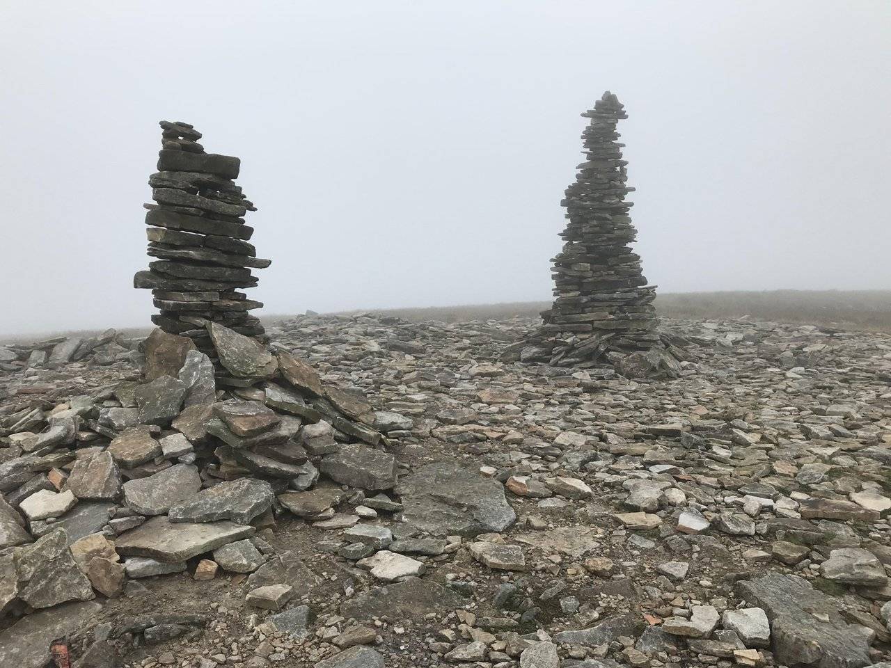
Now I know what it’s like walking in the clouds. The GPS took us to the true summit point where there is a stone pillar and shelter. We could hear some cheering and clapping through the clouds, though we couldn’t see anything. Then it turned to chanting.
We followed the chanting and found a bunch of people clustered around the mountain top stone all cheering and then chanting. Was this a bunch of cultists we had happened upon?
The didn’t seem to want to move away and there were other hikers who wanted a picture of the stone, through the clouds were quite dense and there wouldn’t be a whole lot to see.
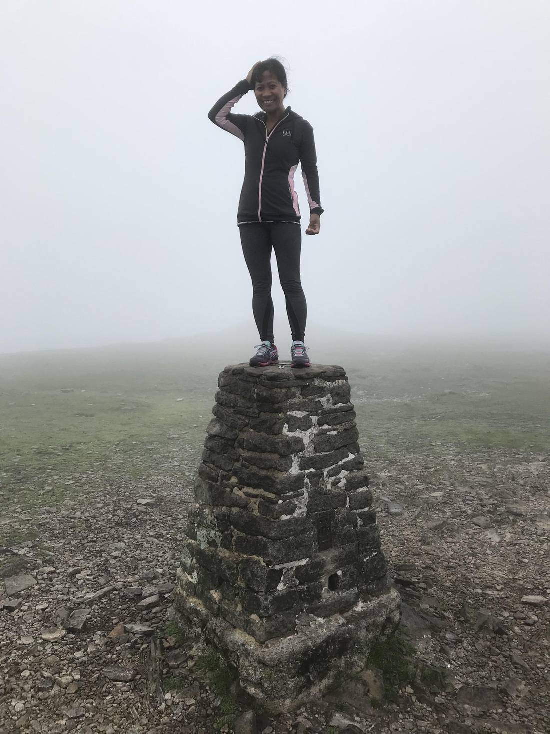
They moved away after some time and @bingbabe hauled herself up on the stone pillar drawing ‘Ohh’s and ‘Ahh’s’ from the cultists. I wasn’t sure if she was going to be offered up as a sacrifice at this point, but then realized there were too many witnesses about for this to be feasible.
The downhill trek was unremarkable, backtracking partly the way we had come. We still couldn’t see a thing, and I vowed never to climb if the weather was crap again.
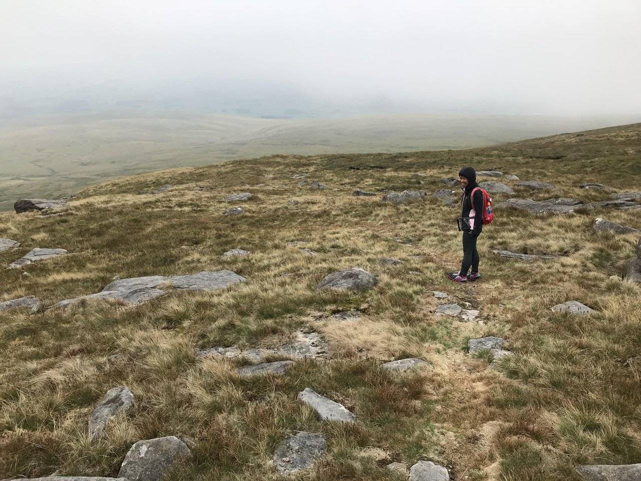
The trail parted and we started descending down stony paths and undulating hillside, sometimes quite steep. On one hand, the clouds may have stopped my vertigo as I simply couldn’t see these huge drops next to me and suffered next to none.
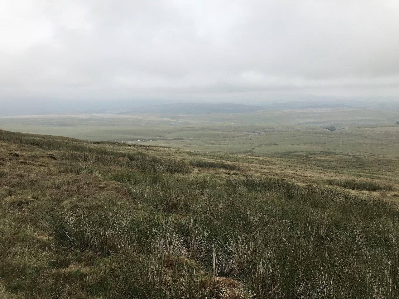
The clouds finally parted and we had a solid 2 mile stretch of downhill to navigate on what seemed like an almost unknown trail. The path was barely distinguishable at times and we saw nobody for the best part of an hour.
We had some decent views of surrounding countryside including the tent people at Gaping Gill amongst others.
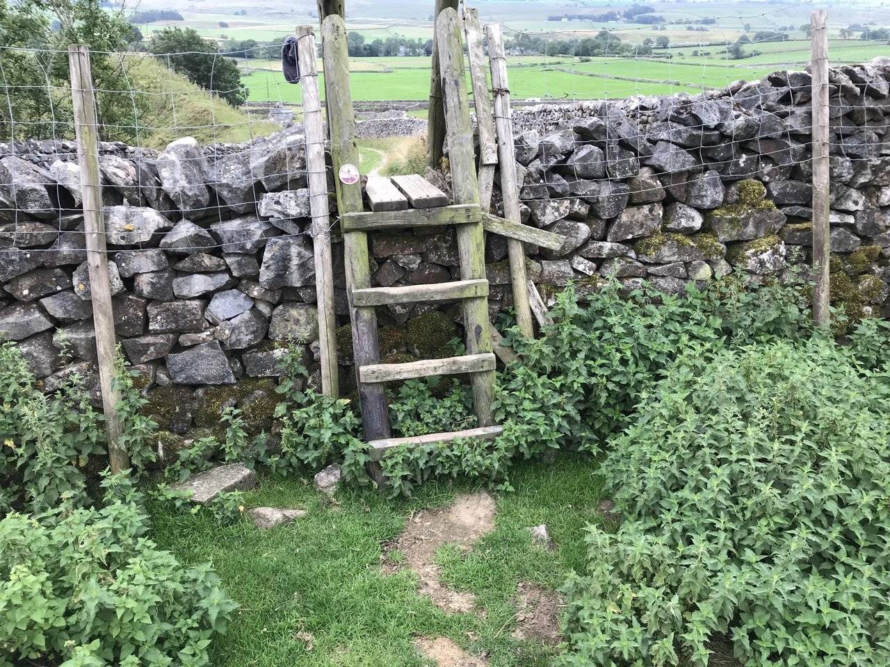
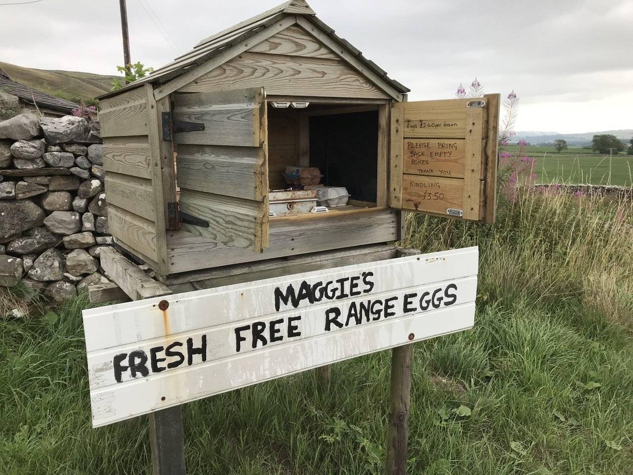
More dog unfriendly stiles finally brought us to a run-down farm and ‘Maggie’s Fresh Free Range Eggs’. Leave £2.40 and grab a dozen eggs. It’s all based on trust of course,
and is one of those great British quirky things we have.
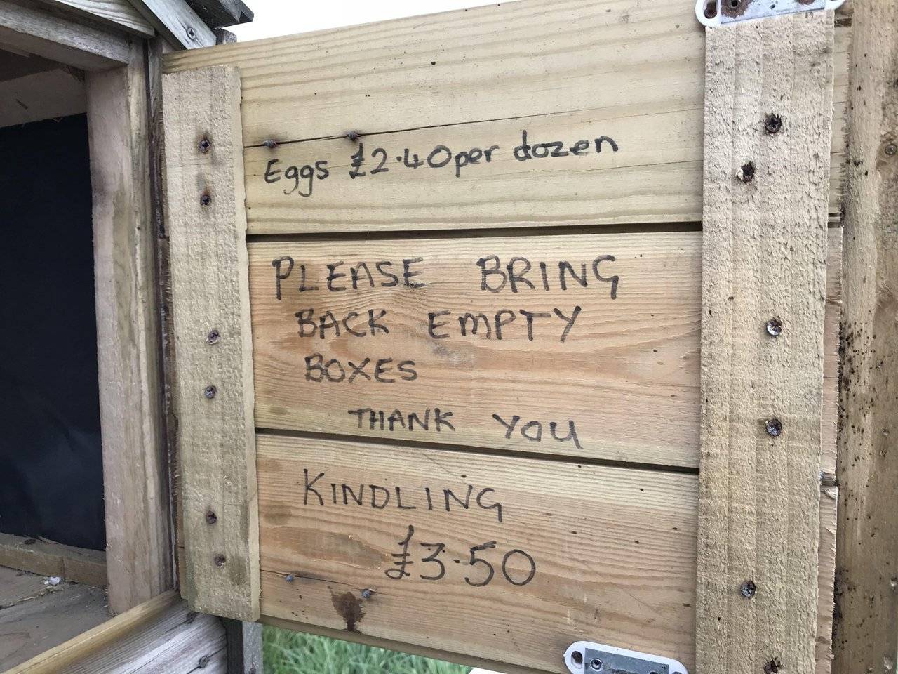
We only wanted 6 eggs so left £1.20 in the lock box. As for bringing the empty box back, that may be a little more difficult.
Another walk of a mile or so on the roadside brought us back to Clapham. After almost 9 miles of walking an climbing, we needed a cup of tea and sought out ‘The Croft Café’.

Ready to Blog & Earn?
With TravelFeed, easily start your own travel blog and earn as you go. It's the smart platform for travelers who want to profit from their passion. Create a free account
It really was the best tea I have tasted in a long time. I enquired about the type of tea and was informed ‘Tetley’. Nothing special about that then! The owner told me ‘it’s the water in these parts, it makes all the difference.’
This was a tough hike, the most gruelling I have done so far yet I felt I managed it quite well. No DOMS today either. I must be fitter than I look. If I learnt anything by this experience, it's don't hike unless it's sunny, unless you want to miss all those lovely views.
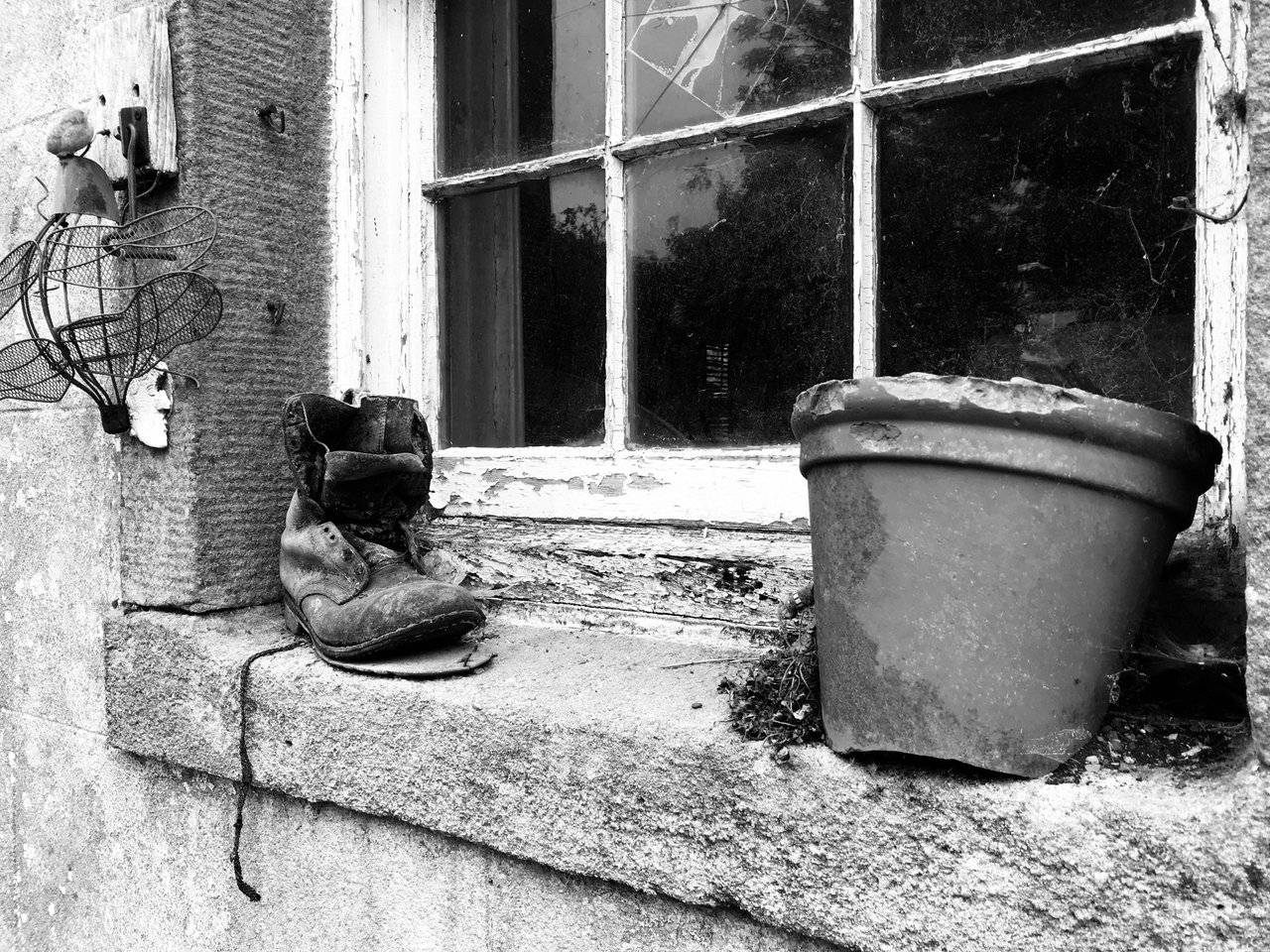
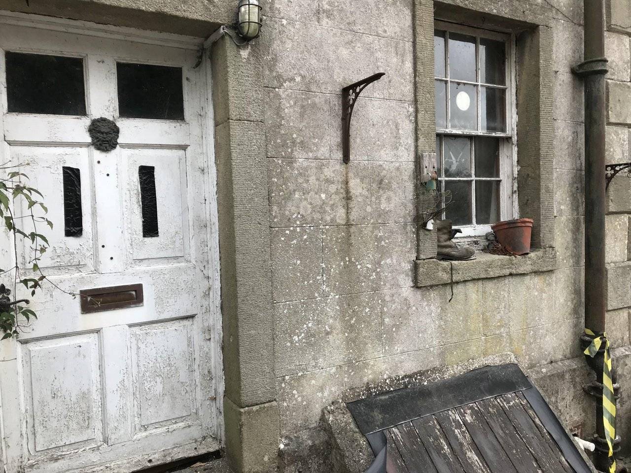
I spotted this abandoned house in the centre of the village and couldn’t resist this shot. I think its looks better in black and white, what do you think?
All photographs were taken by myself except for the cover one which has been sourced from wikipedia.
Don't Forget: Get Travel Health Insurance!
To make your trip a worry-free experience, TravelFeed recommends SafetyWing Nomad Insurance. It provides comprehensive health coverage while you travel, so you can focus on exploring, not the unexpected. Get a quote here


If you found this article so invigorating that you are now a positively googly-eyed, drooling lunatic with dripping saliva or even if you liked it just a bit, then please upvote, comment, resteem, engage me or all of these things.
Travel Resources for your trip to United Kingdom
Recommended by TravelFeed
Flights: We recommend checking Kiwi.com to find the best and cheapest flights to United Kingdom.
Accomodation: Explore the best places to stay in United Kingdom on Booking.com, Agoda and Hostelworld.
Travel Insurance: Medical emergencies abroad can be pricey, but travel health insurance is not. We always use SafetyWing for affordable and reliable coverage.
Car Rental: For hassle-free car hiring, DiscoverCars is our trusted choice with a wide selection of vehicles.
Internet: Got an eSIM compatible phone? Airalo is perfect for reliable internet access during your trip. Just install it before you go, and you're set!
Day Trips & Tours: We recommend GetYourGuide for a variety of well-organized and enjoyable activities.
Travel Planner: Need a hand planning? Our free travel planner chatbot is your personal guide to United Kingdom. Chat now.
Disclosure: Posts on TravelFeed may contain affiliate links. See affiliate disclosure.
