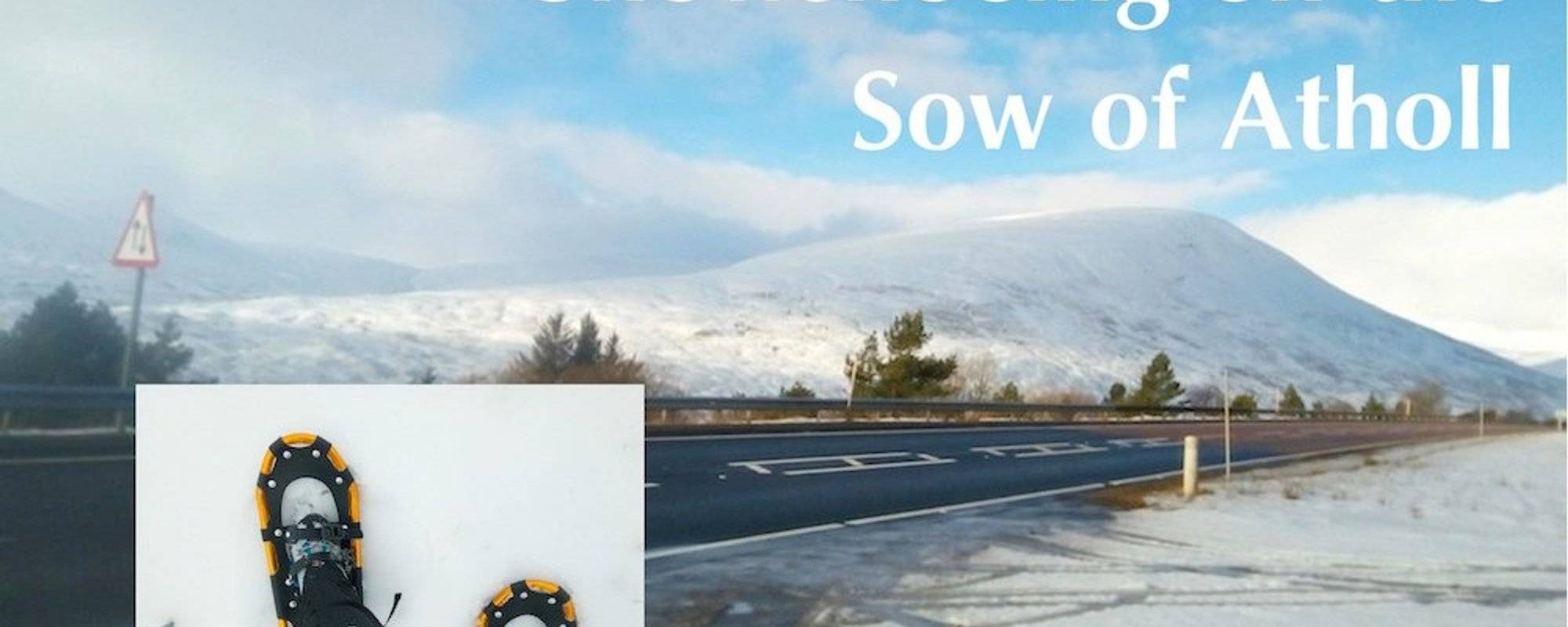
It wasn't until I was walking towards the hill known as The Sow of Atholl that I realised how fitting this expedition was on the first day of the Chinese Year of the Pig. I had wanted to climb this hill for a long time, partly because its memorable name had lodged it firmly in my mind, and partly because it's such a prominent feature looming serenely over the A9 trunk road that links Perth with Inverness.
According to Wikipedia, the hill got its current name relatively recently, in response to the name of a neighbouring hill, the Boar of Badenoch. The hill's older name is Meall an Dobharchain, which means Watercress Hill (watercress may have grown abundantly on its boggy lower slopes in the past).
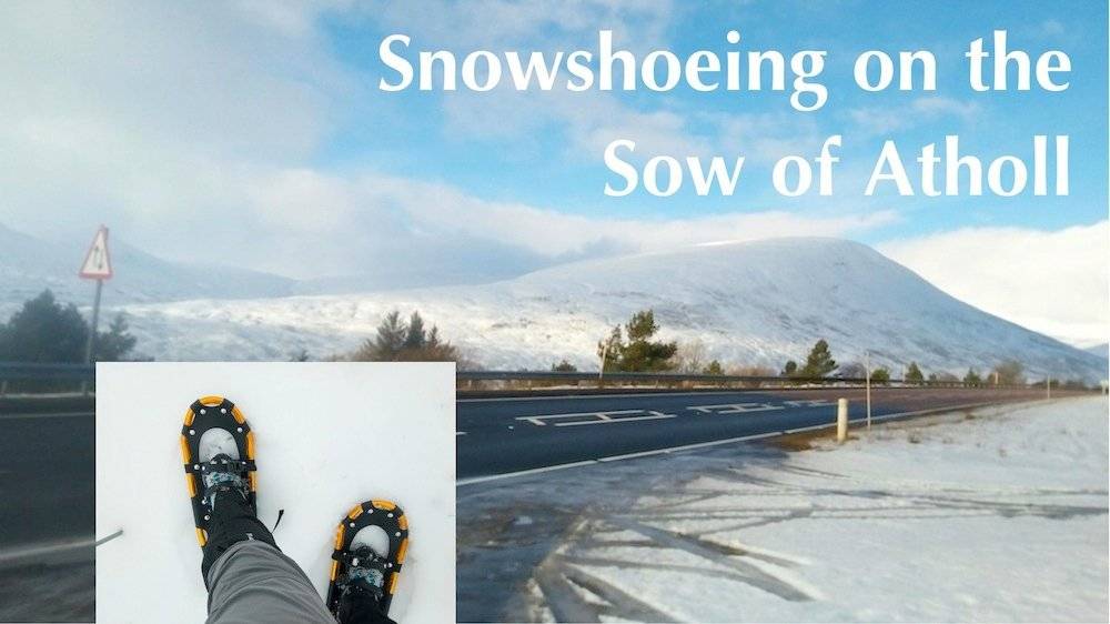
The Sow of Atholl (803m) lies very close to the Drumochter Pass, the highest point on the A9, at 460m, and from there it's less than 400m of ascent to the summit.
I thought this would make a short, easy break in my journey to Aviemore for a winter navigation course the following day, and I could also try out my new-ish snowshoes. I'd actually bought them as a birthday present for myself in February 2018, but had never had the chance to try them out.
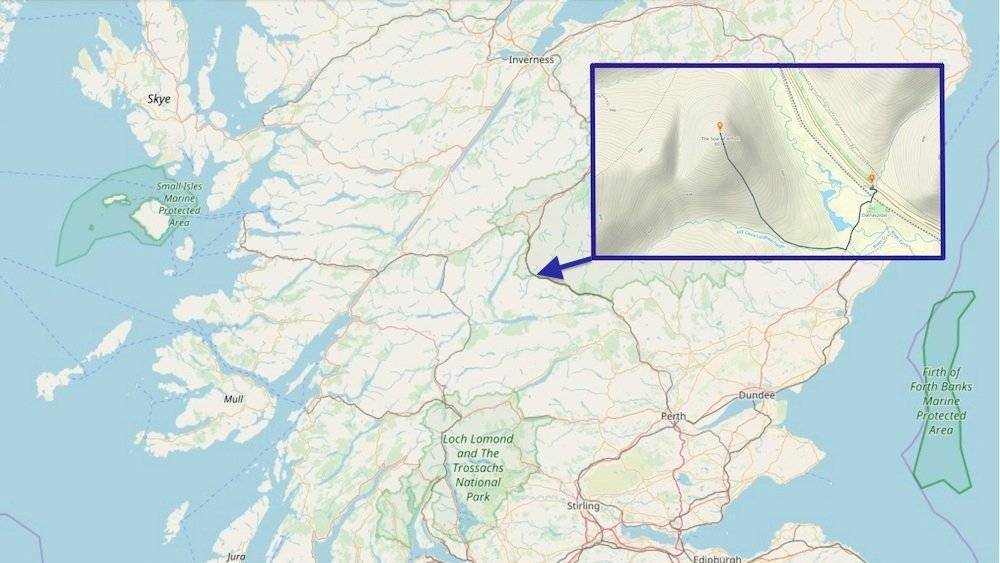
The first challenge was how to attach the snowshoes, which together weigh 2.5kg, to my backpack. When I'd ordered them online, I'd had no idea how big they would be, and I was quite astonished when they arrived. They are a bit like tennis rackets.
My backpack with the snowshoes attached.
I attached them using the side compression straps of my backpack, and secured them at the bottom using the straps of the showshoes. It didn't seem too heavy, and I comforted myself with the thought that after I put them on, my pack would be 2.5kg lighter.
The approach path winds round to the southern shoulder of the Sow, and involves crossing a private level crossing over the railway. I found this a bit nerve-racking, as it was covered in a thick layer of ice. I did not want to risk slipping and falling as a train approached, so I crossed very carefully.
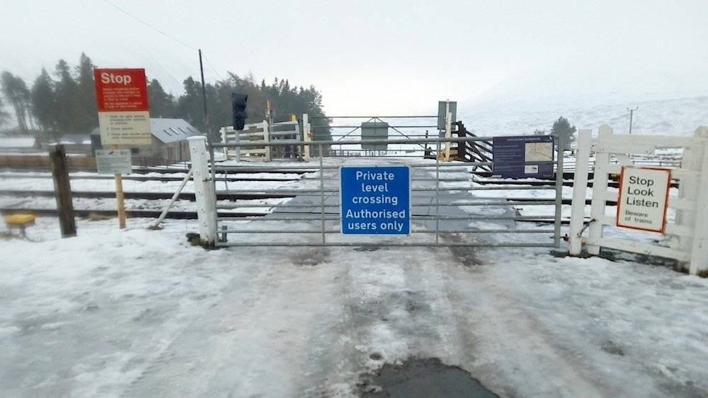
I took this photo on the way back, when most of the ice had melted and turned to slush.
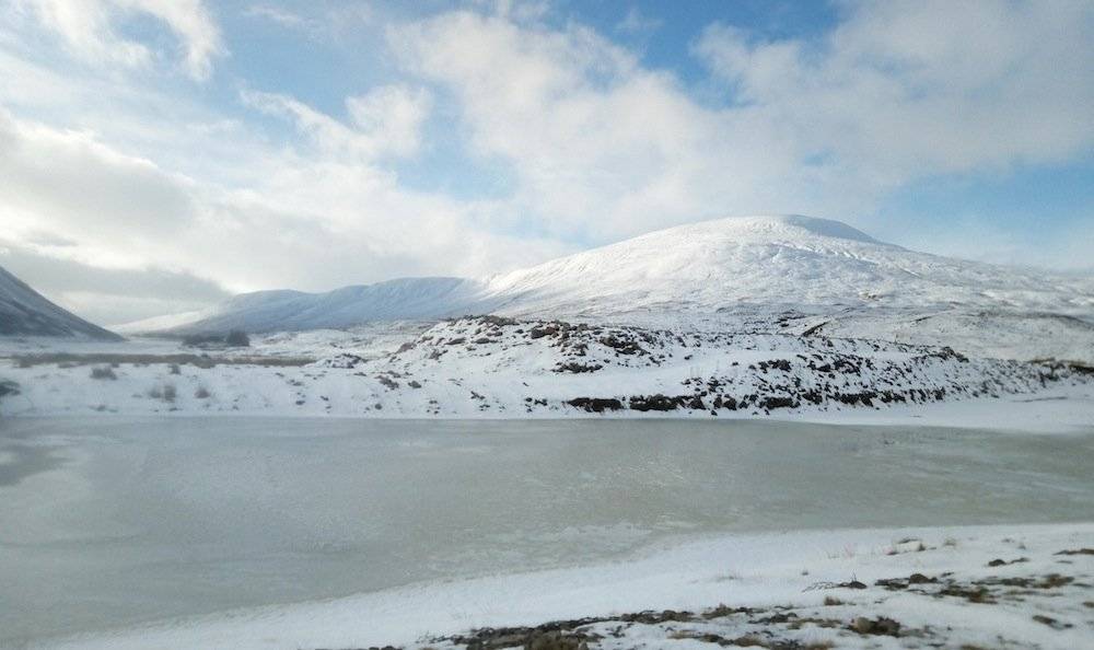
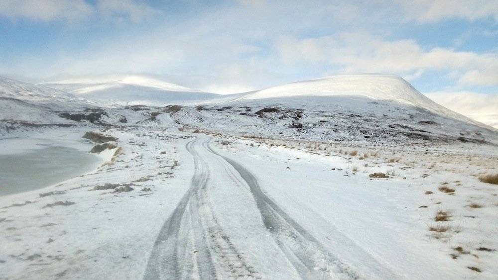
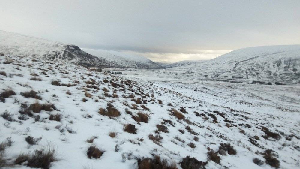
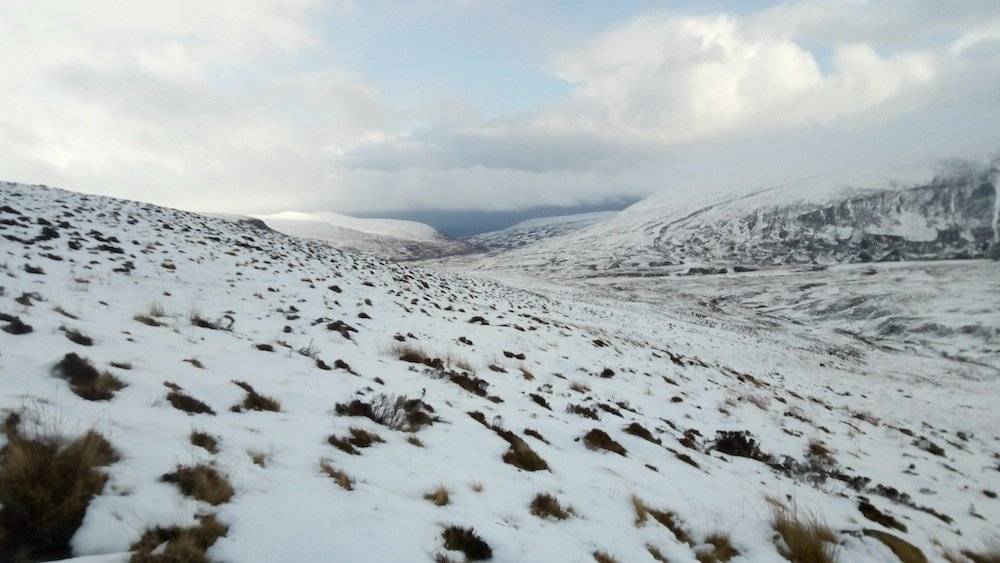
I passed no one as I walked along the track towards the Sow, admiring the beautiful views of the surrounding snow-covered hills.
Meallan Buidhe.
Sgairneach Mhor, at the left, is a Munro at 991m. The Sow of Atholl is on the right.
This photo shows the Sow of Atholl as I approached her southern flank, with the Boar of Badenoch to her right.
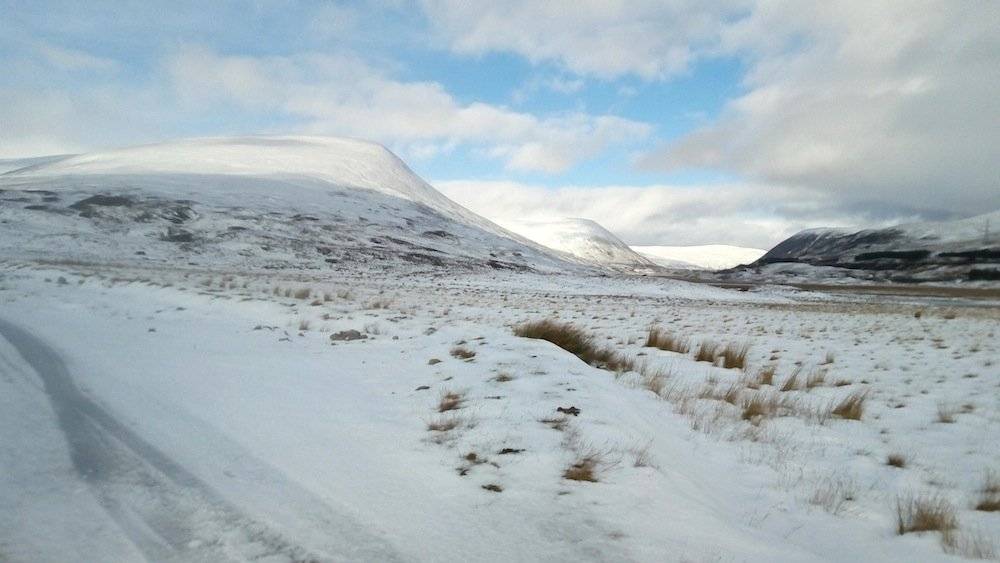
As I left the track and started to climb up the heathery hillside, thick mustard-coloured clouds started rolling in from the south. The snow at this point was not deep enough to put on the snowshoes.
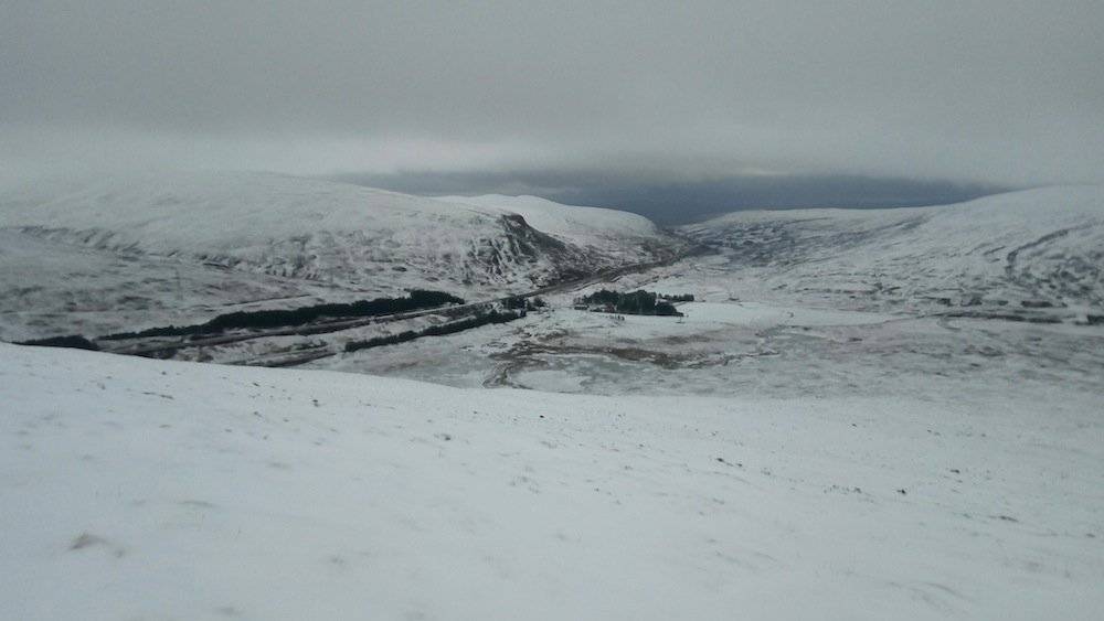
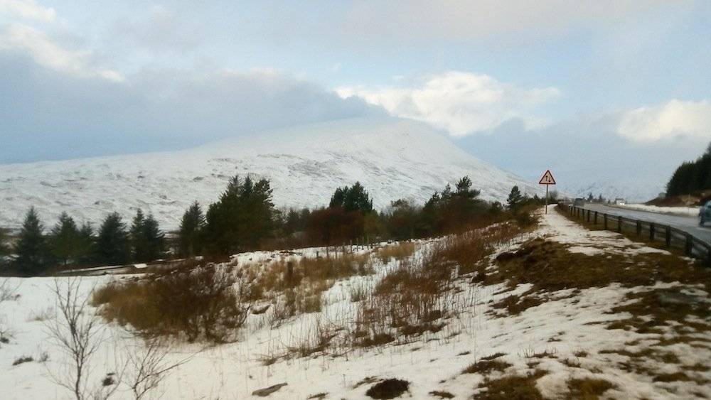
View south down the A9, with the weather looking increasingly overcast.
Halfway up the hill, the snow became very deep, and I decided it was time to put on the snowshoes. They were much easier to put on than I'd expected, with two ski binding-style straps at the front and a clip strap at the back.
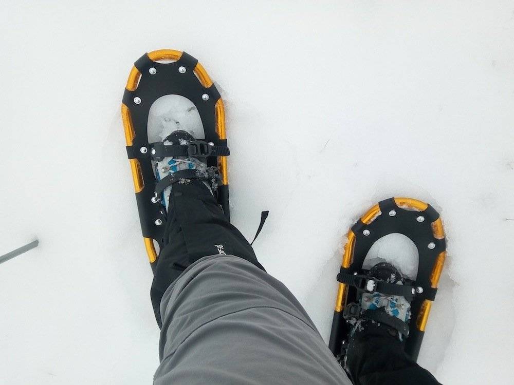
Snowshoes on... the wrong way round!
I found them much easier to walk in than I'd expected too – despite the fact that I'd put them on the wrong feet! They definitely increased my walking speed a bit, mainly because I wasn't sinking into the snow with every step, although they did make my legs feel a bit heavier each time I lifted them up.
I think snowshoeing gave my legs quite a workout!
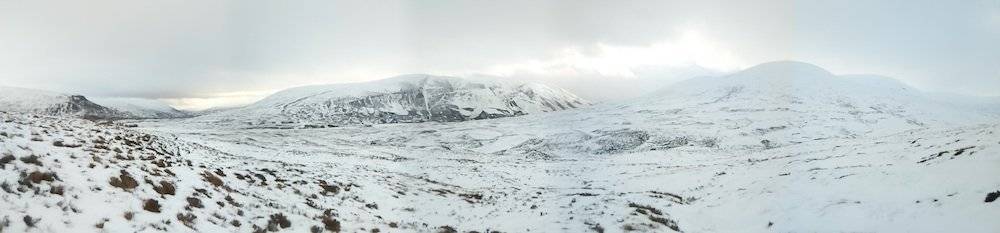
The views became more glorious the higher I climbed.
As I approached the summit, the clouds started to darken quite dramatically.
The summit plateau was in whiteout conditions. As soon as I spotted the small summit cairn, I headed straight for it. I didn't want to hang around there too long!
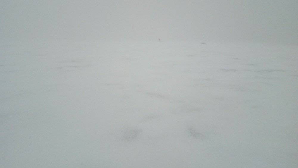
The summit cairn is the little speck sticking up in the distance.
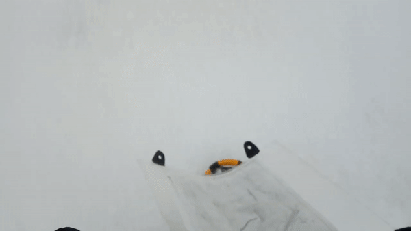
Snowshoeing my way to the summit cairn. Note that I had my snowshoes on the right feet by now!
After the brief excitement of reaching the summit in snowshoes, I panicked a bit, as I found myself in a full-on blizzard with howling winds and driving snow. I knew I couldn't hang about there for long, but the first thing I did was stop to put on my balaclava and goggles. Then I grabbed everything and started to head down as quickly as I could.
It wasn't long before I realised I'd headed down in the wrong direction. I hadn't gone very far, but if I continued in that direction I would soon meet a very steep, sheer drop. I started to traverse round the mountain, using the GPS on my phone as a guide – something I rarely do, and there's a reason for that. It can be quite confusing and disorienting.
I soon realised I was just getting further away from the correct descent point. There was only one thing for it: I needed to go back to the windswept summit and start again.
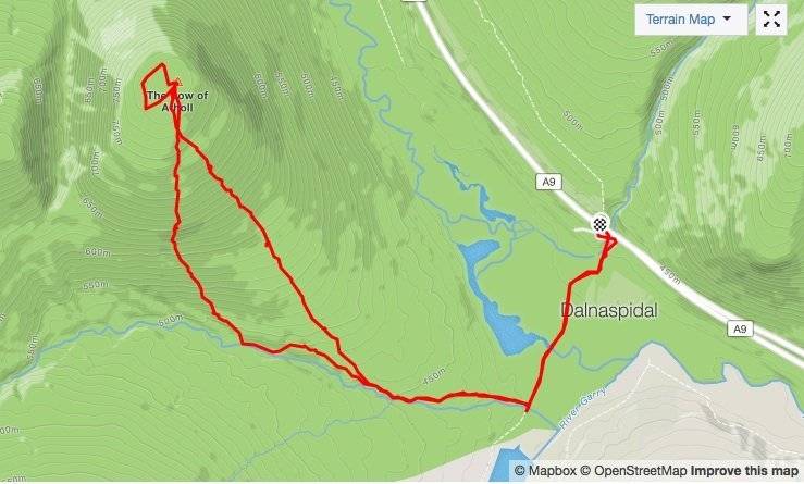
The little loop at the top of the hill shows how I wandered off course and then got back on course again. If I'd continued in the wrong direction I would probably have come out at a very steep edge. That's why hill navigation is so important, especially in winter conditions.
It didn't take me long to reach the summit cairn again, and from there it was a simple matter of following my compass directly south for a while. I was soon back on course. The only thing that had prevented me doing this in the first place was that momentary panic, when I'd done everything in too much of a rush.
It didn't take me long to get back down the hill, though I removed the snowshoes quite early on, as they kept jamming into the snow on the way down, threatening to trip me up.
The clouds were receding by now too.
Back on the path, I took a last look up to the summit of the Sow. She seemed to have calmed down quite a bit!

Ready to Blog & Earn?
With TravelFeed, easily start your own travel blog and earn as you go. It's the smart platform for travelers who want to profit from their passion. Create a free account
Though it was probably a bit of an illusion. The translucent cloud caressing the summit would probably translate into buffeting winds and low visibility for anyone up there.
I walked back to my car to continue my journey, feeling refreshed and relaxed after my bracing snowshoe experiment.
A last look at the Sow of Atholl from the A9.
Don't Forget: Get Travel Health Insurance!
To make your trip a worry-free experience, TravelFeed recommends SafetyWing Nomad Insurance. It provides comprehensive health coverage while you travel, so you can focus on exploring, not the unexpected. Get a quote here
Posted from my blog with SteemPress : http://ramblingandscrambling.co.uk/mountains/snowshoeing-into-the-year-of-the-pig/


Travel Resources for your trip to United Kingdom
Recommended by TravelFeed
Flights: We recommend checking Kiwi.com to find the best and cheapest flights to United Kingdom.
Accomodation: Explore the best places to stay in United Kingdom on Booking.com, Agoda and Hostelworld.
Travel Insurance: Medical emergencies abroad can be pricey, but travel health insurance is not. We always use SafetyWing for affordable and reliable coverage.
Car Rental: For hassle-free car hiring, DiscoverCars is our trusted choice with a wide selection of vehicles.
Internet: Got an eSIM compatible phone? Airalo is perfect for reliable internet access during your trip. Just install it before you go, and you're set!
Day Trips & Tours: We recommend GetYourGuide for a variety of well-organized and enjoyable activities.
Travel Planner: Need a hand planning? Our free travel planner chatbot is your personal guide to United Kingdom. Chat now.
Disclosure: Posts on TravelFeed may contain affiliate links. See affiliate disclosure.
