
I already presented Route 1 , Route 2 and Route 4 here on TravelFeed. So, here's finally the description of Route 3 of the "tut gut" hiking trails in the municipality of Grafenegg in Lower Austria.
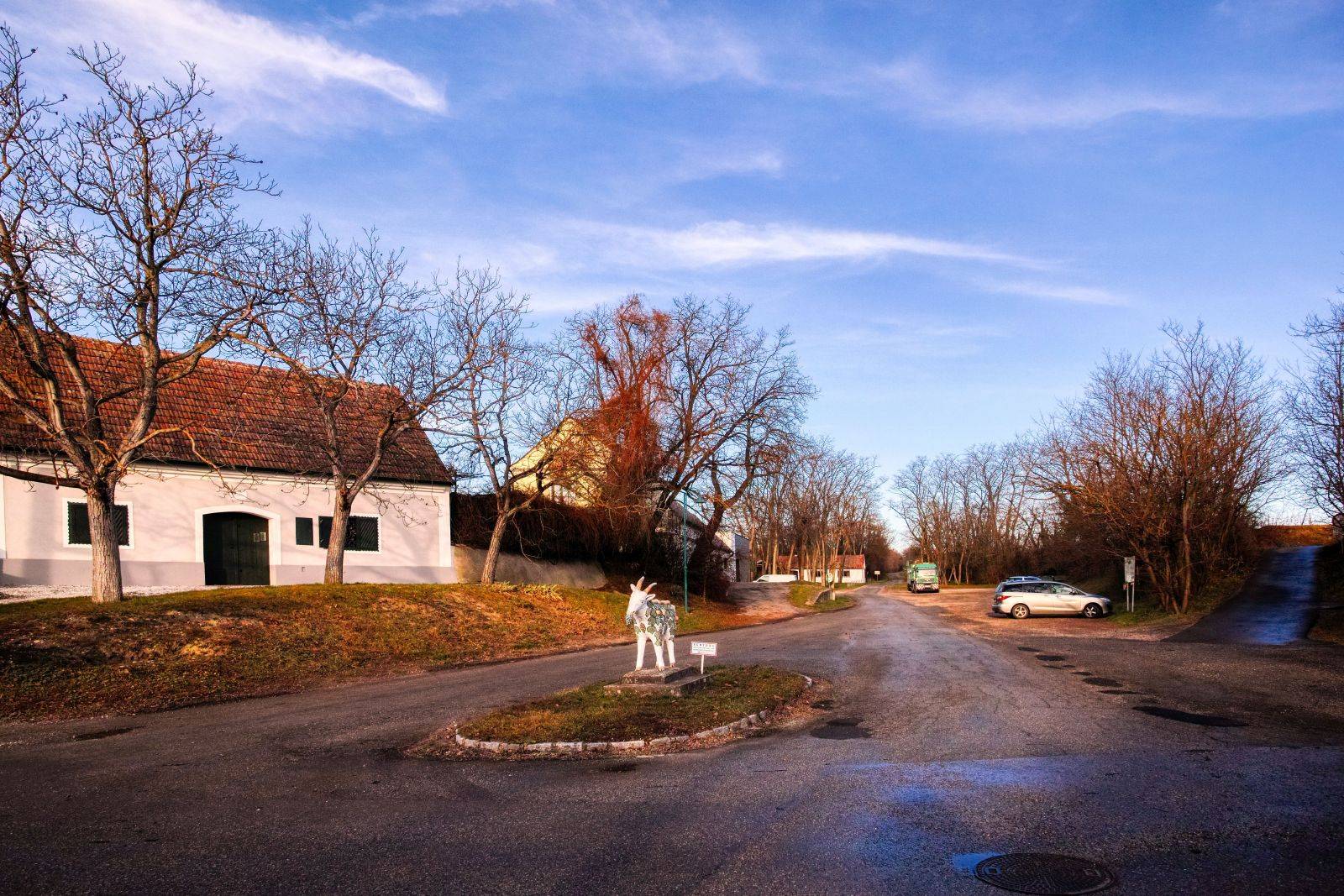
Route 4 starts in the cellar alley of Etsdorf, one of the nine villages that together form the municipality of Grafenegg. You probably already know this place, because it is also the starting point of Route 4.
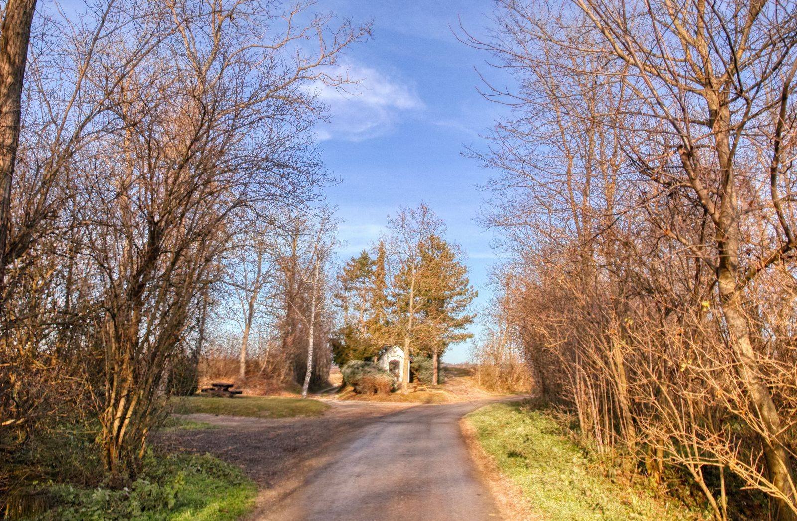
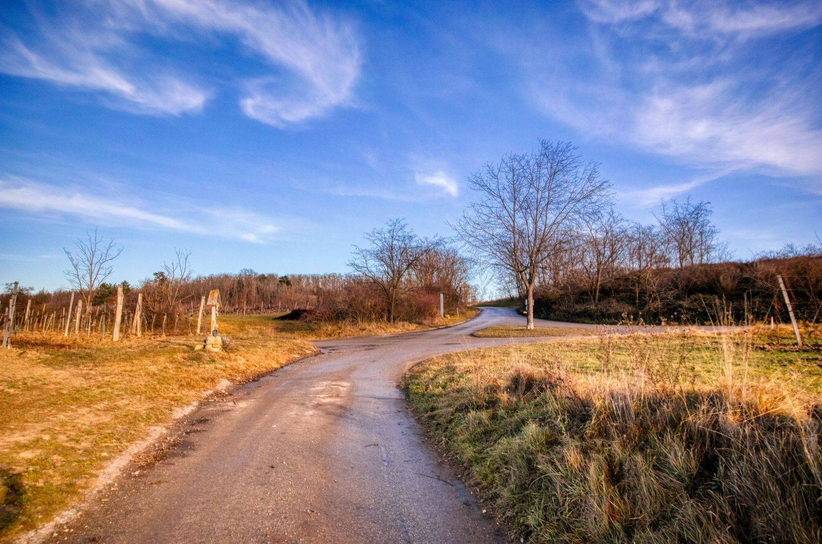
You walk up in northerly direction until you reach St. Hubert's chapel. You now have to turn right.
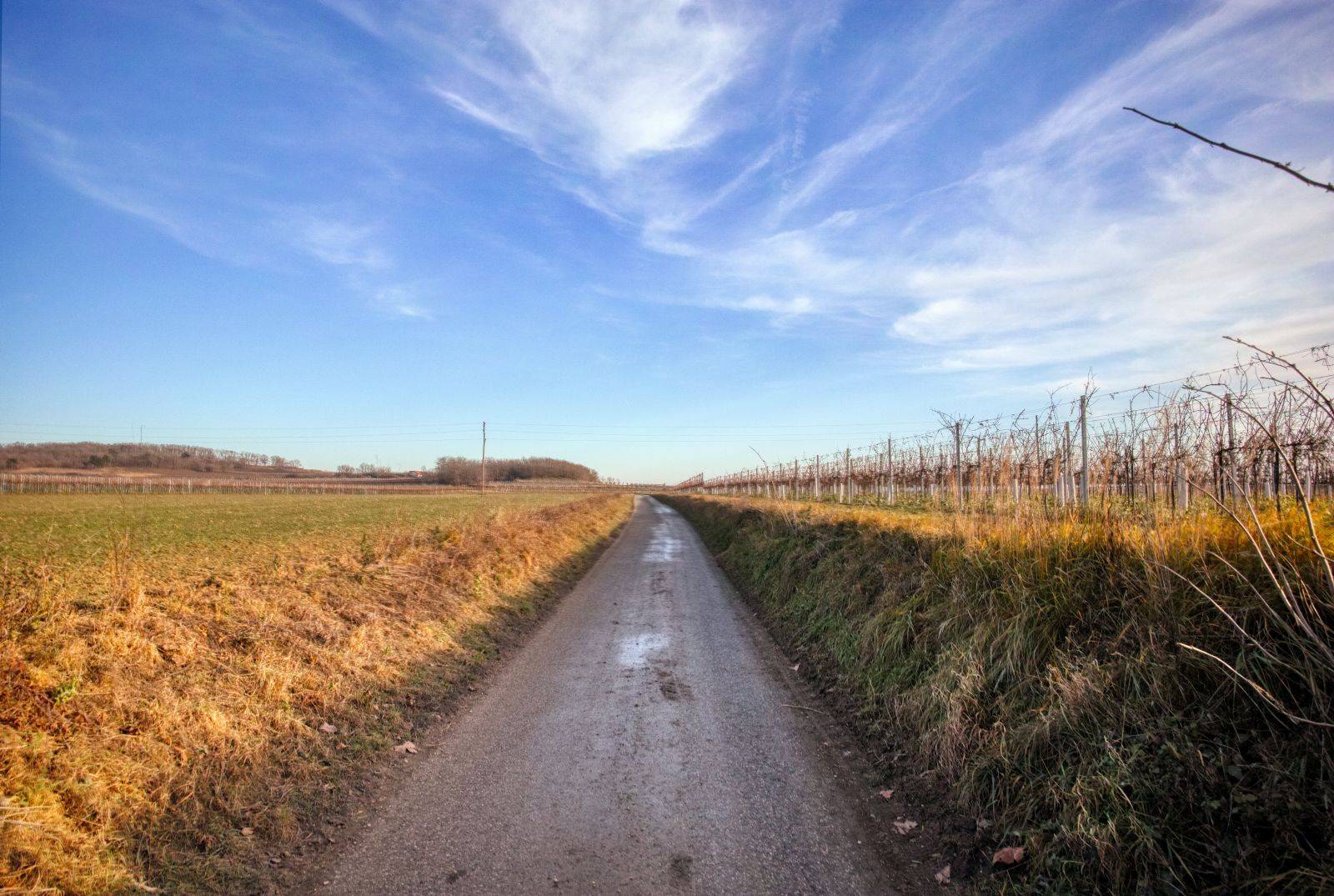
After some hundred meters through the vineyards…
you'll see the northern entrance of the "Weg des guten Gesprächs" ("path of the good conversation"), some kind of meditation park. I have already written some information on this park in this story.
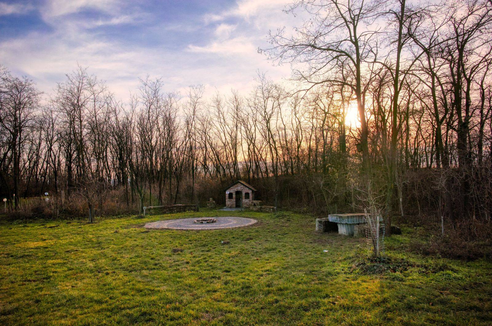
At the crossroads you have to walk straight ahead. You'll pass the "Festplatz" (a festival place) and a playground.
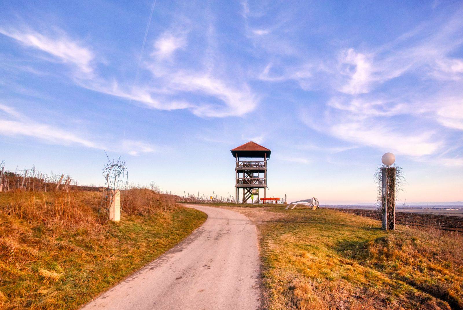
Finally, you will reach the lookout tower.

Ready to Blog & Earn?
With TravelFeed, easily start your own travel blog and earn as you go. It's the smart platform for travelers who want to profit from their passion. Create a free account
Now it's time to go up and enjoy the great view!
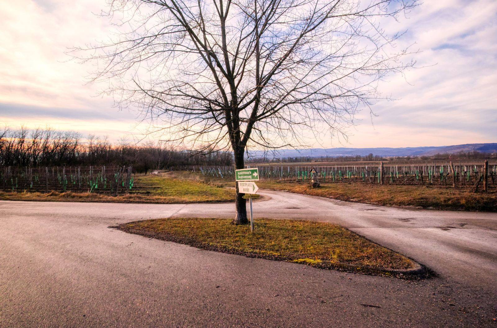
Afterwards you have to walk back to the crossroads, but now you have to turn left.
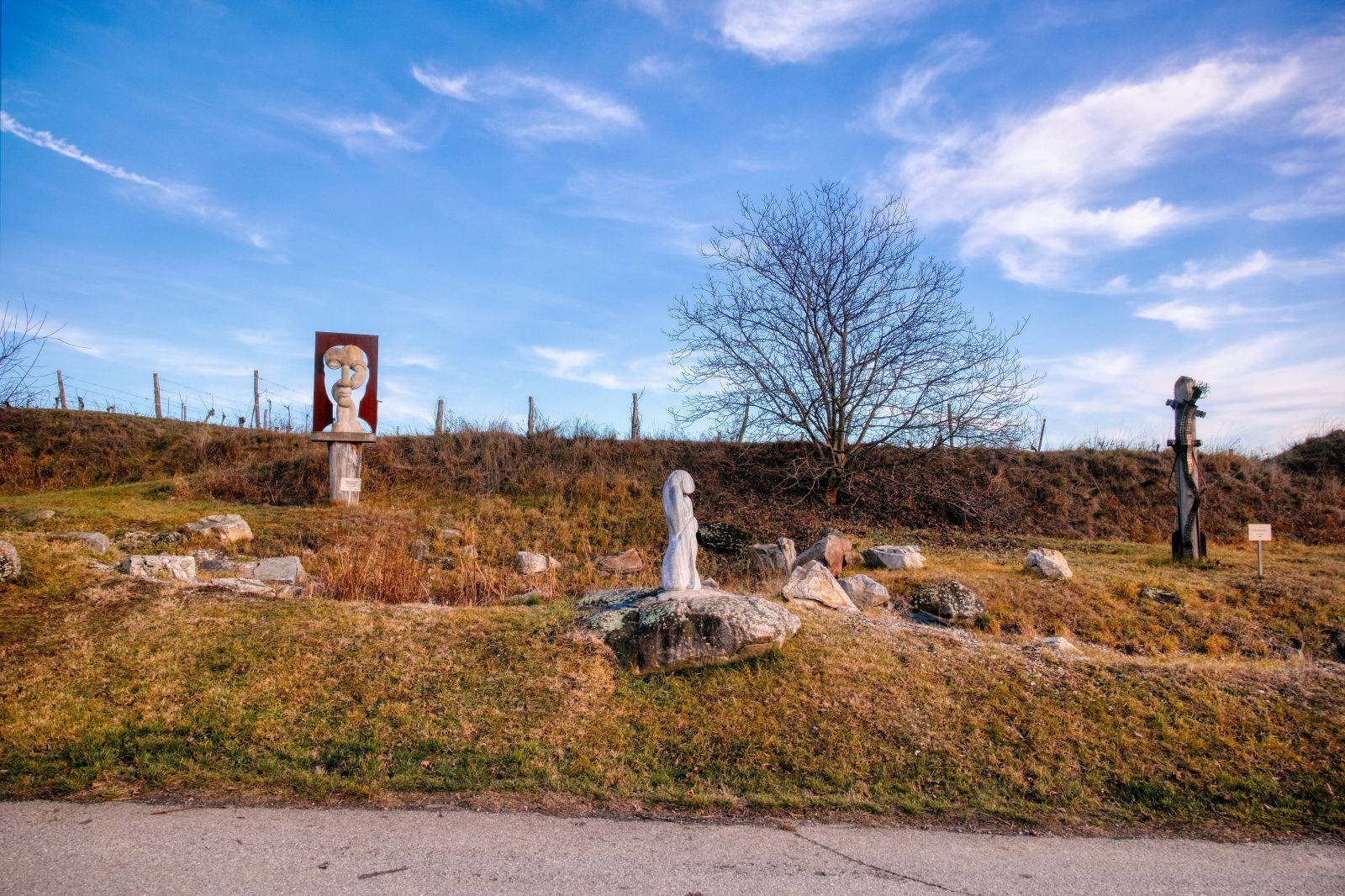
You will see the "Skulpturenriede", an sculpture park in the vineyards and finally you will come to the center of the small village Engabrunn. Please take a look at this post to get to know more about the "Skulpturenriede".
Don't Forget: Get Travel Health Insurance!
To make your trip a worry-free experience, TravelFeed recommends SafetyWing Nomad Insurance. It provides comprehensive health coverage while you travel, so you can focus on exploring, not the unexpected. Get a quote here
From here onwards, the way back to the starting point is exactly the same as on Route 4.
The total length of this hike is 5.4 kilometers. The height difference is about 116 meters, so it is not very difficult. All roads are broad and asphalted, so it is no problem to hike with a stroller, use this route for Nordic Walking or for cycling.
You'll need approximately 1.5 to 2 hours for this hike, depending on your walking speed and of course also depending on how much time you want to spend on the lookout tower or on the playground.
The official description of this hiking trail can be found on wanderwege.noetutgut.at: Choose "Waldviertel", the "Grafenegg" and finally "Route 3"!
Travel Resources for your trip to Austria
Recommended by TravelFeed
Flights: We recommend checking Kiwi.com to find the best and cheapest flights to Austria.
Accomodation: Explore the best places to stay in Austria on Booking.com, Agoda and Hostelworld.
Travel Insurance: Medical emergencies abroad can be pricey, but travel health insurance is not. We always use SafetyWing for affordable and reliable coverage.
Car Rental: For hassle-free car hiring, DiscoverCars is our trusted choice with a wide selection of vehicles.
Internet: Got an eSIM compatible phone? Airalo is perfect for reliable internet access during your trip. Just install it before you go, and you're set!
Day Trips & Tours: We recommend GetYourGuide for a variety of well-organized and enjoyable activities.
Travel Planner: Need a hand planning? Our free travel planner chatbot is your personal guide to Austria. Chat now.
Disclosure: Posts on TravelFeed may contain affiliate links. See affiliate disclosure.
